Sarasota in Sarasota County, Florida — The American South (South Atlantic)
Miakka

Photographed by Brandon D Cross, February 27, 2020
1. Miakka Marker Side 1
Side 1
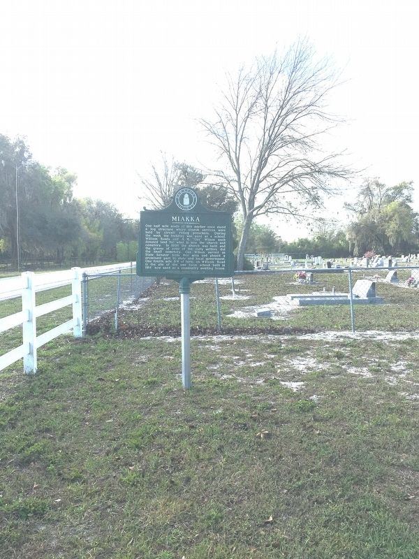
One half mile south of this marker once stood a log structure where church services were held by circuit riding preachers. During the week the building was used as a school. William Rawls and A.M. “Gus” Wilson each donated land for what is now the church and cemetery. In 1886 the church was built and the graves of some of the early settlers dot the small cemetery. Gus Wilson served as State Senator from this area and played a prominent part in state and local government. One fourth mile NW of here, on Wilson Road is the site of the one room school built in 1914 now used as a community meeting house.
Side 2
Indians were still living this area when the first settlers arrived. The deep pine forests were rich with game, the nearby Myakka River supplied them with fish. Pioneers felled the tall trees used in building their cabins and barns. Following the Civil War, the Homestead Act and burgeoning railroad industry opened up vast sections of the country including this area of Florida for more settlers. Evidence of the Pine Level Trail that led to the County Seat can still be seen at the nearby Crowley Nature Center.
this page online
Erected 1982 by Sarasota County Historical Commission.
Topics. This historical marker is listed in these topic lists: Cemeteries & Burial Sites • Education • Religion & Religious Structures • Settlements & Settlers. A significant historical year for this entry is 1886.
Location. 27° 19.024′ N, 82° 16.024′ W. Marker is in Sarasota, Florida, in Sarasota County. It is on Myakka Road 0.3 miles north of Rawls Road, on the left when traveling north. Touch for map. Marker is at or near this postal address: 1620 Myakka Road, Sarasota FL 34240, United States of America. Touch for directions.

Regionally, this marker is on the Gulf Coast. It is also in the American South and on the Gulf Coast. Globally, it is in the North Atlantic Region, North America, a Gulf of Mexico state, the Western Hemisphere, the Western World, and the Anglosphere. Historically, it finds itself in what was once New Spain, the territory of the Mississippian Culture, one of the Confederate States of America, and the Antebellum South.
Other nearby markers. At least 8 other

Photographed by Tim Fillmon, May 3, 2024
2. Miakka Marker Side 2
Photographed by Brandon D Cross, February 27, 2020
3. Miakka Marker
Photographed by Brandon D Cross, February 27, 2020
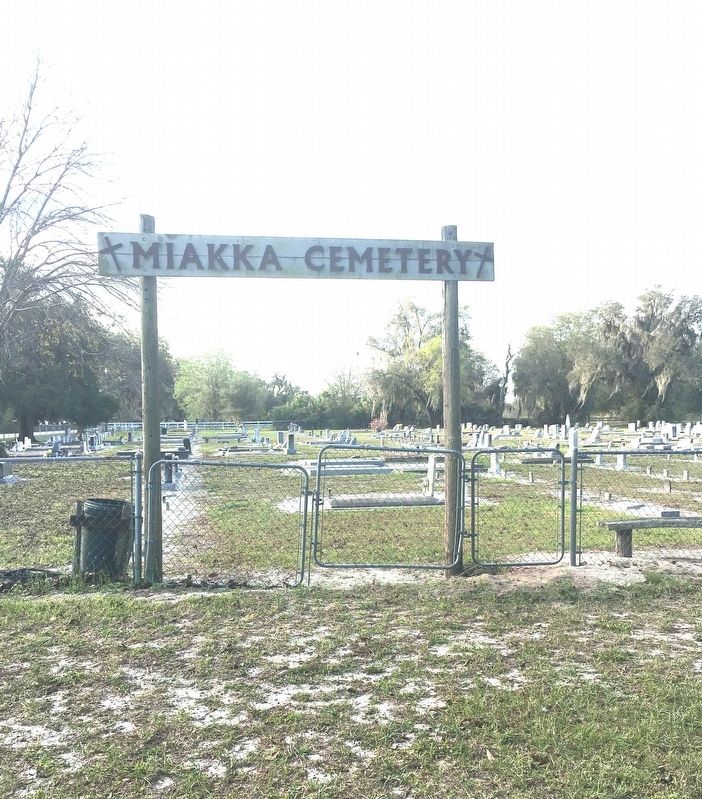
4. Miakka Cemetery
Credits. This page was last revised on May 13, 2024. It was originally submitted on March 6, 2020, by Brandon D Cross of Flagler Beach, Florida. This page has been viewed 550 times since then and 62 times this year. Photos: 1. submitted on March 6, 2020, by Brandon D Cross of Flagler Beach, Florida. 2. submitted on May 13, 2024, by Tim Fillmon of Webster, Florida. 3, 4. submitted on March 6, 2020, by Brandon D Cross of Flagler Beach, Florida. • Bernard Fisher was the editor who published this page.
