Grand Prairie in Dallas County, Texas — The American South (West South Central)
Jordan-Hight Family Cemetery
Photographed by J Frye, March 6, 2020
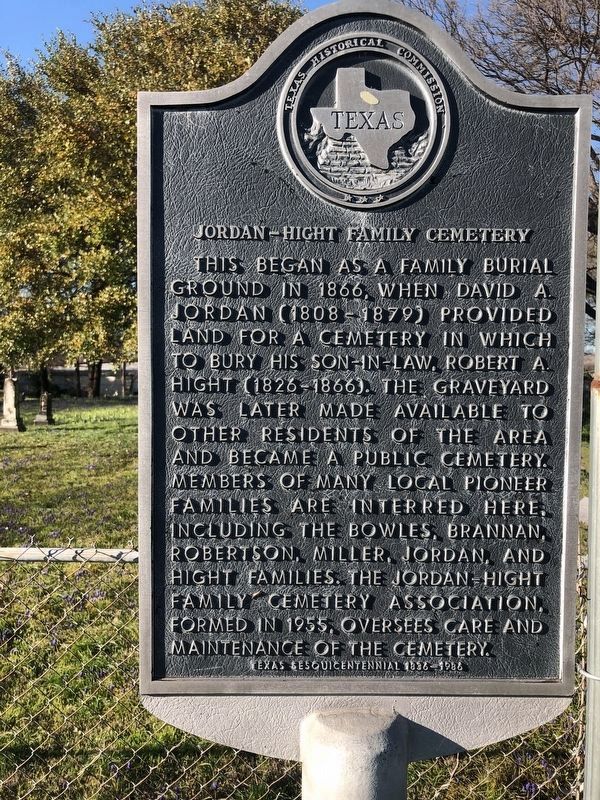
1. Jordan-Hight Family Cemetery Marker
This began as a family burial ground in 1866, when David A. Jordan (1808 - 1879) provided land for a cemetery in which to bury his son-in-law, Robert A. Hight (1826 - 1866). The graveyard was later made available to other residents of the area and became a public cemetery. Members of many local pioneer families are interred here, including the Bowles, Brannan, Robertson, Miller, Jordan, and Hight families. The Jordan-Hight Family Cemetery Association, formed in 1955, oversees care and maintenance of the cemetery.
Texas Sesquicentennial 1836 - 1986
Erected 1986 by Texas Historical Commission. (Marker Number 6749.)
Topics. This historical marker is listed in these topic lists: Cemeteries & Burial Sites • Religion & Religious Structures • Settlements & Settlers. A significant historical year for this entry is 1866.
Location. 32° 45.502′ N, 96° 57.619′ W. Marker is in Grand Prairie, Texas, in Dallas County. It is on Johnson Street east of South MacArthur Boulevard, on the right when traveling west. Touch for map. Marker is in this post office area: Grand Prairie TX 75050, United States of America. Touch for directions.

Regionally,
this page online
Other nearby markers. At least 8 other markers are within 4 miles of this marker, measured as the crow flies: Jordan-Bowles House (approx. 0.2 miles away); Hensley Field (approx. 0.9 miles away); Avion Village (approx. 2½ miles away); Uptown Theatre (approx. 2.6 miles away); Grand Prairie State Bank (approx. 2.7 miles away); Dr. H.V. Copeland Home (approx. 2.8 miles away); 340th Bomb Group (approx. 3.2 miles away); America's Airborne Forces (approx. 3.2 miles away). Touch for a list and map of all markers in Grand Prairie.
Photographed by J Frye, March 6, 2020
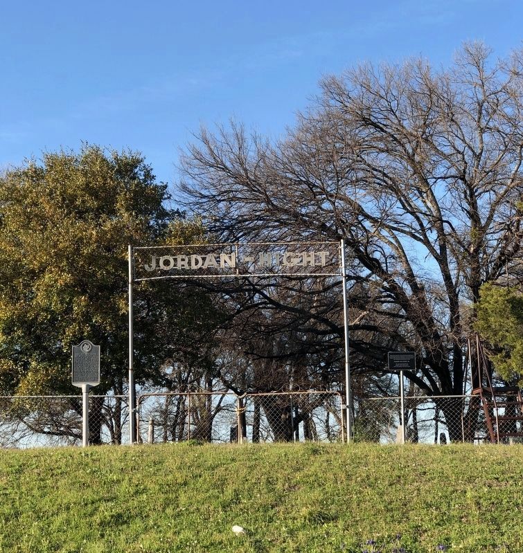
2. Jordan-Hight Family Cemetery Marker
Credits. This page was last revised on July 9, 2026. It was originally submitted on March 7, 2020, by J Frye of Fort Worth, Texas. This page has been viewed 645 times since then and 45 times this year. Photos: 1. submitted on March 7, 2020, by J. Makali Bruton of Washington, District of Columbia. 2. submitted on March 7, 2020, by J Frye of Fort Worth, Texas. • J. Makali Bruton was the editor who published this page.
