Near Camptonville in Yuba County, California — The American West (Pacific Coastal)
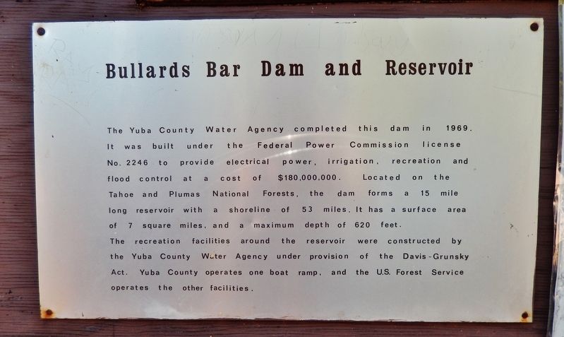
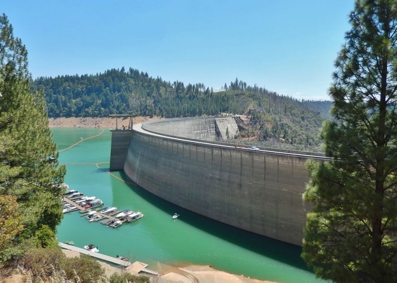
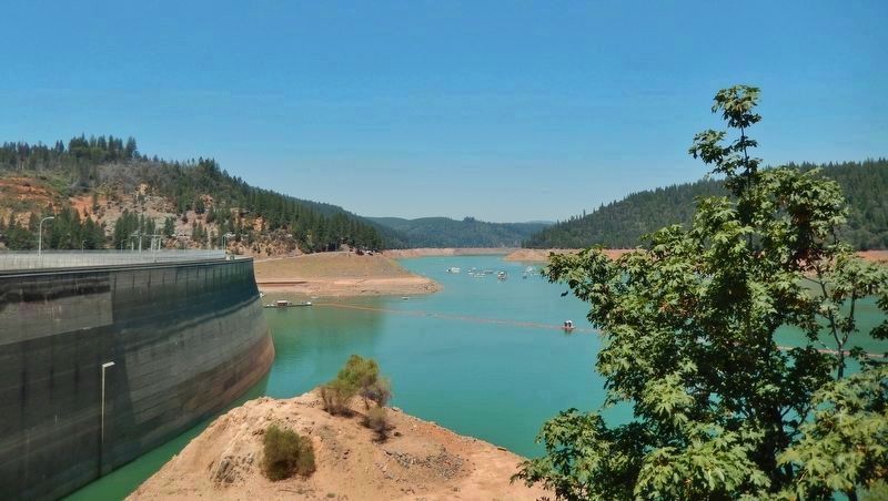
Bullards Bar Dam and Reservoir
The recreation facilities around the reservoir were constructed by the Yuba County Water Agency under provision of the Davis-Grunsky Act. Yuba County operates one boat ramp, and the U.S. Forest Service operates the other facilities.
Topics. This historical marker is listed in these topic lists: Parks & Recreational Areas • Waterways & Vessels. A significant historical year for this entry is 1969.
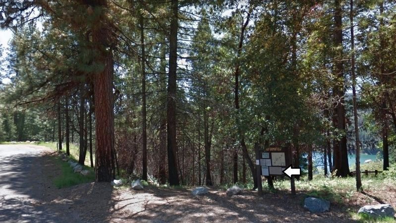
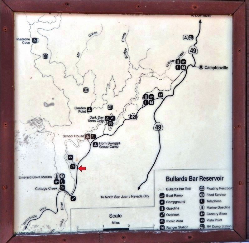
Location. 39° 23.858′ N, 121° 7.921′ W. Marker is near Camptonville, California, in Yuba County. Marker is on Vista Point Road just north of Marysville Road, on the left when traveling north. Marker is mounted on an informational kiosk at the Sunset Lookout on Vista Point Road. Touch for map. Marker is in this post office area: Camptonville CA 95922, United States of America. Touch for directions.
Other nearby markers. At least 8 other markers are within 6 miles of this marker, measured as the crow flies. North San Juan United Methodist Church (approx. 2.3 miles away); Old North San Juan School (approx. 2.4 miles away); Wells Fargo & Company / North San Juan - 1853 (approx. 2.4 miles away); North San Juan Fire Department (approx. 2½ miles away); Oregon Creek Covered Bridge (approx. 2.6 miles away); Marysville to Virginia City in 32 Hours (approx. 2.6 miles away); Dobbins (approx. 4.4 miles away); Acton Meek Cleveland (approx. 5.7 miles away). Touch for a list and map of all markers in Camptonville.
Also see . . . New Bullards Bar Dam (Wikipedia). New Bullards Bar Dam was constructed in response to a flooding event in 1955. The dam is the fourth constructed on the Bullards Bar site, succeeding diversion dams built in 1899 and 1900 as well as a 200-foot concrete arch dam built by the Yuba River Power Company and transferred to Pacific Gas and Electric Company in 1922. The dam generated power from 1924 until its inundation by the New Bullards Bar Reservoir in 1969. Although the 1899 diversion dam was washed away, the 1900 dam is still in place about a quarter mile downstream from the present dam. (Submitted on March 7, 2020, by Cosmos Mariner of Cape Canaveral, Florida.)
Photographed By Cosmos Mariner, July 26, 2014
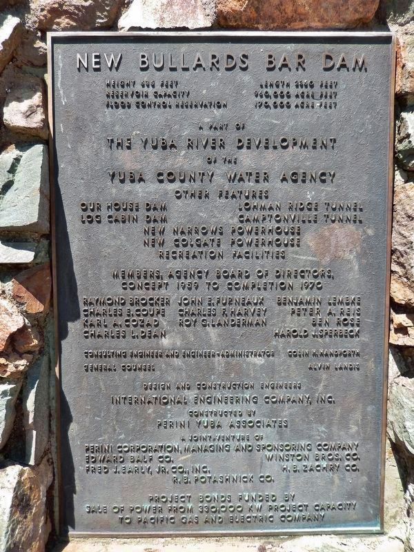
8. New Bullards Bar Dam Cornerstone
Length 2350 feet
Reservoir Capacity 960,000 acre feet
Flood Control Reservation 170,000 acre feet
A part of
The Yuba River Development
of the
Yuba County Water Agency
Other Features
Our House Dam Lohman Ridge Tunnel Log Cabin Dam Camptonville Tunnel New Narrows Powerhouse New Colgate Powerhouse Recreation Facilities
Members, Agency Board of Directors,
Concept 1959 to Completion 1970
Raymond Brocker Charles E. Coupe Karl A. Cozad Charles L. Dean John E. Furneaux Charles F. Harvey Roy G. Landerman Benjamin Lembke Peter A. Reis Ben Rose Harold J. Sperbeck
Consulting Engineer and Engineer-Administrator
Colin H. Handforth
General Counsel Alvin Landis
Design and Construction Engineers
International Engineering Company, Inc.
Constructed by
Perini Yuba Associates
A Joint Venture of
Perini Corporation, Manageing and Sponsoring Company
Edward Balf Co. Fred J. Early, Jr. Co., Inc. Winston Bros. Co. H.B. Zachry Co. R.B. Potashnick Co.
Project bonds funded by
sale of power from 330,000 KW project capacity
to Pacific Gas and Electric Company
Credits. This page was last revised on March 8, 2020. It was originally submitted on March 7, 2020, by Cosmos Mariner of Cape Canaveral, Florida. This page has been viewed 808 times since then and 102 times this year. Photos: 1, 2, 3, 4, 5, 6, 7, 8. submitted on March 7, 2020, by Cosmos Mariner of Cape Canaveral, Florida.
