
Smithfield in Johnston County, North Carolina — The American South (South Atlantic)
Sherman’s March
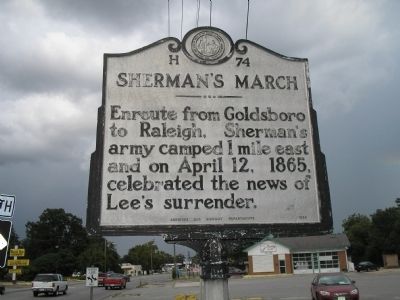
Photographed By Bill Coughlin, August 18, 2006
1. Sherman’s March Marker
Erected 1960 by Archives and Highway Departments. (Marker Number H-74.)
Topics and series. This historical marker is listed in this topic list: War, US Civil. In addition, it is included in the North Carolina Division of Archives and History series list. A significant historical month for this entry is April 1800.
Location. 35° 30.004′ N, 78° 21.057′ W. Marker is in Smithfield, North Carolina, in Johnston County. Marker is at the intersection of South Brightleaf Boulevard (U.S. 301) and Brogden Road (North Carolina Highway 1007), on the right when traveling north on South Brightleaf Boulevard. The marker is at the northeast corner of the intersection of South Brightleaf Boulevard and Brogden Road. Touch for map. Marker is at or near this postal address: 828 S Brightleaf Blvd, Smithfield NC 27577, United States of America. Touch for directions.
Other nearby markers. At least 8 other markers are within 2 miles of this marker, measured as the crow flies. Hastings House (approx. 0.8 miles away); Town of Smithfield (approx. 0.8 miles away); Sherman Receives News of Lee's Surrender in Smithfield (approx. 0.8 miles away); Occupation of Smithfield (approx. 0.8 miles away); a different marker also named The Town of Smithfield
this page online
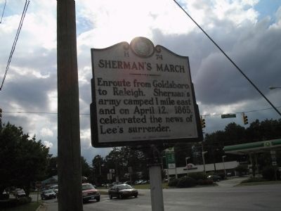
Photographed By Bill Coughlin, August 18, 2006
2. Marker on S Brightleaf Blvd
Credits. This page was last revised on May 9, 2023. It was originally submitted on December 23, 2008, by Bill Coughlin of Woodland Park, New Jersey. This page has been viewed 1,404 times since then and 27 times this year. Photos: 1, 2. submitted on December 23, 2008, by Bill Coughlin of Woodland Park, New Jersey.

