Manayunk in Philadelphia in Philadelphia County, Pennsylvania — The American Northeast (Mid-Atlantic)
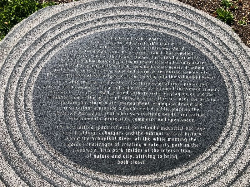
Venice Island
To enable the use of the island for this essential river protection project, PWD committed to a full scale reconstruction of the Venice Island's recreation facilities. PWD worked with its sister city agencies and the neighborhood in the master planning process. This site uses the best in sustainable storm water management, ecological design and restoration to provide a much-needed public place in the heart of Manayunk that addresses multiple needs - recreation, environmental protection, commerce and open space.
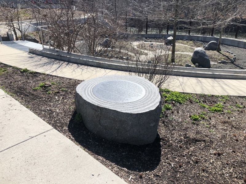
The revitalized space reflects the Island's industrial heritage, local building techniques and the vibrant natural history along the Schuylkill River, all the while meeting the rigorous challenges of creating a safe city park in the floodway. This park resides at the intersection of nature and city, striving to bring both closer.
Topics. This historical marker is listed in these topic lists: Charity & Public Work • Industry & Commerce • Parks & Recreational Areas • Waterways & Vessels. A significant historical year for this entry is 1819.
Location. 40° 1.437′ N, 75° 13.359′ W. Marker is in Philadelphia, Pennsylvania, in Philadelphia County. It is in Manayunk. Marker can be reached from Cotton Street, 0.1 miles south of Main Street, on the left when traveling south. Touch for map. Marker is at or near this postal address: 7 Lock Street, Philadelphia PA 19127, United States of America. Touch for directions.
Other nearby markers. At least 8 other markers are within walking distance of this marker. Sevill Schofield's Economy Mills (about 300 feet away, measured in a direct line); Lower Venice Island Paper Mills (about 400 feet away); Manayunk Stoops: Heart and Home (about 700 feet away); Manayunk Canal Locks 69 & 70 (about 800 feet away); The Manayunk Skyline (about 800 feet away); Transportation Corridor in Transition (approx. 0.2 miles away); The Spaventa Switchback (approx. 0.2 miles away); The "S" Bridge & The Manayunk Bridge (approx. 0.2 miles away). Touch for a list and map of all markers in Philadelphia.
Credits. This page was last revised on February 2, 2023. It was originally submitted on March 8, 2020, by Devry Becker Jones of Washington, District of Columbia. This page has been viewed 223 times since then and 27 times this year. Photos: 1, 2. submitted on March 8, 2020, by Devry Becker Jones of Washington, District of Columbia.

