Lower Merion Township near Bala Cynwyd in Montgomery County, Pennsylvania — The American Northeast (Mid-Atlantic)
The Philadelphia & Columbia Railroad
Lower Merion History

Photographed By Devry Becker Jones (CC0), March 7, 2020
1. The Philadelphia & Columbia Railroad Marker
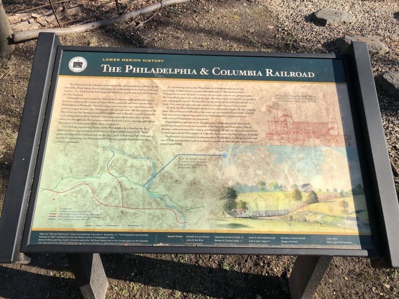
The Philadelphia & Columbia Railroad was one of America's first railways. By the late 1820s, Philadelphia, the second largest city in the nation, lacked access to western markets. New York had the Erie Canal and Baltimore would soon have the Baltimore & Ohio Railroad.
Philadelphia business interests induced the Commonwealth of Pennsylvania to fund the ambitious Main Line of Public Works, a railroad and canal system from Philadelphia to Pittsburgh. Travel between these two cities was reduced from three weeks by wagon to three and a half days by railroad and canal. The first portion of the Main Line was the railroad between Philadelphia and Columbia, a small community on the Susquehanna River. Initially contractors paid tolls to move horse-drawn trains over the railroad. The company soon evolved into a more conventional railroad that ran its own trains powered by steam locomotives.
One striking engineering feature of the Philadelphia & Columbia was the Belmont Plane, approximately two miles east of here in Fairmount Park. Steam-powered cables hauled railroad cars up the steep grade of Belmont Hill. Although a marvel of engineering, the Philadelphia & Columbia quickly found that the plane created a bottleneck.
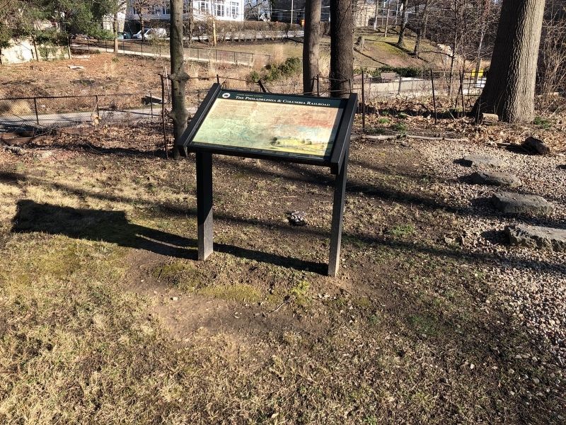
As a pioneering railway, the Philadelphia & Columbia made use of early technology. It followed the example of the Baltimore & Ohio by using heavy, rectangular cut stone "sleeper" to anchor the iron rails. You can see a few examples of the stone blocks just to the right of this sign. The heavy stone ties kept the two parallel iron rails properly spaced. This literally kept the wheels of the early railroad cars on track. Over time the early railroads switched to wooden ties on a bed of gravel.
In 1835, the West Philadelphia Railroad was chartered to the bypass the slow moving plane. Due to financial difficulties, this route was not completed until 1850, at which time most of the original alignment of the Philadelphia & Columbia between Ardmore and Philadelphia was abandoned.
Philadelphians agitated for an all rail route to Pittsburgh and the first step in achieving this goal was the incorporation of the Pennsylvania Railroad in 1846 to operate a railway between Harrisburg and Pittsburgh. In 1857 the Pennsylvania Canal Commission sold the Philadelphia & Columbia Railroad to the Pennsylvania Railroad.
The Pennsylvania Railroad, headquartered in Philadelphia, would go on to become one of America's wealthiest and most important railroads from the late-nineteenth century until 1968.
Erected by Lower Merion Township; Preserve America grant administered by the National Park Service, U.S. Department of the

Photographed By Devry Becker Jones (CC0), March 7, 2020
2. The Philadelphia & Columbia Railroad Marker
Topics and series. This historical marker is listed in these topic lists: Animals • Industry & Commerce • Railroads & Streetcars • Waterways & Vessels. In addition, it is included in the Pennsylvania Railroad (PRR) series list. A significant historical year for this entry is 1835.
Location. 40° 0.435′ N, 75° 13.928′ W. Marker is near Bala Cynwyd, Pennsylvania, in Montgomery County. It is in Lower Merion Township. Marker is at the intersection of Conshohocken State Road (Pennsylvania Route 23) and Bala Avenue, on the right when traveling north on Conshohocken State Road. Touch for map. Marker is in this post office area: Bala Cynwyd PA 19004, United States of America. Touch for directions.
Other nearby markers. At least 8 other markers are within walking distance of this marker. Bala Cynwyd World War I Memorial (within shouting distance of this marker); Somerset County PA-New York, NY-Washington, DC (approx. 0.4 miles away); West Laurel Hill Cemetery (approx. 0.6 miles away); Duffy's Cut 57 (approx. 0.6 miles away); Barmouth Train Station (approx. 0.7 miles away); Vine Creek (approx. 0.8 miles away); James A. Bland (approx. 0.9 miles away); West Laurel Hill Train Station (approx. 0.9 miles away). Touch for a list and map of all markers in Bala Cynwyd.
Credits. This page was last revised on February 7, 2023. It was originally submitted on March 8, 2020, by Devry Becker Jones of Washington, District of Columbia. This page has been viewed 404 times since then and 54 times this year. Photos: 1, 2. submitted on March 8, 2020, by Devry Becker Jones of Washington, District of Columbia.