
Cooper Grant in Camden in Camden County, New Jersey — The American Northeast (Mid-Atlantic)
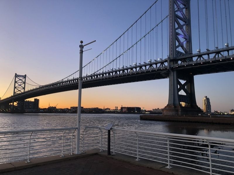
Benjamin Franklin Bridge
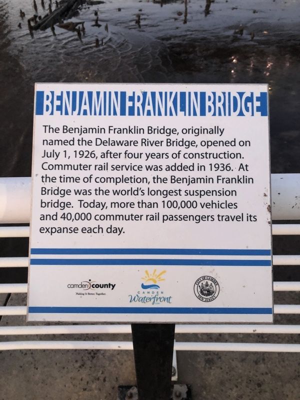
Erected by Camden County; Camden Waterfront; City of Camden, New Jersey.
Topics. This historical marker is listed in these topic lists: Bridges & Viaducts • Railroads & Streetcars • Waterways & Vessels. A significant historical date for this entry is July 1, 1926.
Location. 39° 57.06′ N, 75° 7.862′ W. Marker is in Camden, New Jersey, in Camden County. It is in Cooper Grant. It is at the intersection of Water Street and Pearl Street, on the right when traveling south on Water Street. Touch for map. Marker is at or near this postal address: 276 Pearl Street, Camden NJ 08102, United States of America. Touch for directions.

Regionally, this marker is in South Jersey and in Greater Philadelphia. It is also in the American Northeast, in the Mid-Atlantic,
this page online
Other nearby markers. At least 8 other markers are within walking distance of this marker: Campbell Soup Company (about 500 feet away, measured in a direct line); Camden Rising (approx. 0.2 miles away); The Campbell Kids (approx. 0.2 miles away); Enslaved Africans Once Sold Here (approx. ¼ mile away); Engine Company No. 6 (approx. 0.3 miles away); Daniel Cooper Ferry Hotel (approx. 0.3 miles away); Camden's Ferry System (approx. 0.3 miles away); a different marker also named Enslaved Africans Once Sold Here (approx. 0.3 miles away). Touch for a list and map of all markers in Camden.
Photographed by Devry Becker Jones (CC0), April 15, 2023
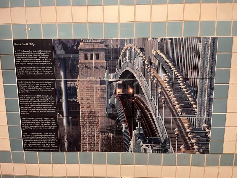
3. Additional signage about the history of the bridge inside of the City Hall (Camden) PATCO station
Credits. This page was last revised on April 23, 2023. It was originally submitted on March 9, 2020, by Devry Becker Jones of Washington, District of Columbia. This page has been viewed 343 times since then and 31 times this year. Photos: 1, 2. submitted on March 9, 2020, by Devry Becker Jones of Washington, District of Columbia. 3. submitted on April 16, 2023, by Devry Becker Jones of Washington, District of Columbia.
