Quicksand in Breathitt County, Kentucky — The American South (East South Central)
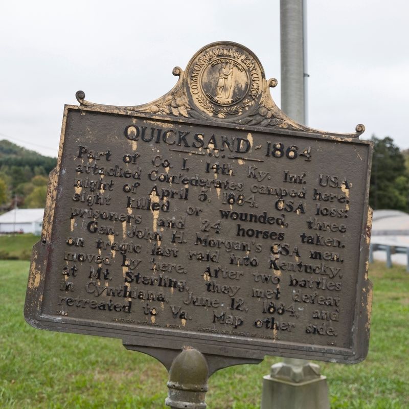
Quicksand — 1864
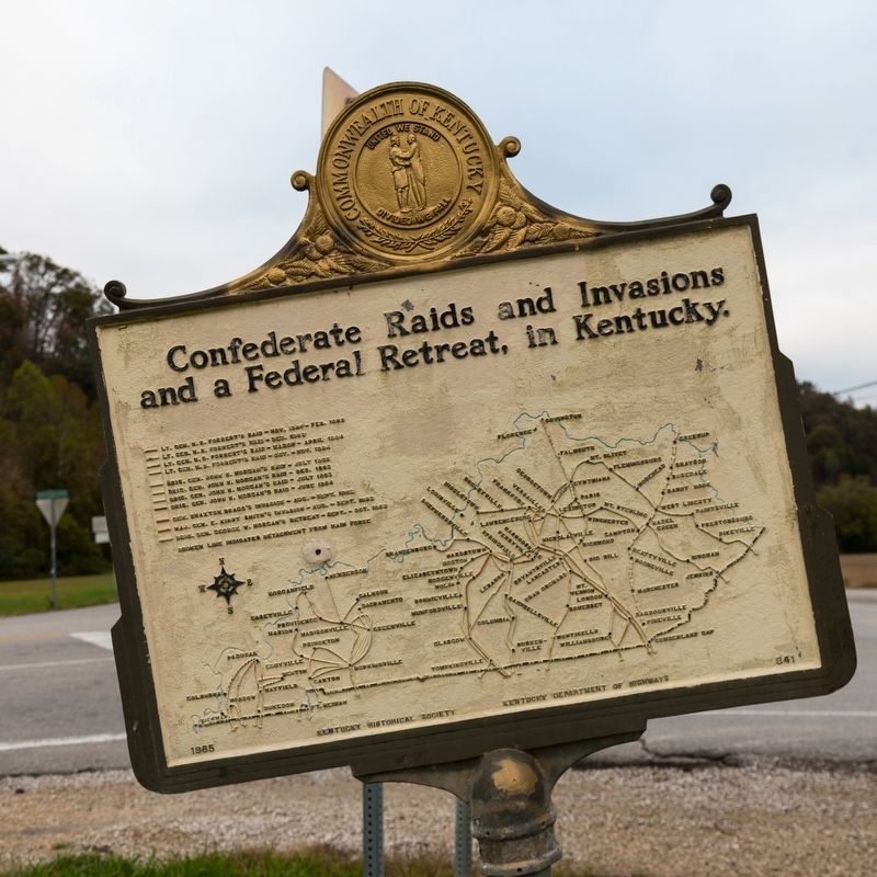
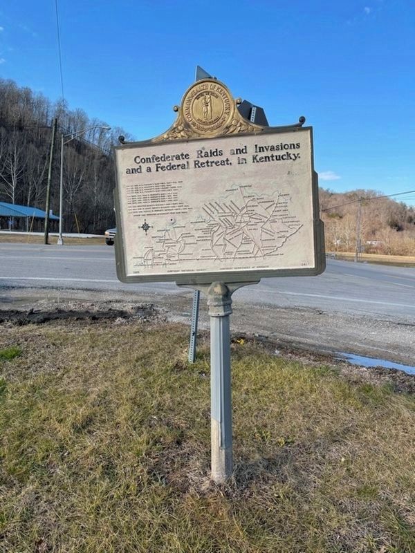
Confederate Raids and Invasions, and a Federal Retreat, in Kentucky
Gen. John H. Morgan’s CSA men, on tragic last raid into Kentucky, moved by here. After two battles at Mount Sterling, they met defeat in Cynthiana, June 12, 1864, and retreated to Virginia.
Erected 1965 by Kentucky Historical Society and Kentucky Department of Highways. (Marker Number 841.)
Topics and series. This historical marker is listed in this topic list: War, US Civil. In addition, it is included in the Kentucky - Confederate Raids and Invasions, and a Federal Retreat, and the Kentucky Historical Society series lists. A significant historical date for this entry is April 5, 1864.
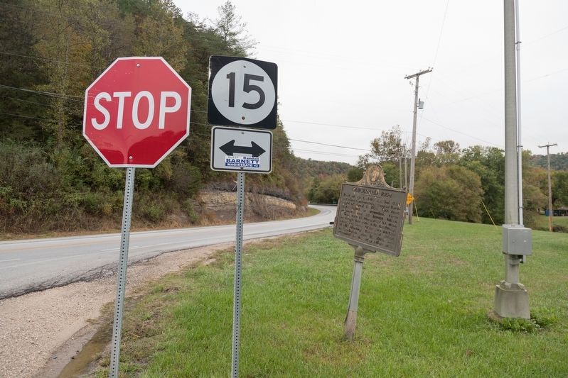
Location. 37° 32.107′ N, 83° 20.846′ W. Marker is in Quicksand, Kentucky, in Breathitt County. Marker is at the intersection of Kentucky Route 15 and Route 1089, on the left when traveling north on State Route 15. It is at the entrance to the University of Kentucky's Robinson Center for Appalachian Resource Sustainability. Touch for map. Marker is in this post office area: Jackson KY 41339, United States of America. Touch for directions.
Other nearby markers. At least 8 other markers are within 14 miles of this marker, measured as the crow flies. Willie Sandlin (approx. 2.4 miles away); Korean War Memorial (approx. 2.4 miles away); World War I Memorial (approx. 2.4 miles away); Broken Column (approx. 2.4 miles away); Breathitt County (approx. 2.4 miles away); Breathitt Volunteers (approx. 2.4 miles away); "Bloody Breathitt" (approx. 2.4 miles away); Sam and Nola of Morris Fork (approx. 13.4 miles away).
Credits. This page was last revised on March 1, 2021. It was originally submitted on March 9, 2020, by J. J. Prats of Powell, Ohio. This page has been viewed 374 times since then and 45 times this year. Photos: 1, 2, 3. submitted on March 9, 2020, by J. J. Prats of Powell, Ohio. 4. submitted on February 27, 2021, by Frank Profitt of Georgetown, Kentucky.


