Franklin in Williamson County, Tennessee — The American South (East South Central)
Samuel Claybrook Locke
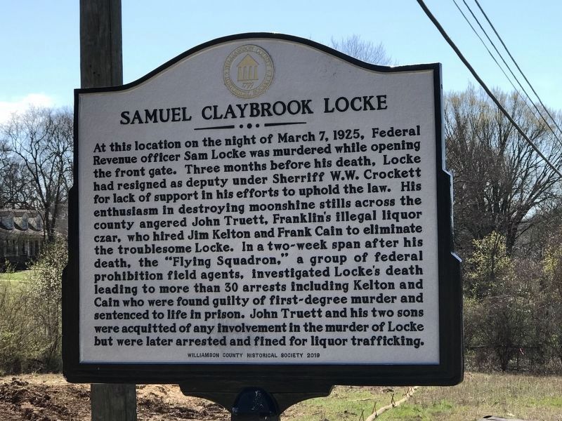
Photographed by Duane and Tracy Marsteller, March 8, 2020
1. Samuel Claybrook Locke Marker
North side of marker
Sam Locke (1877-1925) was the son of Berry and Sarah Harbison Locke of Hillsboro. In 1896, he married Beatrice Hendricks and from this union came Elsie, Rosie, Sally, Albert, Tommy and Samuel, Jr.
Erected 2019 by Williamson County Historical Society.
Topics and series.
this page online
Location. 36° 1.099′ N, 86° 53.259′ W. Marker is in Franklin, Tennessee, in Williamson County. It is on Hillsboro Road (U.S. 431) 0.1 miles south of Sneed Road West, on the left when traveling south. Touch for map. Marker is at or near this postal address: 2600 Hillsboro Road, Franklin TN 37069, United States of America. Touch for directions.

Regionally, this marker is in Middle Tennessee and in Greater Nashville. It is also in the American South and specifically in the Upper South. Globally, it is in North America, the Western Hemisphere, the Western World, and the Anglosphere. Historically, it finds itself in what was once the territory of the Mississippian Culture, one of the Confederate States of America, and the Antebellum South.
Other nearby markers. At least 8 other markers are within 3 miles of this marker, measured as the crow flies: Grassland Community (approx. half a mile away); Motheral/Moran House
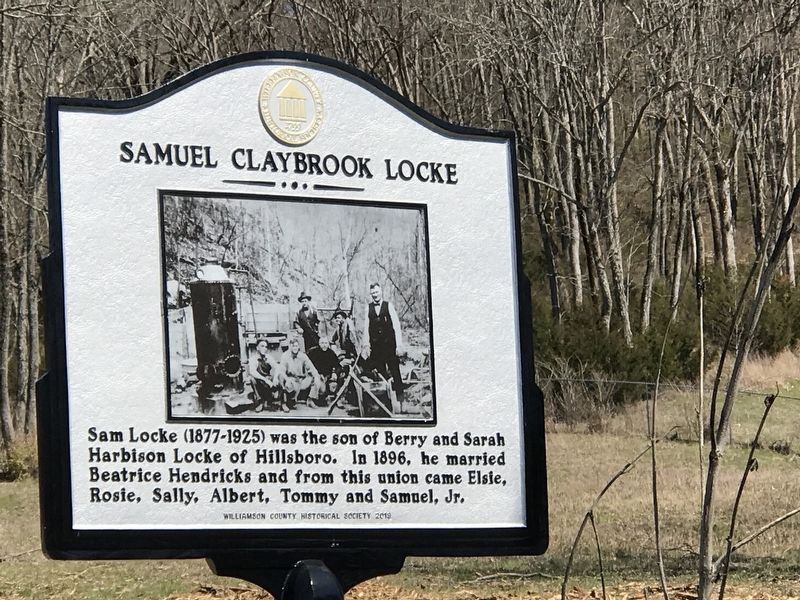
Photographed by Duane and Tracy Marsteller, March 8, 2020
2. Samuel Claybrook Locke Marker
South side of marker
Additional keywords. Prohibition
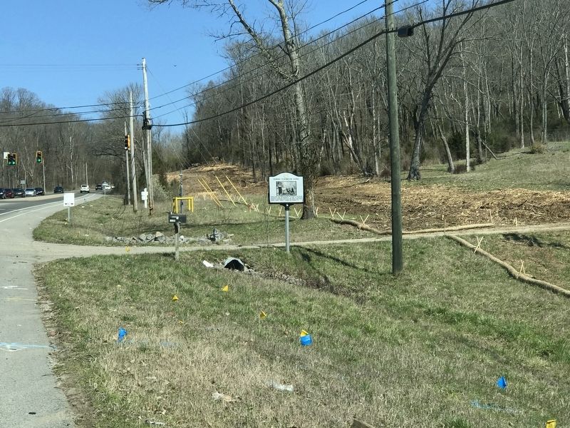
Photographed by Duane and Tracy Marsteller, March 8, 2020
3. Samuel Claybrook Locke Marker
Marker as seen traveling north on Hillsboro Road (U.S. 431)
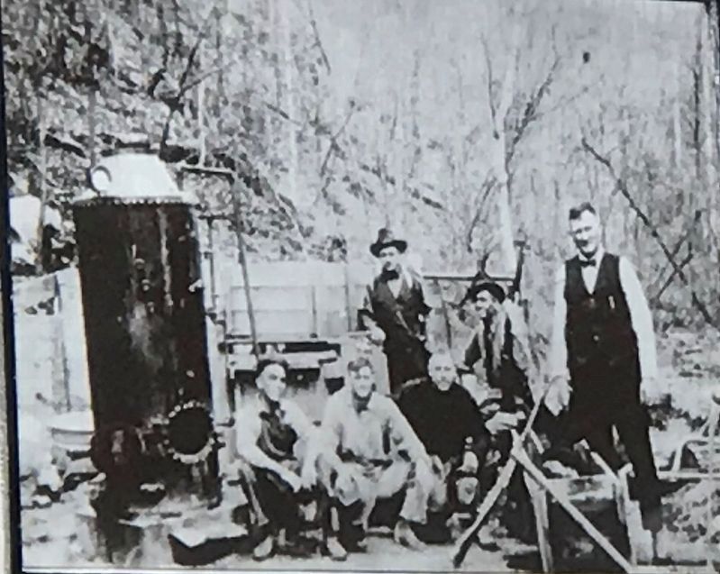
Photographed by Duane and Tracy Marsteller, March 8, 2020
4. Samuel Claybrook Locke Marker
Closeup of photo on marker
Credits. This page was last revised on August 9, 2023. It was originally submitted on March 9, 2020, by Duane and Tracy Marsteller of Murfreesboro, Tennessee. This page has been viewed 3,057 times since then and 282 times this year. Photos: 1, 2, 3, 4. submitted on March 9, 2020, by Duane and Tracy Marsteller of Murfreesboro, Tennessee. • Devry Becker Jones was the editor who published this page.
