Near East Avon in Livingston County, New York — The American Northeast (Mid-Atlantic)
Protected Farmland
Coyne Farms
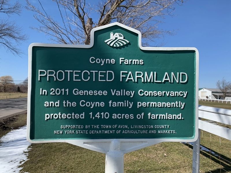
Photographed by Steve Stoessel, March 8, 2020
1. Protected Farmland Marker
Erected by Town of Avon, Livingston County, New York State Department of Agriculture and Markets.
Topics. This historical marker is listed in this topic list: Agriculture. A significant historical year for this entry is 2011.
Location. 42° 54.277′ N, 77° 41.262′ W. Marker is near East Avon, New York, in Livingston County. It is at the intersection of East Avon Lima Road (U.S. 20) and Jenks Road, on the left when traveling east on East Avon Lima Road. Touch for map. Marker is at or near this postal address: 1770 Jenks Road, Avon NY 14414, United States of America. Touch for directions.

Regionally, this marker is in Upstate New York, specifically in Western New York, in the Finger Lakes, and in the Rochester Metropolitan Area. It is also in the American Northeast and in the Mid-Atlantic. Globally, it is in North America, the Western Hemisphere, the Western World, and the Anglosphere. Historically, it finds itself in what was once the Haudenosaunee (Iroquois) Confederacy, New Netherland, and one of the
this page online
Other nearby markers. At least 8 other markers are within 3 miles of this marker, measured as the crow flies: East Avon (approx. one mile away); John Hubbard Forsyth (approx. 1.8 miles away); North Avon (approx. 1.8 miles away); Marshall Farm (approx. 2.3 miles away); Yellow Wasp Inn (approx. 2.6 miles away); Albert C. Burke Jr. (approx. 2.9 miles away); Avon Civil War Monument (approx. 3 miles away); Town of Avon Civil War Memorial (approx. 3 miles away).
Also see . . . Coyne Farms. (Submitted on March 10, 2020, by Michael Herrick of Southbury, Connecticut.)
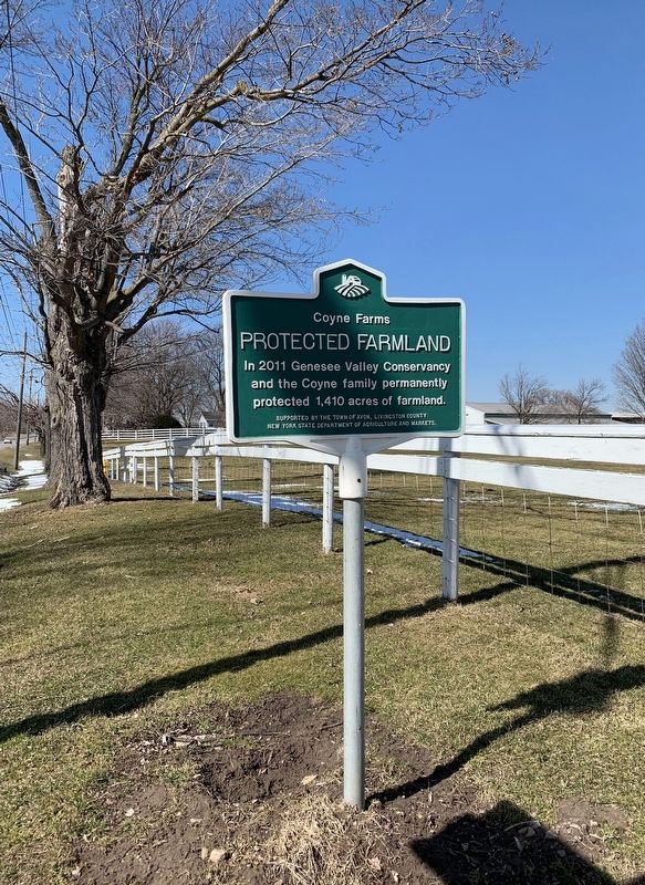
Photographed by Steve Stoessel, March 8, 2020
2. Protected Farmland Marker
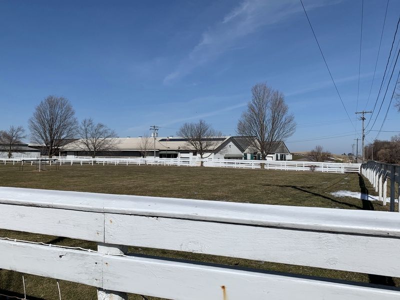
Photographed by Steve Stoessel, March 8, 2020
3. Coyne Farm
Credits. This page was last revised on March 10, 2020. It was originally submitted on March 9, 2020, by Steve Stoessel of Niskayuna, New York. This page has been viewed 349 times since then and 34 times this year. Photos: 1, 2, 3. submitted on March 9, 2020, by Steve Stoessel of Niskayuna, New York. • Michael Herrick was the editor who published this page.
