Historic District in St. Augustine in St. Johns County, Florida — The American South (South Atlantic)
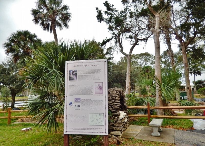
An Archaeological Discovery
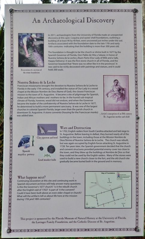
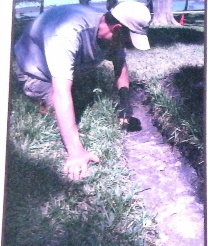
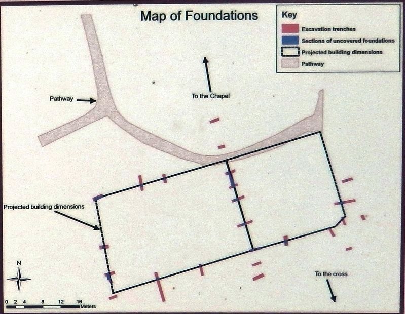
The foundation is thought to be the church or shrine built in 1677 by the Spanish Governor of Florida, Don Pablo de Hita y Salazar, in honor of Nuestra Señora de la Leche y Buen Parto (Our Lady of Milk and a Safe, Happy Delivery). It was the first stone church in all of Florida, and the Governor boasted that "there was no other like it in the provinces". It was said to be richly decorated with paintings and statues, and it could hold 200 souls.
Nuestra Señora de la Leche
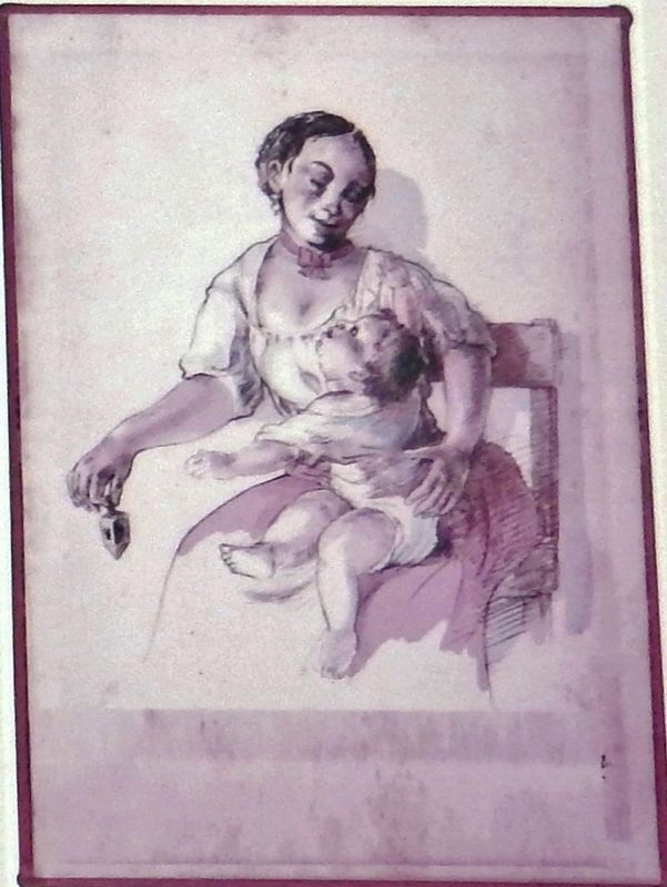
Franciscan missionaries brought the devotion to Nuestra Señora de la Leche to Florida in the early 17th century, and installed the statue of Our Lady in a wood chapel at the Mission Nombre de Dios (Name of God), the closest Franciscan mission to the town of St. Augustine. It became a site of pilgrimage for Spanish, Indian and African mothers and mothers-to-be. In the humid sub-tropical climate of Florida, however, wood did not endure, and when the Governor became the leader of the confraternity of Nuestra Señora de la Leche in 1677, he determined to build a more permanent sanctuary. It was one of the largest churches in colonial Spanish Florida, larger even than the parish church in downtown St. Augustine. A stone convento (housing for the Franciscan monks) was added later.
Wars and Destruction
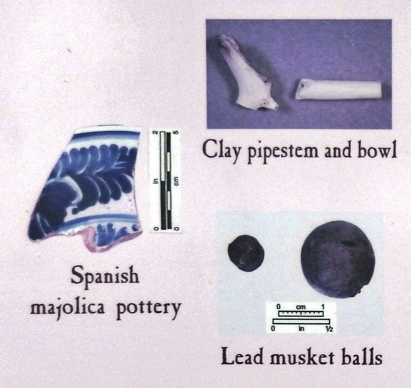
In 1702, English raiders from South Carolina attacked and laid siege to St. Augustine. Before leaving in defeat, they burned nearly all of the buildings in the town, including those at the Mission Nombre de Dios/Shrine of Nuestra Señora de la Leche. The church was rebuilt, but was again occupied by English forces attacking St. Augustine in 1728. Ten years later, the Spanish government decided that the church and convent structures provided potential enemy cover too close to the town, and they blew up the buildings at Nombre de Dios so that they could not be used by the English raiders. Many of the stones were used to build a new church closer to the fort, and the old church site gradually became buried both in the ground and in memory.
What happens next?
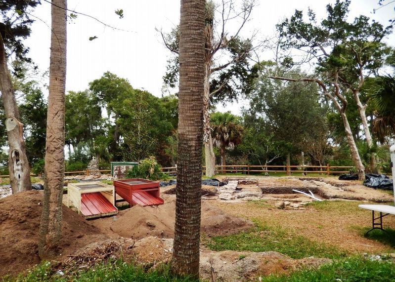
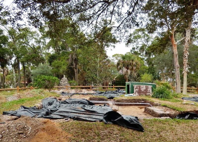
Continuing excavation at this site and continuing work in Spanish document archives will help answer many questions: Is this the Governor's 1677 church? Is it the rebuilt church after the English raid of 1702? Is part of it the convent? Could it have been built above an even older chapel or church? What will the artifacts tell us about life here at the mission during 17th and 18th centuries?
Erected by Florida Museum of Natural History at the University of Florida, Lastinger Family Foundation, and the Catholic Diocese of St. Augustine.
Topics. This historical marker is listed in these topic lists: Anthropology & Archaeology • Churches & Religion • Colonial Era • Settlements & Settlers.
Location. 29° 54.266′ N, 81° 18.898′ W. Marker is in St. Augustine, Florida, in St. Johns County. It is in the Historic District. Marker can be reached from the intersection of San Marco Avenue (Florida Route A1A) and Old Mission Avenue, on the right when traveling north. Marker is located along the walkway at Our Lady of La Leche National Shrine grounds at Mission Nombre de Dios. Touch for map. Marker is at or near this postal address: 101 San Marco Avenue, Saint Augustine FL 32084, United States of America. Touch for directions.
Other nearby markers. At least 8 other markers are within walking distance of this marker. Nombre de Dios Mission (a few steps from this marker); Archaeology at the 17th Century Shrine of Nuestra Señora de la Leche (a few steps from this marker); Msgr. Harold Frederick Jordan (within shouting distance of this marker); Archaeology at the Nombre de Dios Mission — Nuestra Señora de La Leche Shrine (within shouting distance of this marker); Historic Shrine of Our Lady of La Leche (within shouting distance of this marker); Our Lady of La Leche (within shouting distance of this marker); Mission Nombre de Dios (within shouting distance of this marker); Rustic Altar (about 300 feet away, measured in a direct line). Touch for a list and map of all markers in St. Augustine.
Related markers. Click here for a list of markers that are related to this marker. Archaeology at Mission Nombre de Dios
Credits. This page was last revised on March 12, 2020. It was originally submitted on March 11, 2020, by Cosmos Mariner of Cape Canaveral, Florida. This page has been viewed 309 times since then and 14 times this year. Photos: 1, 2. submitted on March 11, 2020, by Cosmos Mariner of Cape Canaveral, Florida. 3, 4. submitted on March 12, 2020, by Cosmos Mariner of Cape Canaveral, Florida. 5, 6. submitted on March 11, 2020, by Cosmos Mariner of Cape Canaveral, Florida. 7, 8. submitted on March 12, 2020, by Cosmos Mariner of Cape Canaveral, Florida.
