Ithaca in Tompkins County, New York — The American Northeast (Mid-Atlantic)
Buttermilk Falls
A Small Part of a Grand Watershed
Photographed by Cosmos Mariner, July 14, 2017
1. Buttermilk Falls Marker
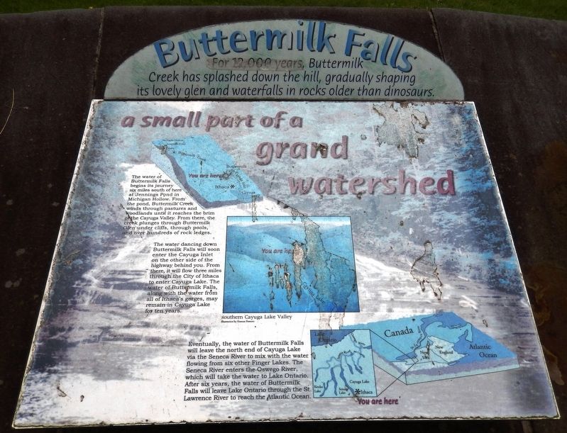
The water of Buttermilk Falls begins its journey six miles south of here at Jennings Pond in Michigan Hollow. From the pond, Buttermilk Creek winds through pastures and woodlands until it reaches the brim of the Cayuga Valley. From there, the creek plunges through Buttermilk Glen under cliffs, through pools, and over hundreds of rock ledges.
The water dancing down Buttermilk Falls will soon enter the Cayuga Inlet on the other side of the highway behind you. From there, it will flow three miles through the City of Ithaca to enter Cayuga Lake. The water of Buttermilk Falls, along with the water from all of Ithaca's gorges, may remain in Cayuga Lake for ten years.
Eventually, the water of Buttermilk Falls will leave the north end of Cayuga Lake via the Seneca River to mix with the water flowing from six other Finger Lakes. The Seneca River enters the Oswego River, which will take the water to Lake Ontario. After six years, the water of Buttermilk Falls will leave Lake Ontario
this page online
Topics. This historical marker is listed in this topic list: Natural Features.
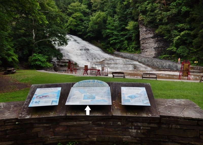
Location. 42° 24.994′ N, 76° 31.262′ W. Marker is in Ithaca, New York, in Tompkins County. It can be reached from East Buttermilk Falls Road 0.1 miles east of Elmira Road (New York State Route 96) when traveling east. Marker is located just inside the Buttermilk Falls State Park entrance, overlooking the pool in front of the falls. Marker is center of three interpretive panels overlooking the falls. Touch for map. Marker is at or near this postal address: 106 East Buttermilk Falls Road, Ithaca NY 14850, United States of America. Touch for directions.

Regionally, this marker is in Upstate New York and in the Southern Tier. It is also in the American Northeast and in the Mid-Atlantic. Globally, it is in North America, the Western Hemisphere, the Western World, and the Anglosphere. Historically, it finds itself in what was once the Haudenosaunee (Iroquois) Confederacy, New Netherland, and one of the original Thirteen Colonies.
Other nearby markers. At
Photographed by Cosmos Mariner, July 14, 2017
2. Buttermilk Falls Marker
Related markers. Click here for a list of markers that are related to this marker. Buttermilk Falls
Credits. This page was last revised on March 12, 2020. It was originally submitted on March 12, 2020, by Cosmos Mariner of Cape Canaveral, Florida. This page has been viewed 404 times since then and 24 times this year. Photos: 1, 2. submitted on March 12, 2020, by Cosmos Mariner of Cape Canaveral, Florida.
