Ithaca in Tompkins County, New York — The American Northeast (Mid-Atlantic)
Glaciers Cut the Valley; the Creek Cut the Gorge
Inscription.
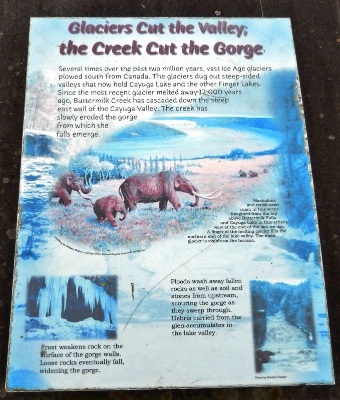
Several times over the past two million years, vast Ice Age glaciers plowed south from Canada. The glaciers dug out steep-sided valleys that now hold Cayuga Lake and the other Finger Lakes. Since the most recent glacier melted away12,000 years ago, Buttermilk Creek has cascaded down the steep east wall of the Cayuga Valley. The creek has slowly eroded the gorge from which the falls emerge.
Floods wash away fallen rocks as well as soil and stones from upstream, scouring the gorge as they sweep through. Debris carried from the glen accumulates in the lake valley.
Frost weakens rock on the surface of the gorge walls. Loose rocks eventually fall, widening the gorge.
Topics. This historical marker is listed in this topic list: Natural Features.
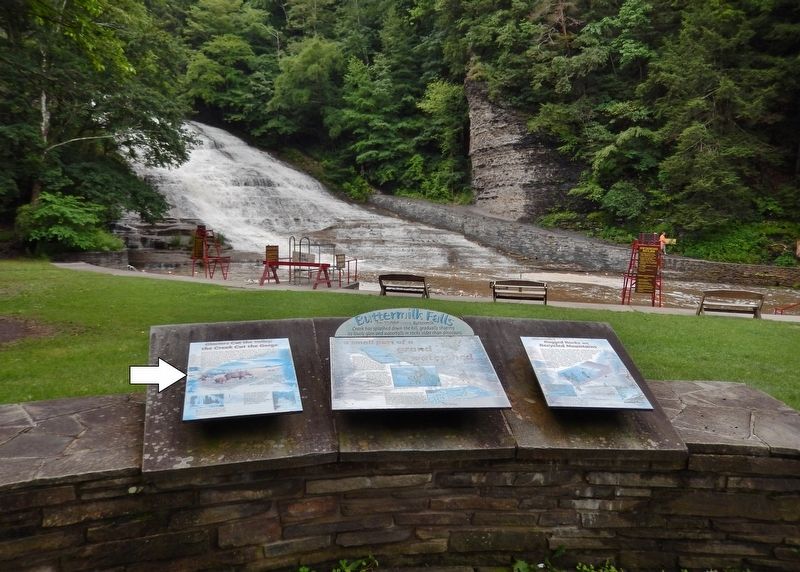
Location. 42° 24.995′ N, 76° 31.261′ W. Marker is in Ithaca, New York, in Tompkins County. Marker can be reached from East Buttermilk Falls Road, 0.1 miles east of Elmira Road (New York State Route 96) when traveling east. Marker is located just inside the Buttermilk Falls State Park entrance, overlooking the pool in front of the falls. Marker is leftmost of three interpretive panels overlooking the falls. Touch for map. Marker is at or near this postal address: 106 East Buttermilk Falls Road, Ithaca NY 14850, United States of America. Touch for directions.
Other nearby markers. At least 8 other markers are within 2 miles of this marker, measured as the crow flies. Buttermilk Falls (here, next to this marker); Buttermilk's Rugged Rocks are Recycled Mountains (here, next to this marker); C.C.C. CO. #1265 (about 500 feet away, measured in a direct line); Coreorgonel (approx. 0.3 miles away); Tutelo Indians (approx. 0.7 miles away); Fisher’s Tavern (approx. 0.9 miles away); Inclined Plane (approx. 1˝ miles away); Military Lots (approx. 1.9 miles away). Touch for a list and map of all markers in Ithaca.
Related markers. Click here for a list of markers that are related to this marker. Buttermilk Falls

by William Dilger, courtesy of the Paleontological Research Institution, July 14, 2017
2. Marker detail: Mastodons
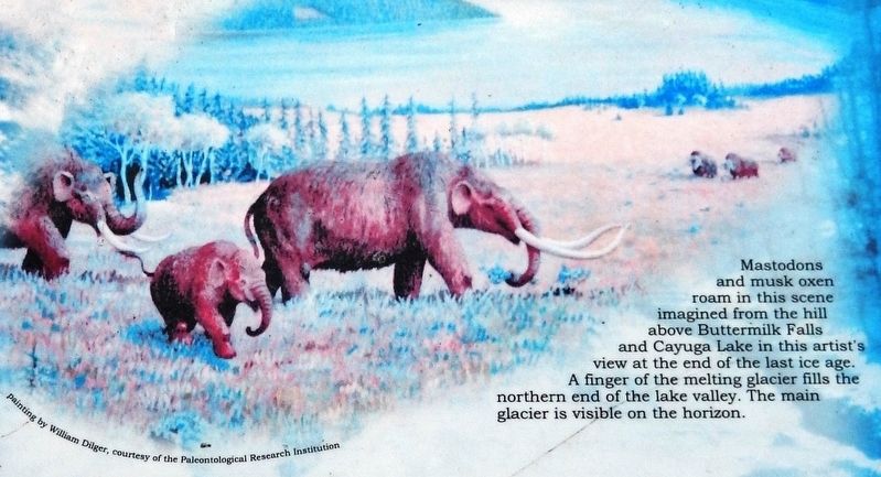
Mastodons and musk oxen roam in this scene imagined from the hill above Buttermilk Falls and Cayuga Lake in this artist's view at the end of the last ice age. A finger of the melting glacier fills the northern end of the lake valley. The main glacier is visible on the horizon.
Credits. This page was last revised on March 12, 2020. It was originally submitted on March 12, 2020, by Cosmos Mariner of Cape Canaveral, Florida. This page has been viewed 143 times since then and 14 times this year. Photos: 1, 2, 3. submitted on March 12, 2020, by Cosmos Mariner of Cape Canaveral, Florida.

