Ithaca in Tompkins County, New York — The American Northeast (Mid-Atlantic)
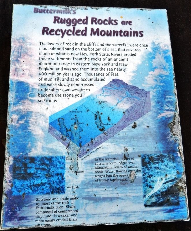
Buttermilk's Rugged Rocks are Recycled Mountains
Inscription.
The layers of rock in the cliffs and the waterfall were once mud, silt and sand on the bottom of a sea that covered much of what is now New York State. Rivers eroded these sediments from the rocks of an ancient Mountain range in eastern New York and New England and washed them into the sea nearly 400 million years ago. Thousands of feet of mud, silt and sand accumulated and were slowly compressed under their own weight to become the stone you see today.
In the waterfall, layers of siltstone form ledges over alternating layers of weaker shale. Water flowing over the ledges has the appearance of frothy buttermilk.
Siltstone and shale make up most of the rock of Buttermilk Glen. Shale, composed of compressed clay mud, is weaker and more easily eroded than siltstone.
Topics. This historical marker is listed in this topic list: Natural Features.
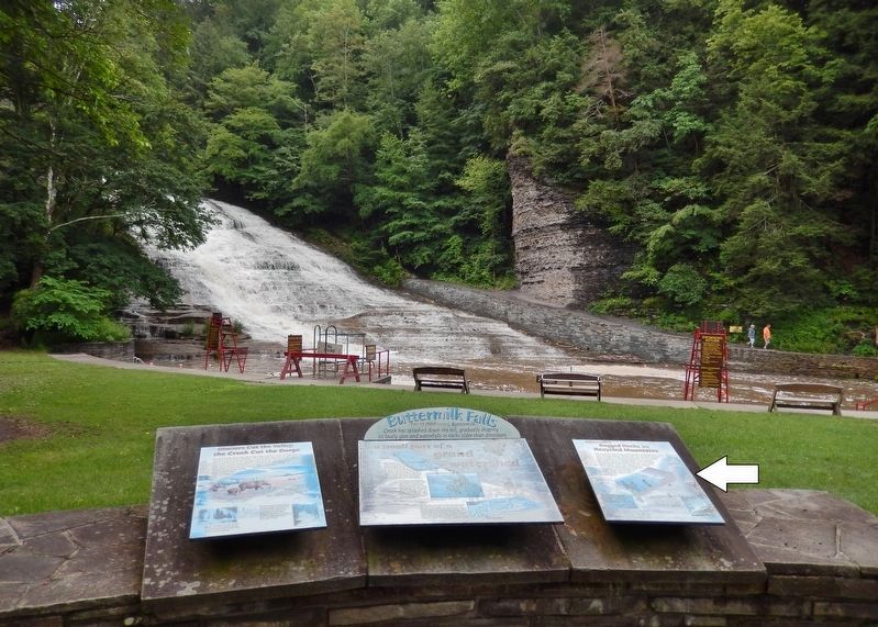
Location. 42° 24.995′ N, 76° 31.262′ W. Marker is in Ithaca, New York, in Tompkins County. Marker can be reached from East Buttermilk Falls Road, 0.1 miles east of Elmira Road (New York State Route 96) when traveling east. Marker is located just inside the Buttermilk Falls State Park entrance, overlooking the pool in front of the falls. Marker is rightmost of three interpretive panels overlooking the falls. Touch for map. Marker is at or near this postal address: 106 East Buttermilk Falls Road, Ithaca NY 14850, United States of America. Touch for directions.
Other nearby markers. At least 8 other markers are within 2 miles of this marker, measured as the crow flies. Buttermilk Falls (here, next to this marker); Glaciers Cut the Valley; the Creek Cut the Gorge (here, next to this marker); C.C.C. CO. #1265 (about 500 feet away, measured in a direct line); Coreorgonel (approx. 0.3 miles away); Tutelo Indians (approx. 0.7 miles away); Fisher’s Tavern (approx. 0.9 miles away); Inclined Plane (approx. 1˝ miles away); Military Lots (approx. 1.9 miles away). Touch for a list and map of all markers in Ithaca.
Related markers. Click here for a list of markers that are related to this marker. Buttermilk Falls
Credits. This page was last revised on March 12, 2020. It was originally submitted on March 12, 2020, by Cosmos Mariner of Cape Canaveral, Florida. This page has been viewed 146 times since then and 12 times this year. Photos: 1, 2. submitted on March 12, 2020, by Cosmos Mariner of Cape Canaveral, Florida.

