
Santa Paula in Ventura County, California — The American West (Pacific Coastal)
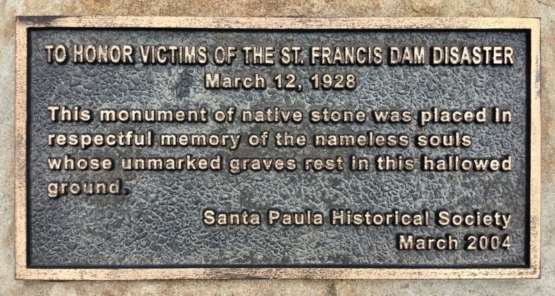
St. Francis Dam Disaster
Photographed by Craig Baker, March 25, 2018
1. St. Francis Dam Disaster Marker
Erected 2004 by Santa Paula Historical Society.
Topics. This historical marker is listed in these topic lists: Cemeteries & Burial Sites • Disasters. A significant historical date for this entry is March 12, 1928.
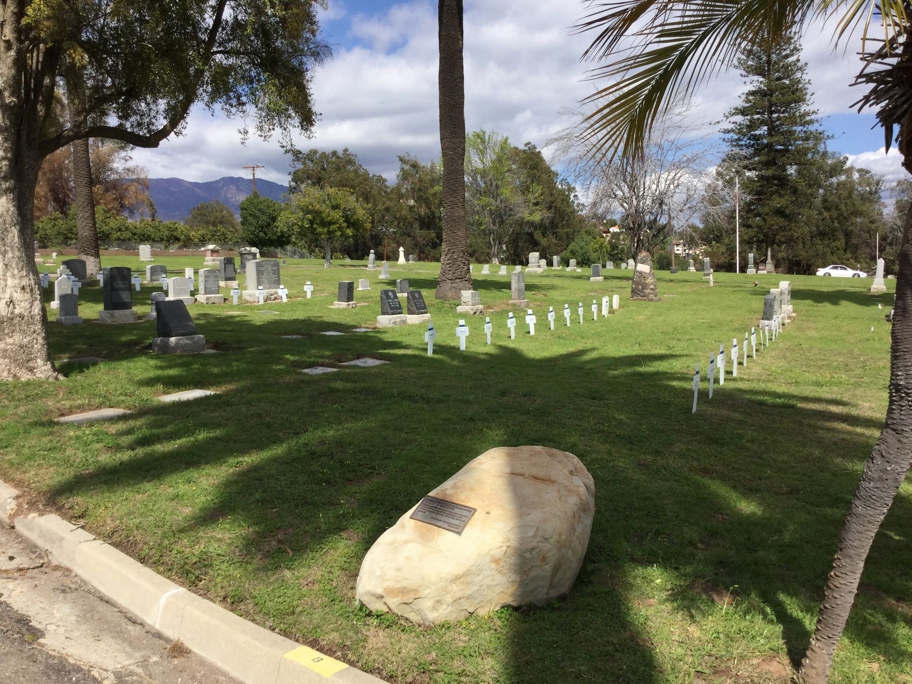
Location. 34° 21.255′ N, 119° 4.79′ W. Marker is in Santa Paula, California, in Ventura County. It can be reached from Cemetery Road north of West Santa Paula Street. Near the back of the cemetery. Touch for map. Marker is at or near this postal address: 380 Cemetery Road, Santa Paula CA 93060, United States of America. Touch for directions.

Regionally, this marker is in Greater Los Angeles, on the Central Coast, and in the Transverse Ranges. It is also on the American Pacific Coast. Globally, it is in North America, on the Ring of Fire, in the Pacific Rim, in the Western Hemisphere, in the Western World, and in the Anglosphere. Historically, it finds itself in what was once New Spain and also Mexico’s Alta California.
Other nearby markers. At least 8 other markers are within one mile of this marker,
this page online
Regarding St. Francis Dam Disaster. The St. Francis Dam was constructed from 1924 to 1926, with a 12.5-billion-gallon capacity. At 11:57 pm on March 12, 1928, the dam failed, sending a 180-foot-high wall of water down San Francisquito Canyon to the Santa Clara River, reaching the Pacific Ocean near Ventura 5½ hours later. Over 400 people were killed. It was the second-worst disaster in California history, after the great San Francisco earthquake and fire of 1906, in terms of lives lost, and America's worst civil engineering failure of the 20th Century. On March 12, 2019, the Saint Francis Dam Disaster National Monument was established. Fundraising is underway to build a visitor center at the dam site.
Related markers. Click here for a list of markers that are related to this marker. — St. Francis
Photographed by Craig Baker, March 25, 2018
2. St. Francis Dam Disaster Marker
Also see . . . Thesis by Ann Stansell. A detailed study of the human loss, 2014. (Submitted on April 1, 2018.)
Additional keywords. Saint Francis Dam
Photographed by Craig Baker, March 25, 2018
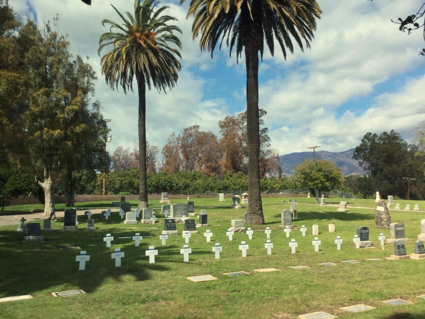
3. St. Francis Dam Disaster Victims
On the 90th anniversary of the flood, victims’ gravesites are indicated with temporary crosses. Many graves are not marked because the victims were not identified. A total of 57 flood victims are buried in this cemetery. There were only 16 deaths in Santa Paula. The others were from upstream.
Credits. This page was last revised on October 3, 2025. It was originally submitted on April 1, 2018, by Craig Baker of Sylmar, California. This page has been viewed 848 times since then and 46 times this year. Last updated on March 13, 2020, by Craig Baker of Sylmar, California. Photos: 1, 2, 3. submitted on April 1, 2018, by Craig Baker of Sylmar, California. • J. Makali Bruton was the editor who published this page.
