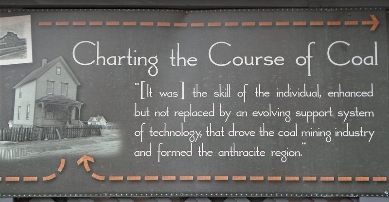
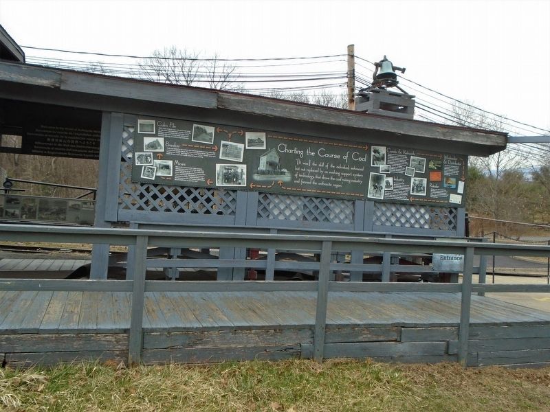
Charting the Course of Coal
"[It was] the skill of the individual, enhanced but not replaced by an evolving support system of technology, that drove the coal mining industry and formed the anthracite region."
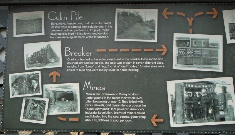
Mines
Men in the Lackawanna Valley worked underground in the mines their whole lives, often beginning at age 12. They toiled with picks, shovels, and dynamite to produce the "black diamonds" that powered America's Industrial Revolution. Teams of miners drilled and blasted into the coal seams, generating about 35,000 tons of coal per day.
Breaker
Coal was hoisted to the surface and sent to the breaker to be sorted and crushed into salable pieces. The coal was broken into seven different sizes, ranging from "lump" and "egg" to "rice" and "barley." Smaller sizes were easier to burn and were mostly used for home heating.
Culm Pile
Slate, rocks, impure coal, and pieces too small for sale were separated from salable coal in the breakers and dumped onto culm piles. These towering hills lined mining towns and quickly became defining elements of the landscape.
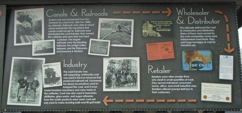
Canals & Railroads
Sorted coal was transported from the breakers by canal and, after the 1840s, by railroads. Railroads were able to reach mines tucked into the mountains that canals could not get to.
Wholesaler & Distributor
The railroads delivered the coal to wholesalers and distributors. Many of these were owned by the coal companies; some were independent merchants. They sold large tonnages of coal for industrial use.
Retailer
Retailers were often smaller firms who dealt in small quantities of coal. They served individual consumers' home, office, and small industrial uses. Retailers offered prompt delivery to their customers.
Industry
The coal industry was self-supporting: anthracite coal was used in the iron furnaces that produced railroad rail, it powered the steam locomotives used to transport the coal, and it even fueled breaker machinery and mine hoists at the collieries. Coal was also used in breweries, distilleries, glass works, and sugar refineries. Even the waste products were used: coal ash was used to make bowling balls and fill golf balls.
Erected by Lackawanna County.
Topics. This historical marker is listed in these topic lists: Industry & Commerce • Railroads & Streetcars
Location. 41° 25.031′ N, 75° 42.918′ W. Marker is in Scranton, Pennsylvania, in Lackawanna County. Marker is at the Lackawanna Coal Mine Tour loading area, in McDade Park. Touch for map. Marker is at or near this postal address: 1 Bald Mountain Road, Scranton PA 18504, United States of America. Touch for directions.
Other nearby markers. At least 8 other markers are within walking distance of this marker. The Slope 190 Story (here, next to this marker); Information About This Piece of Coal (a few steps from this marker); The Heritage of the Anthracite American (a few steps from this marker); A 13,000 lb. Black Diamond (a few steps from this marker); The Anthracite Coal Fields (a few steps from this marker); Franklin Colliery Coal Mine Car (within shouting distance of this marker); Dynamite Magazine & Cap House (within shouting distance of this marker); Mobile Fire Fighting Equipment (within shouting distance of this marker). Touch for a list and map of all markers in Scranton.
Also see . . .
1. History of the Pennsylvania Anthracite Region. (Submitted on March 13, 2020, by William Fischer, Jr. of Scranton, Pennsylvania.)
2. Coal Miner Records. (Submitted on March 13, 2020, by William Fischer, Jr. of Scranton, Pennsylvania.)
3. About the Anthracite Coal Mining Region of Northeastern Pennsylvania. (Submitted on March 13, 2020, by William Fischer, Jr. of Scranton, Pennsylvania.)
Credits. This page was last revised on March 13, 2020. It was originally submitted on March 13, 2020, by William Fischer, Jr. of Scranton, Pennsylvania. This page has been viewed 153 times since then and 12 times this year. Photos: 1, 2, 3, 4. submitted on March 13, 2020, by William Fischer, Jr. of Scranton, Pennsylvania.


