Lower Merion Township near Bala Cynwyd in Montgomery County, Pennsylvania — The American Northeast (Mid-Atlantic)
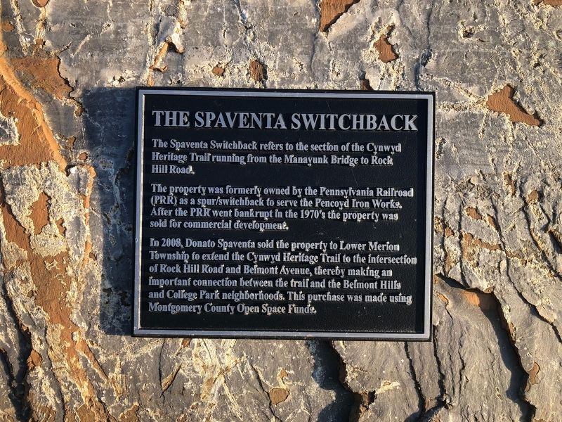
The Spaventa Switchback
The Spaventa Switchback refers to the section of the Cynwyd Heritage Trail running from the Manayunk Bridge to Rock Hill Road.
The property was formerly owned by the Pennsylvania Railroad (PRR) as a spur/switchback to serve the Pencoyd Iron Works. After the PRR went bankrupt in the 1970's the property was sold for commercial development.
In 2008, Donato Spaventa sold the property to Lower Merion Township to extend the Cynwyd Heritage Trail to the intersection of Rock Hill Road and Belmont Avenue, thereby making an important connection between the trail and the Belmont Hills and College Park neighborhoods. This purchase was made using Montgomery County Open Space Funds.
Erected by Lower Merion Township.
Topics and series. This historical marker is listed in these topic lists: Bridges & Viaducts • Industry & Commerce • Parks & Recreational Areas • Railroads & Streetcars. In addition, it is included in the Pennsylvania Railroad (PRR) series list. A significant historical year for this entry is 2008.
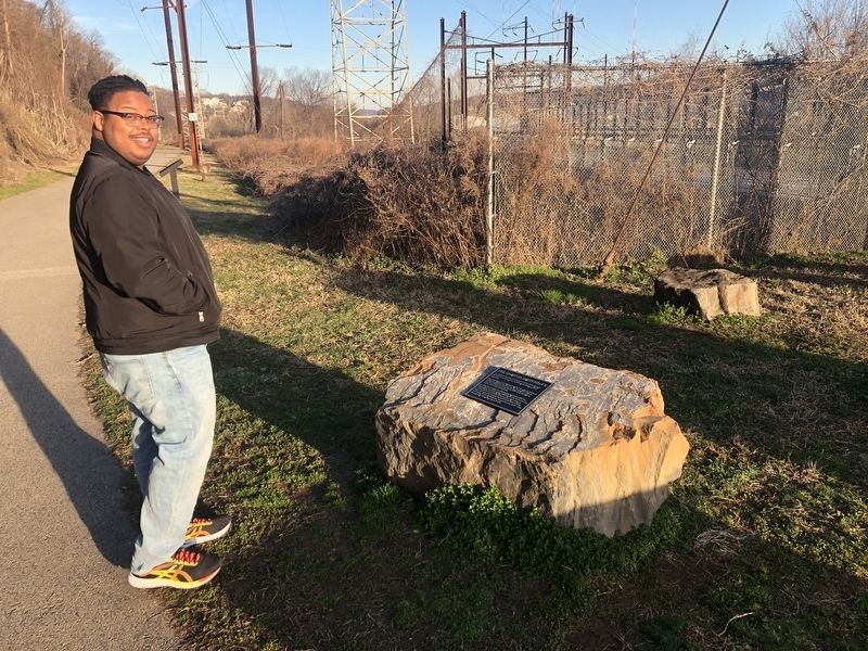
Location. 40° 1.377′ N, 75° 13.522′ W. Marker is near Bala Cynwyd, Pennsylvania, in Montgomery County. It is in Lower Merion Township. Marker is at the intersection of Cynwyd Heritage Trail and Manayunk Bridge Trail, on the right when traveling west on Cynwyd Heritage Trail. Touch for map. Marker is in this post office area: Bala Cynwyd PA 19004, United States of America. Touch for directions.
Other nearby markers. At least 8 other markers are within walking distance of this marker. The "S" Bridge & The Manayunk Bridge (a few steps from this marker); Transportation Corridor in Transition (within shouting distance of this marker); The Manayunk Skyline (about 500 feet away, measured in a direct line); Venice Island (approx. 0.2 miles away); Lower Venice Island Paper Mills (approx. 0.2 miles away); Sevill Schofield's Economy Mills (approx. 0.2 miles away); Pencoyd Iron Works (approx. 0.2 miles away); Switchback Bridge (approx. 0.2 miles away). Touch for a list and map of all markers in Bala Cynwyd.
Credits. This page was last revised on February 7, 2023. It was originally submitted on March 14, 2020, by Devry Becker Jones of Washington, District of Columbia. This page has been viewed 215 times since then and 17 times this year. Photos: 1, 2. submitted on March 14, 2020, by Devry Becker Jones of Washington, District of Columbia.

