Near Boulder in Garfield County, Utah — The American Mountains (Southwest)
Paving Boulder Mountain Road
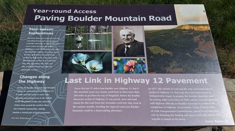
Year-round Access
Last Link in Highway 12 Pavement
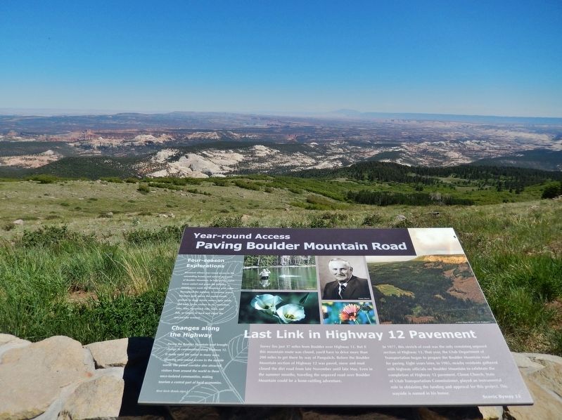
Torrey lies just 37 miles from Boulder over Highway 12. But if this mountain route was closed, you'd have to drive more than 200 miles to get there by way of Panguitch. Before the Boulder Mountain section of Highway 12 was paved, snow and mud closed the dirt road from late November until late May. Even in the summer months, traveling the unpaved road over Boulder Mountain could be a bone-rattling adventure.
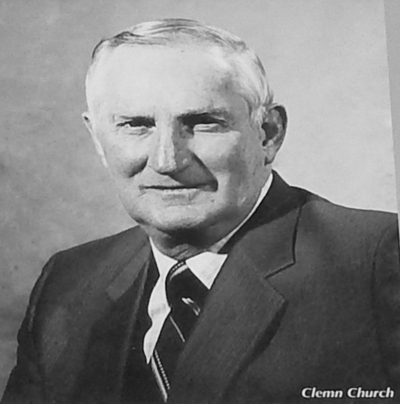
In 1977, this stretch of road was the only remaining unpaved section of Highway 12. That year, the Utah Department of Transportation began to prepare the Boulder Mountain road for paving. Eight years later, in 1985, nearby residents gathered with highway officials on Boulder Mountain to celebrate completion of Highway 12 pavement. Clemn Church, State of Utah Transportation Commissioner, played an instrumental role in obtaining the funding and approval for this project. This wayside is named in his honor.
Four-season Explorations
Pavement allows year-round access to the astounding beauty and natural resources of Boulder Mountain. In late spring, aspen leaves unfurl and green the hillsides. Wildflowers wash the meadows with color throughout the summer. In autumn, green becomes gold across the aspen stands, prelude to deep winter snows. Spur roads and trails invite visitors to ski, snowshoe, hike, bike, horseback ride, hunt, and fish, or simply sit back and enjoy the spectacular scenery.
Changes along the Highway
Paving the Boulder Mountain road brought change to communities along Highway 12. It made rural life easier in many ways, allowing year-round access to the outside world. The paved corridor also attracted visitors from around the world to these once-isolated communities, making tourism a central part of local economies.
Topics. This historical marker is listed in this topic list: Roads & Vehicles. A significant historical year for this entry is 1985.
Location. 38° 0.693′ N, 111° 21.524′ W. Marker is near Boulder, Utah, in Garfield County. Marker is on Point Lookout Road (Forest Road 1977) 0.2 miles south of Utah Route 12. Marker is located at the Homestead Overlook, near Utah Scenic Byway 12 milepost 98, about 10 miles northeast of Boulder. Touch for map. Marker is in this post office area: Boulder UT 84716, United States of America. Touch for directions.
Other nearby markers. At least 1 other marker is within walking distance of this marker. Across A Vast Horizon (here, next to this marker).
Credits. This page was last revised on March 16, 2020. It was originally submitted on March 15, 2020, by Cosmos Mariner of Cape Canaveral, Florida. This page has been viewed 213 times since then and 19 times this year. Photos: 1. submitted on March 15, 2020, by Cosmos Mariner of Cape Canaveral, Florida. 2. submitted on March 16, 2020, by Cosmos Mariner of Cape Canaveral, Florida. 3. submitted on March 15, 2020, by Cosmos Mariner of Cape Canaveral, Florida.


