Near Alma in Ross County, Ohio — The American Midwest (Great Lakes)
Ross County Underground Railroad / The Underground Railroad
— Historic Underground Railroad Site —
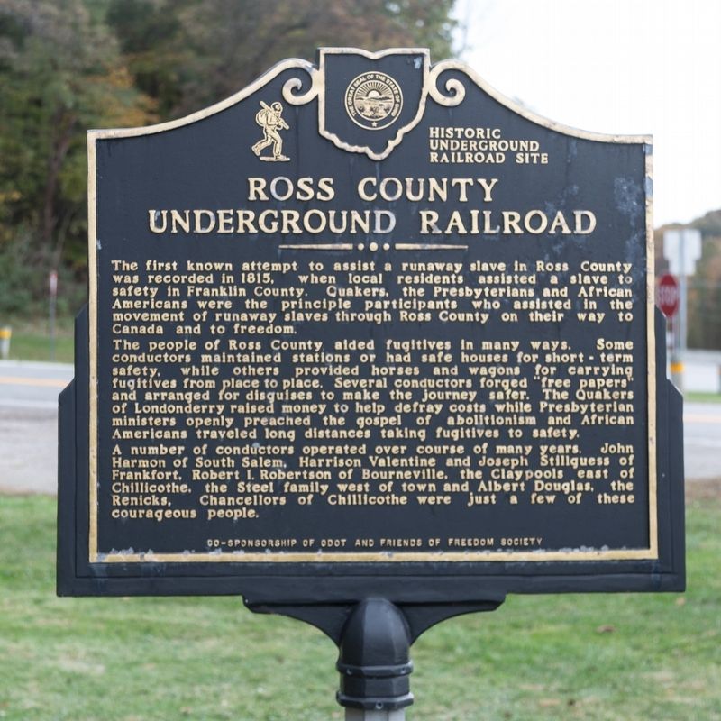
The people of Ross County aided fugitives in many ways. Some conductors maintained stations or had safe houses for short-term safety, while others provided horses and wagons for carrying fugitives from place to place. Several conductors forged “free papers” and arranged for disguises to make the journey safer. The Quakers of Londonderry raised money to help defray costs while Presbyterian ministers openly preached the gospel of abolitionism and African Americans traveled long distances taking fugitives to safety.
A number of conductors operated over course of many years. John Harmon of South Salem, Harrison Valentine and Joseph Stillguess of Frankfort, Robert I. Robertson of Bourneville, the Claypools east of Chillicothe, the Steel family_west of town and, Albert Douglas, the Renicks, Chancellors of Chillicothe were just a few of these courageous people.
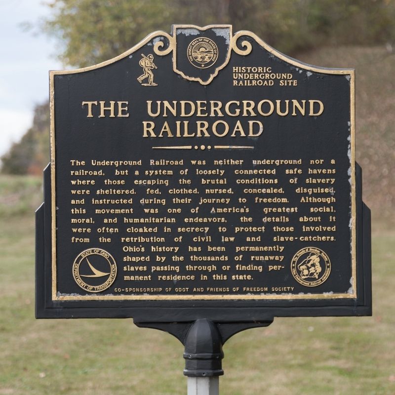
The Underground Railroad.The Underground Railroad was neither underground nor a railroad, but a system of loosely connected safe havens where those escaping the brutal conditions of slavery were sheltered, fed, clothed, nursed, concealed, disguised, and instructed during their journey to freedom. Although this movement was one of America’s greatest social, moral, and humanitarian endeavors, the details about it were often cloaked in secrecy to protect those involved from the retribution of civil law and slave-catchers. Ohio’s history has been permanently shaped by the thousands of runaway slaves passing through or finding permanent residence in this state.
Erected by a co-sponsorship of ODOT and Friends of Freedom Society.
Topics and series. This historical marker is listed in these topic lists: Abolition & Underground RR • African Americans. In addition, it is included in the Quakerism series list. A significant historical year for this entry is 1815.
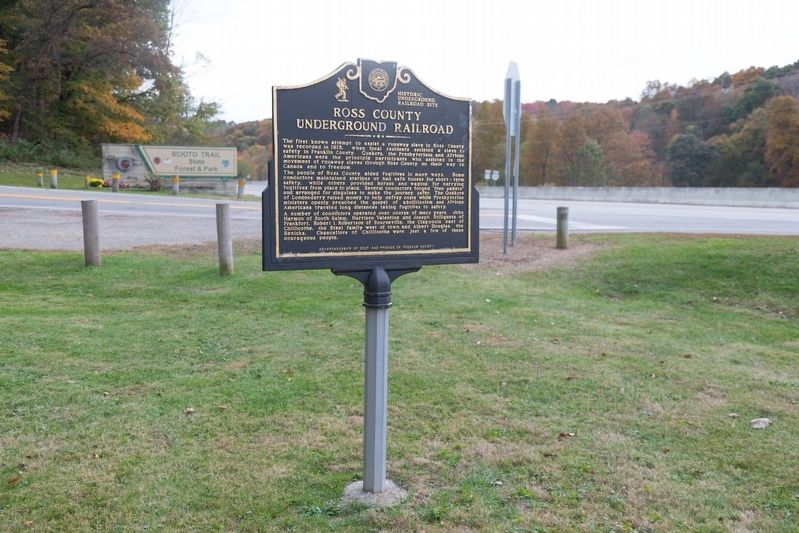
Location. 39° 12.903′ N, 82° 59.016′ W. Marker is near Alma, Ohio, in Ross County. Marker is at the intersection of Ohio Route 23 and Stoney Creek R0ad (Ohio Route 372), on the right when traveling north on State Route 23. It is at the entrance to the Scioto Trail State Forest and Park. Touch for map. Marker is at or near this postal address: 2679 US-23, Waverly OH 45690, United States of America. Touch for directions.
Other nearby markers. At least 8 other markers are within 7 miles of this marker, measured as the crow flies. Ohio and Erie Canal (approx. 5.6 miles away); Historic Emmitt House (approx. 6.1 miles away); War Savings Stamps (approx. 6.1 miles away); Pike County Courthouse (approx. 6.2 miles away); German Evangelical Church / Pike Heritage Foundation Museum (approx. 6.2 miles away); Canal Park (approx. 6.2 miles away); Eagles Veterans Memorial (approx. 6.2 miles away); Pike County Civil War Memorial (approx. 6.2 miles away).
Credits. This page was last revised on March 19, 2020. It was originally submitted on March 19, 2020, by J. J. Prats of Powell, Ohio. This page has been viewed 563 times since then and 55 times this year. Photos: 1, 2, 3. submitted on March 19, 2020, by J. J. Prats of Powell, Ohio.


