Rotterdam in Schenectady County, New York — The American Northeast (Mid-Atlantic)
Early Frontier
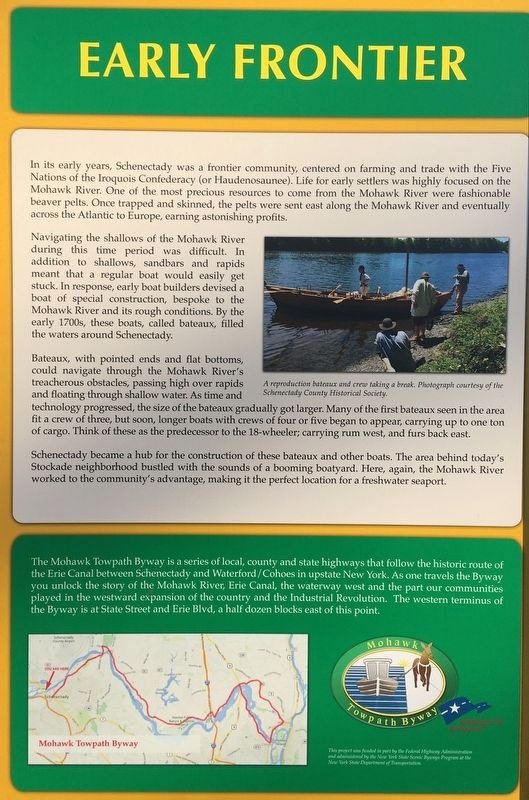
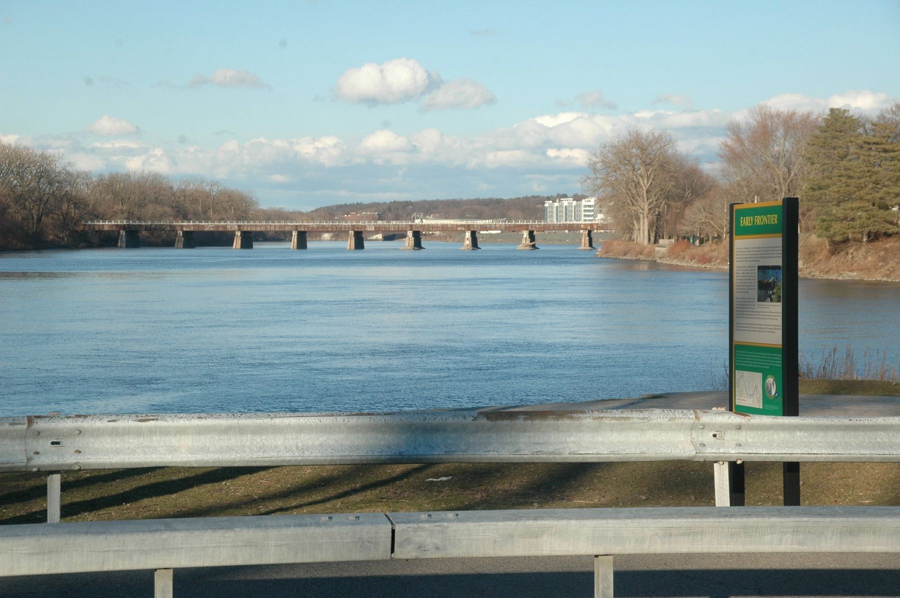
In its early years, Schenectady was a frontier community, centered on farming and trade with the Five Nations of the Iroquois Confederacy (or Haudenosaunee). Life for early settlers was highly focused on the Mohawk River. One of the most precious resources to come from the Mohawk River were fashionable beaver pelts. Once trapped and skinned, the pelts were sent east along the Mohawk River and eventually across the Atlantic to Europe, earning astonishing profits.
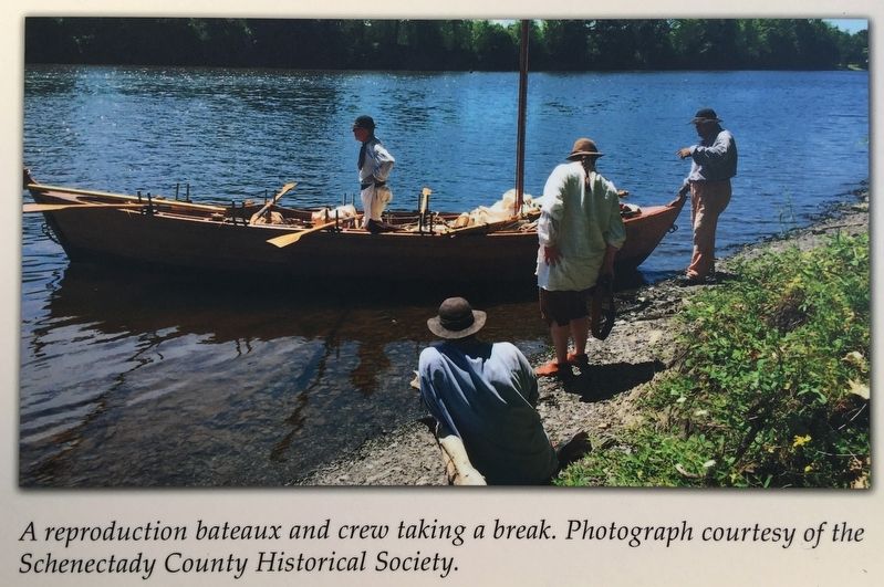
Navigating the shallows of the Mohawk River during this time period was difficult. In addition to shallows, sandbars and rapids meant that a regular boat would easily get stuck. In response, early boat builders devised a boat of special construction, bespoke to the Mohawk River and its rough conditions. By the early 1700s, these boats, called bateau, filled the waters around Schenectady.
Bateaux, with pointed ends and flat bottoms, could navigate through the Mohawk River's treacherous obstacles, passing high over rapids and floating through shallow water. As time and technology progressed, the size of the bateaux gradually got larger. Many of the first bateaux seen in the area fit a crew of three, but soon, longer boats with crews of four or five began to appear, carrying up to one ton of cargo. Think of these as the predecessor to the 18-wheeler; carrying rum west, and furs back east.
Schenectady became a hub for the construction of these bateaux and other boats. The area behind today's Stockade neighborhood bustled with the sounds of a booming boatyard. Here, again, the Mohawk River worked to the community's advantage, making it the perfect location for a freshwater seaport.
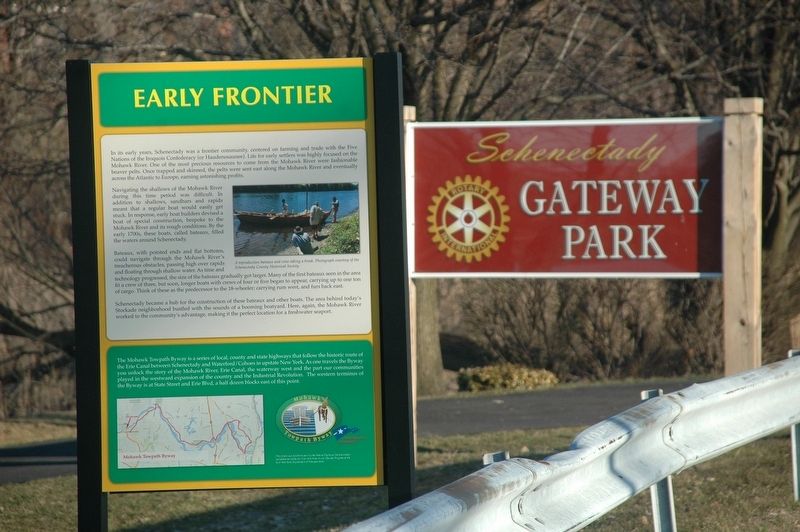
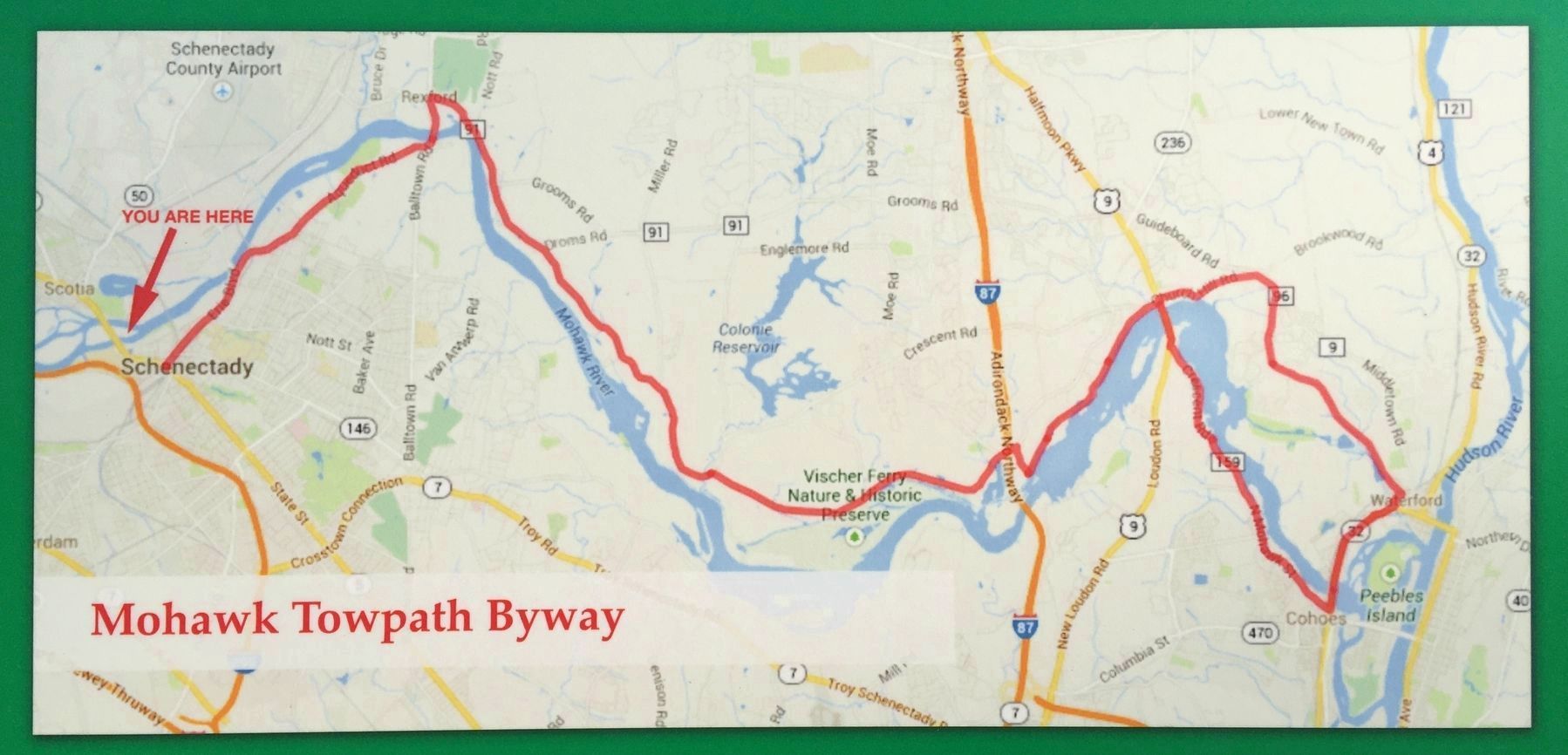
The Mohawk Towpath Byway is a series of local, county and state highways that follow the historic route of the Erie Canal between Schenectady and Waterford/Cohoes in upstate New York. As one travels the Byway you unlock the story of the Mohawk River, Erie Canal, the waterway west and the part our communities played in the westward expansion of the country and the Industrial Revolution. The western terminus of the Byway is at State Street and Erie Blvd, a half dozen blocks east of this point.
Erected 2019.
Topics. This historical marker is listed in these topic lists: Industry & Commerce • Settlements & Settlers • Waterways & Vessels.
Location. 42° 49.058′ N, 73° 57.132′ W. Marker is in Rotterdam, New York, in Schenectady County. Touch for map. Marker is in this post office area: Schenectady NY 12306, United States of America. Touch for directions.
Other nearby markers. At least 8 other markers are within walking distance of this marker. Schenectady (here, next to this marker); George S. Haswell III (within shouting distance of this marker); Gateway Landing (within shouting distance of this marker); Circa 1824 (approx. 0.2 miles away); Home of Aaron Dickinson (approx. 0.2 miles away); ca 1786 (approx. 0.2 miles away); 1832-1838 (approx. 0.2 miles away); Robert Sanders House 1750 (approx. 0.2 miles away). Touch for a list and map of all markers in Rotterdam.
More about this marker. The Early Frontier marker, "kiosk," was funded in part by the Federal Highway Administration and administered by the New York State Scenic Byways Program at the New York State Department of Transportation. A local match for this funding was provided by the coalition of municipalities along the Byway corridor including Waterford, Cohoes, Halfmoon, Colonie, Clifton Park, Niskayuna and Schenectady. Content for the interpretive message was a joint effort by the Stockade Association, Schenectady County Historical Society, miSci, and Friends of the Mohawk Towpath Scenic Byway. Schenectady County Department of Public Works installed the marker during the summer of 2018.
Credits. This page was last revised on March 22, 2020. It was originally submitted on March 19, 2020, by Howard C. Ohlhous of Duanesburg, New York. This page has been viewed 167 times since then and 17 times this year. Photos: 1, 2, 3, 4, 5. submitted on March 19, 2020, by Howard C. Ohlhous of Duanesburg, New York. • Michael Herrick was the editor who published this page.
