Northeast Los Angeles in Los Angeles County, California — The American West (Pacific Coastal)
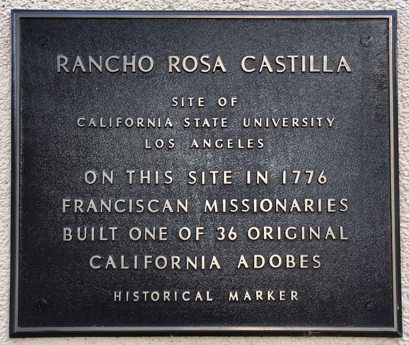
Rancho Rosa Castilla
Site of California State University Los Angeles
— Historical Marker —
On this site in 1776 Franciscan missionaries built one of 36 original California adobes.
Erected by California State University Los Angeles.
Topics. This historical marker is listed in these topic lists: Agriculture • Churches & Religion • Hispanic Americans • Settlements & Settlers. A significant historical year for this entry is 1776.
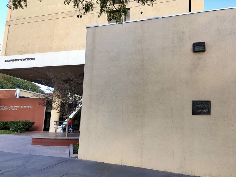
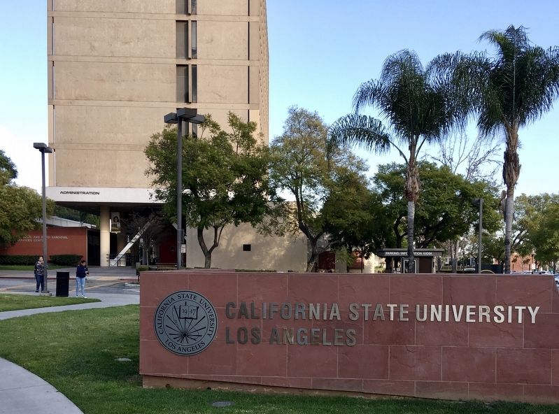
Location. 34° 3.994′ N, 118° 10.161′ W. Marker is in Los Angeles, California, in Los Angeles County. It is in Northeast Los Angeles. Marker is on Paseo Rancho Castilla, half a mile east of Eastern Avenue, on the right when traveling east. The marker is on the former Administration Building at California State University Los Angeles. Touch for map. Marker is at or near this postal address: 1986 Paseo Rancho Castilla, Los Angeles CA 90032, United States of America. Touch for directions.
Other nearby markers. At least 8 other markers are within 2 miles of this marker, measured as the crow flies. The 1968 Chicano Student Walkouts (approx. 1.1 miles away); Old Farmdale School (approx. 1.1 miles away); Ascot History (approx. 1.2 miles away); Ascot Reservoir: 1910 - present (approx. 1.2 miles away); El Sereno (approx. 1.2 miles away); Soto Street Tunnel (approx. 1.6 miles away); Soto Street Bridge Removal (approx. 1.6 miles away); Heritage Park Cascades (approx. 2 miles away). Touch for a list and map of all markers in Los Angeles.
Regarding Rancho Rosa Castilla.
During the 1770s, Franciscan missionaries settled on a green hillside that is now the home of Cal State L.A.
During the 1850s, Basque rancher Juan Bautista Batz acquired the area through a Spanish land grant and named it Rancho Rosa Castilla for the wild roses growing near the ranch house.
Credits. This page was last revised on October 28, 2023. It was originally submitted on February 14, 2020, by Craig Baker of Sylmar, California. This page has been viewed 612 times since then and 91 times this year. Last updated on March 19, 2020, by Craig Baker of Sylmar, California. Photos: 1, 2, 3. submitted on February 14, 2020, by Craig Baker of Sylmar, California. • J. Makali Bruton was the editor who published this page.


