Brockville in Leeds and Grenville United Counties, Ontario — Central Canada (North America)
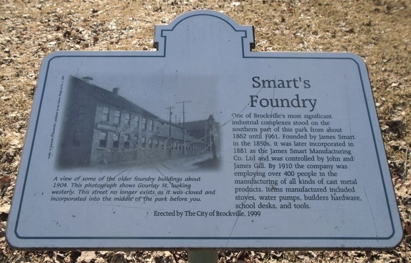
Smart's Foundry
Photographed by William Fischer, Jr., March 14, 2020
1. Smart's Foundry Marker
[Photo caption reads]
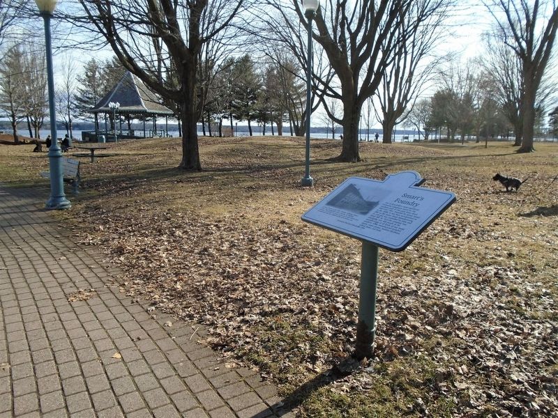
A view of some of the older foundry buildings about 1904. This photograph shows Gourlay St. looking westerly. This street no longer exists as it was closed and incorporated into the middle of the park before you.
Erected 1999 by City of Brockville.
Topics. This historical marker is listed in this topic list: Industry & Commerce. A significant historical year for this entry is 1862.
Location. 44° 35.18′ N, 75° 41.068′ W. Marker is in Brockville, Ontario, in Leeds and Grenville United Counties. It is on Home Street just south of Ernie Fox Quay, on the right when traveling south. Marker is at the end of Home Street, along the Brock
this page online

Regionally, this marker is in Eastern Ontario and specifically in Southeastern Ontario. It is also in Central Canada. Globally, it is in North America, the Western Hemisphere, the Western World, and the Anglosphere. Historically, it finds itself in what was once a British colony, the Viceroyalty of New France, the Haudenosaunee (Iroquois) Confederacy, and Rupert’s Land.
Other nearby markers. At least 8 other markers are within walking distance of this marker: William Buell’s 1816 Map of Brockville (a few steps from this marker); Forsyth’s Raid 1813 (about 90 meters away, measured in a direct line); a different marker also named Smart's Foundry (about 90 meters away); William Buell House (about 120 meters away); Centennial of Confederation (about 120 meters away); James Smart Manufacturing Co. Ltd. (about 120 meters away); Women's Memorial (about 120 meters away); William Buell, Sr. 1751 - 1832 (about 120 meters away). Touch for a list and map of all markers in Brockville.
Also see . . .
1. James Smart Manufacturing Co. Ltd History.
Photographed by William Fischer, Jr., March 14, 2020
2. Smart's Foundry Marker at Hardy Park
2. A Brief History of Brockville. (Submitted on March 21, 2020, by William Fischer, Jr. of Reynoldsburg, Ohio.)
Photographed by William Fischer, Jr., March 14, 2020
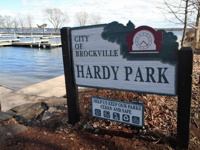
3. Hardy Park Sign Near Marker
Credits. This page was last revised on May 11, 2025. It was originally submitted on March 21, 2020, by William Fischer, Jr. of Reynoldsburg, Ohio. This page has been viewed 1,890 times since then and 154 times this year. Photos: 1, 2, 3. submitted on March 21, 2020, by William Fischer, Jr. of Reynoldsburg, Ohio.
