Montgomery in Montgomery County, Alabama — The American South (East South Central)
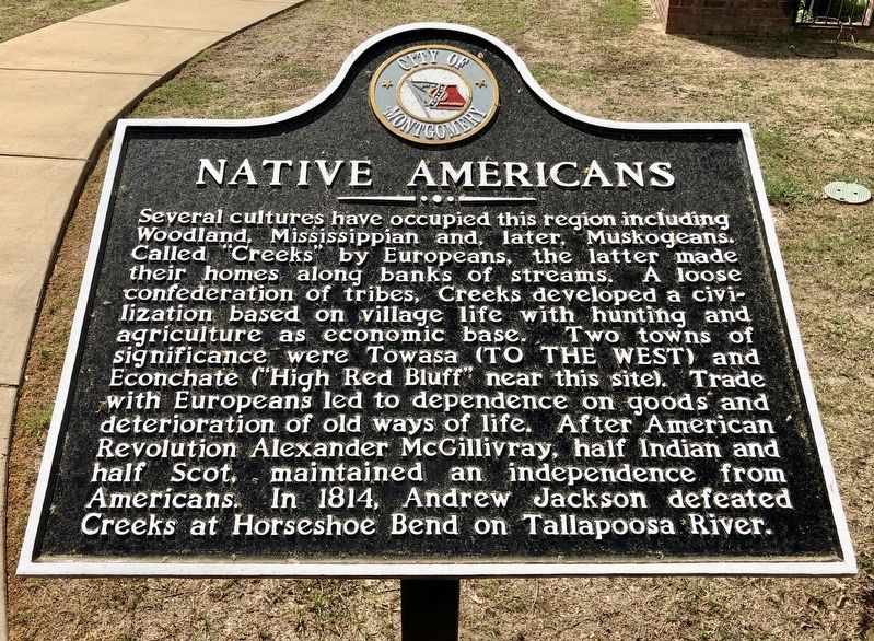
Native Americans
Erected by the City of Montgomery.
Topics and series. This historical marker is listed in this topic list: Native Americans. In addition, it is included in the Former U.S. Presidents: #07 Andrew Jackson series list. A significant historical year for this entry is 1814.
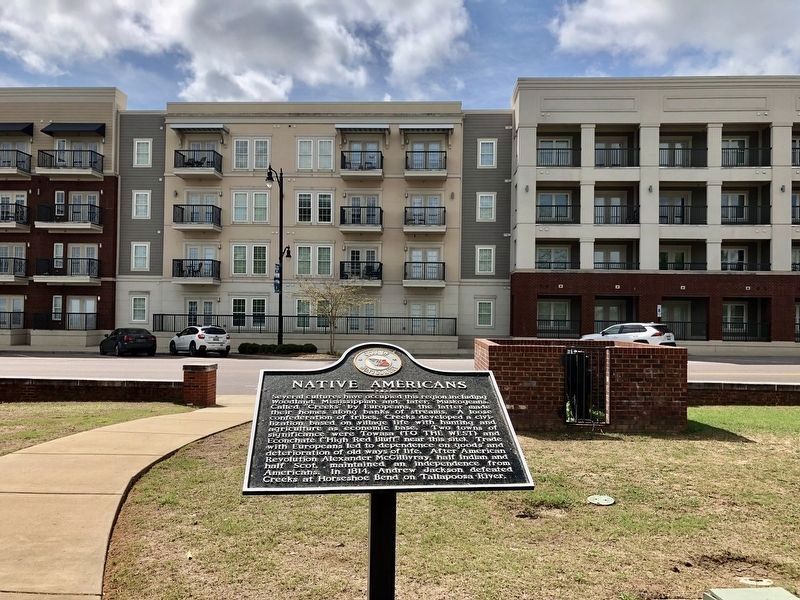
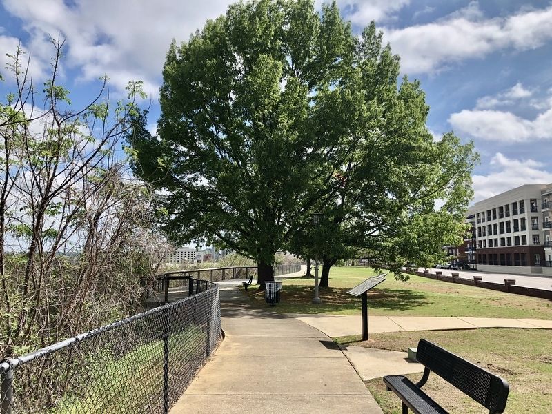
Location. 32° 22.669′ N, 86° 19.174′ W. Marker is in Montgomery, Alabama, in Montgomery County. Marker is on Maxwell Boulevard east of North Holt Street, on the right when traveling west. Located in Wright Brother's Park. Touch for map. Marker is at or near this postal address: 544 Maxwell Boulevard, Montgomery AL 36104, United States of America. Touch for directions.
Other nearby markers. At least 8 other markers are within walking distance of this marker. Maxwell Air Force Base/Air University (within shouting distance of this marker); The Wright Brothers Flying School (about 300 feet away, measured in a direct line); Maxwell Air Force Base and the Air University (about 300 feet away); Unforgettable (approx. 0.2 miles away); Clay Street Missionary Baptist Church (approx. 0.3 miles away); Alabama River: The Grand Avenue (approx. 0.3 miles away); Return from the Argonne (approx. 0.4 miles away); Europeans Along the Alabama River (approx. 0.4 miles away). Touch for a list and map of all markers in Montgomery.
Related marker. Click here for another marker that is related to this marker.
Also see . . . Wikipedia article on Alexander McGillivray. (Submitted on March 21, 2020, by Mark Hilton of Montgomery, Alabama.)
Credits. This page was last revised on March 21, 2020. It was originally submitted on March 21, 2020, by Mark Hilton of Montgomery, Alabama. This page has been viewed 319 times since then and 48 times this year. Photos: 1, 2, 3. submitted on March 21, 2020, by Mark Hilton of Montgomery, Alabama.


