Canastota in Madison County, New York — The American Northeast (Mid-Atlantic)
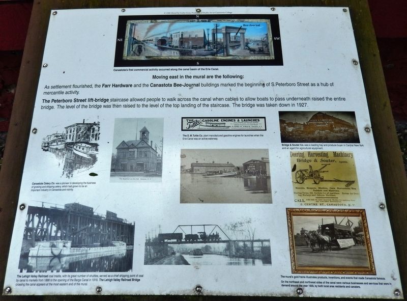
Canastota's First Commercial Activity Occurred Along the Canal Basin of the Erie Canal
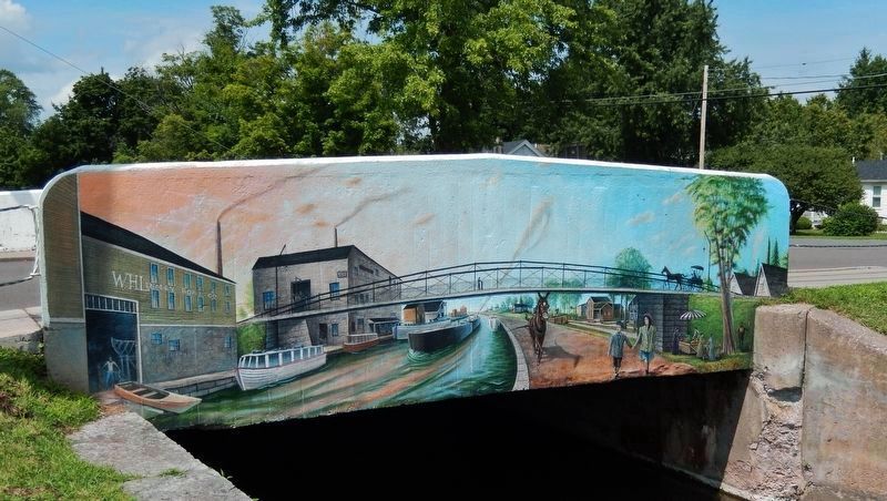
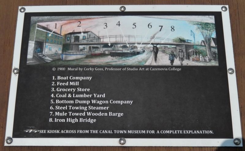
Moving east in the mural are the following:
As settlement flourished, the Farr Hardware and the Canastota Bee-Journal buildings marked the beginning of S.Peterboro Street as a hub of mercantile activity.
The Peterboro Street lift-bridge staircase allowed people to walk across the canal when cables to allow boats to pass underneath raised the entire bridge. The level of the bridge was then raised to the level of the top landing of the staircase. The bridge was taken down in 1927.
Topics. This historical marker is listed in these topic lists: Bridges & Viaducts • Industry & Commerce • Waterways & Vessels. A significant historical year for this entry is 1900.
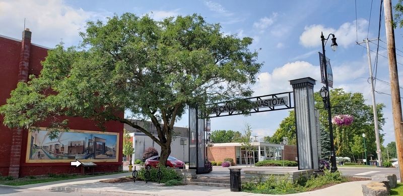
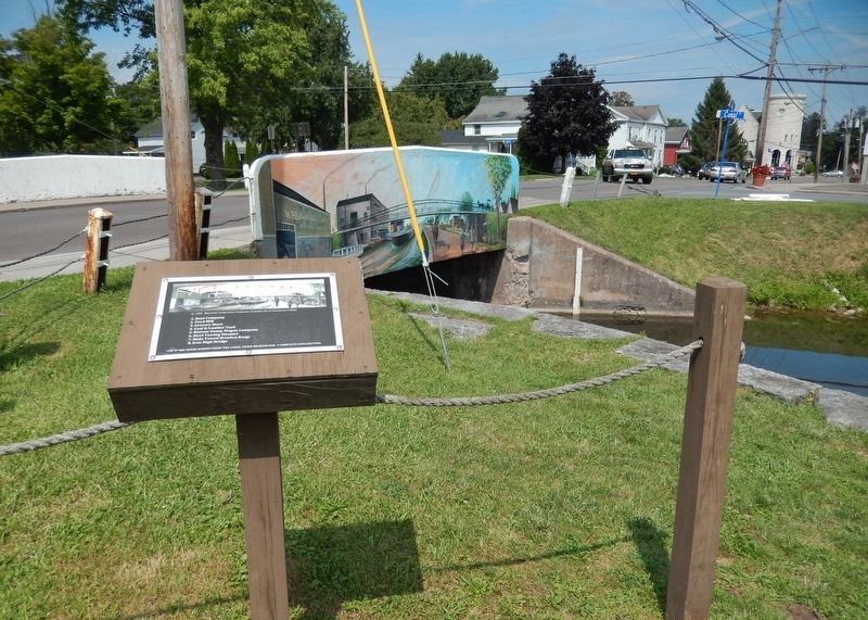
Location. 43° 4.751′ N, 75° 45.063′ W. Marker is in Canastota, New York, in Madison County. Marker is on South Peterboro Street (New York State Route 13) just south of Canal Street (County Highway 76), on the right when traveling north. Marker and mural are mounted on the north side of the building at this address, facing Canal Street. Touch for map. Marker is at or near this postal address: 102 South Peterboro Street, Canastota NY 13032, United States of America. Touch for directions.
Other nearby markers. At least 8 other markers are within walking distance of this marker. Industrial Growth / Canalway Trail (a few steps from this marker); Reuben Perkins (within shouting distance of this marker); Canastota's Lift Bridge (within shouting distance of this marker); Peterboro Street Lift Bridge (within shouting distance of this marker); Canal Street (within shouting distance of this marker); Canal Town (within shouting distance of this marker); Bruce Opera House (within shouting distance of this marker); Canastota's Basin (about 300 feet away, measured in a direct line). Touch for a list and map of all markers in Canastota.
Also see . . . Canastota Village. The canal had a tremendous impact on the development of Canastota. Canastota emerged as an important commercial center providing lodging, goods and services first for the canal planners and surveyors in the early- to mid-1810s, then to the construction workers in the mid- to late 1810s and finally to the canal travelers and workers in the 1820s and subsequent decades. (Submitted on March 23, 2020, by Cosmos Mariner of Cape Canaveral, Florida.)
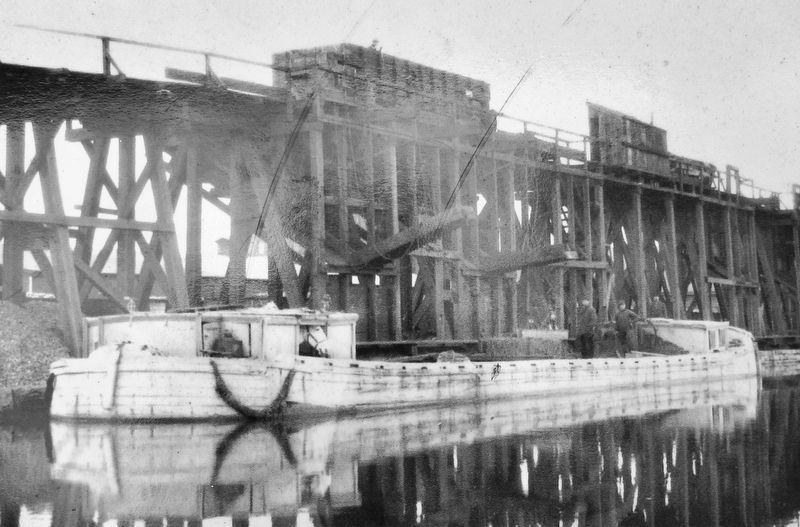
3. Marker detail: The Lehigh Valley Railroad Coal Trestle
The Lehigh Valley Railroad Bridge crossing the canal appears at the most eastern end of the mural.
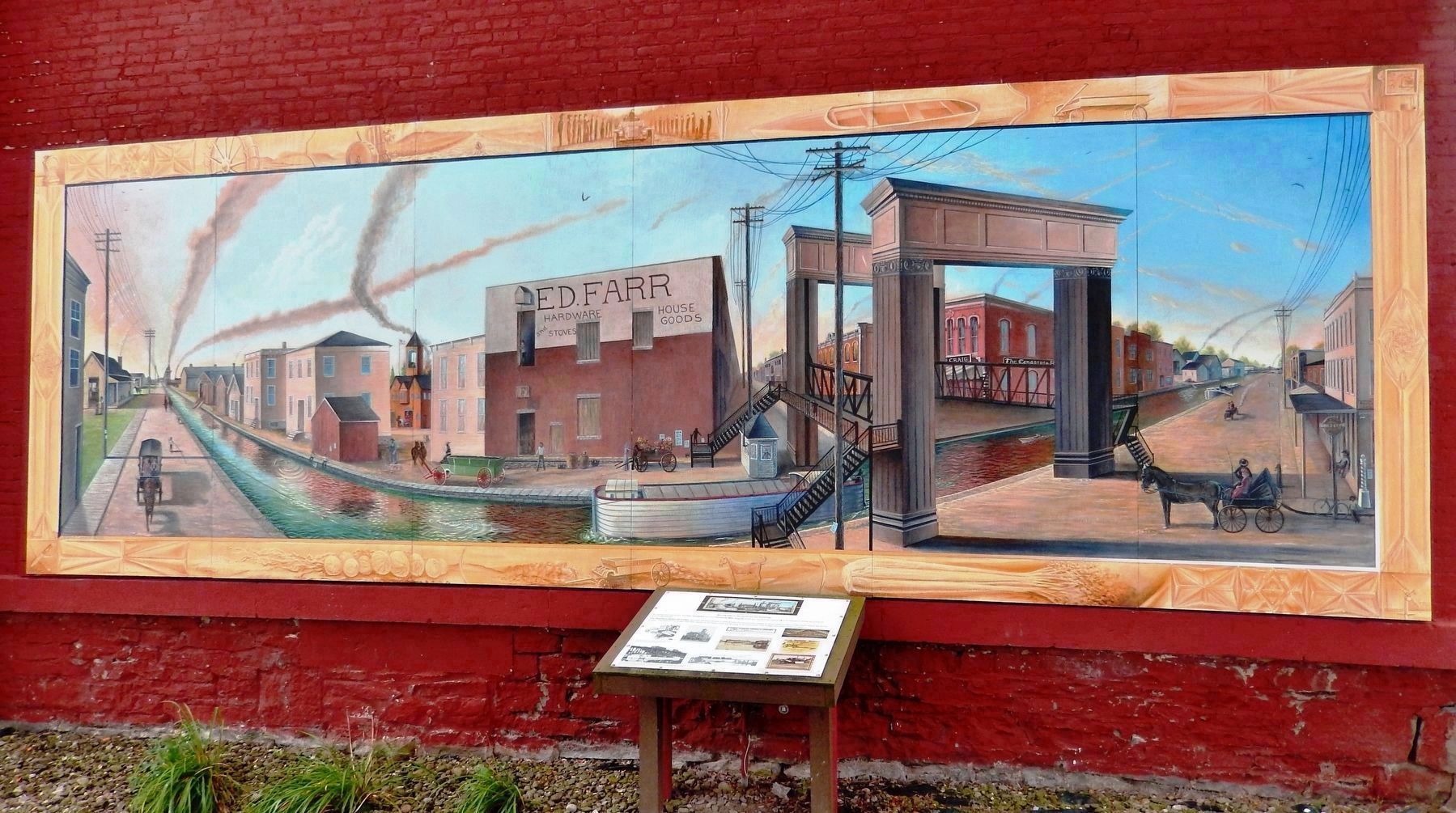
1900 Mural by Corky Goss, Professor of Studio Art at Cazenovia College
6. Canastota's First Commercial Activity Marker & Mural
On the northeast and northwest sides of the canal were various businesses and services that were in demand around the year 1900, by both local area residents and canalers.
Credits. This page was last revised on March 23, 2020. It was originally submitted on March 21, 2020, by Cosmos Mariner of Cape Canaveral, Florida. This page has been viewed 218 times since then and 28 times this year. Photos: 1, 2, 3, 4, 5, 6. submitted on March 22, 2020, by Cosmos Mariner of Cape Canaveral, Florida. 7, 8, 9, 10. submitted on March 23, 2020, by Cosmos Mariner of Cape Canaveral, Florida.
