Canastota in Madison County, New York — The American Northeast (Mid-Atlantic)
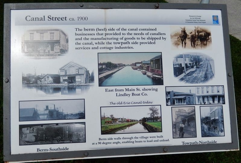
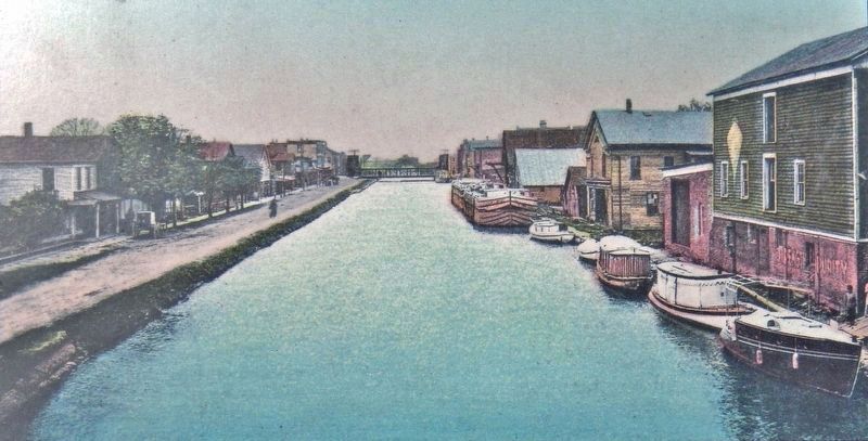
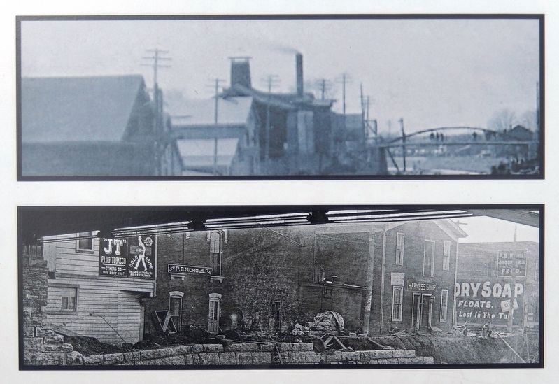
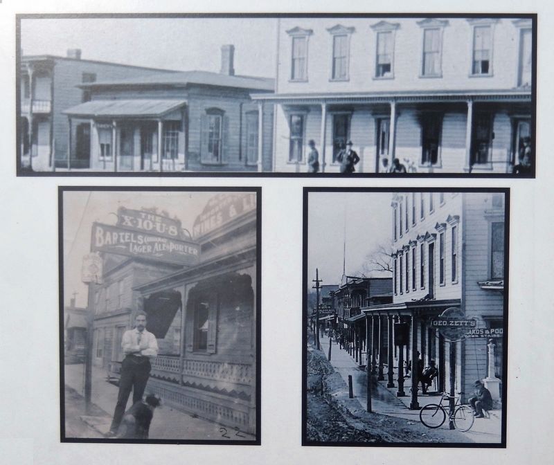
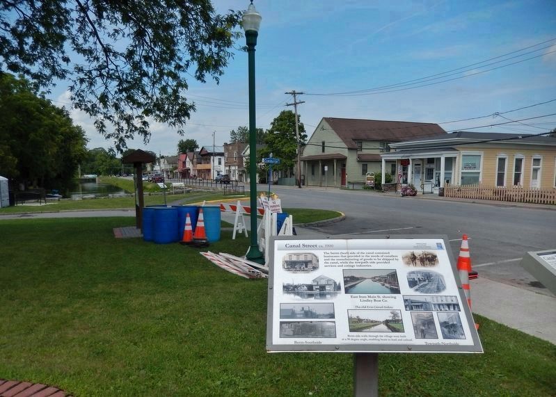
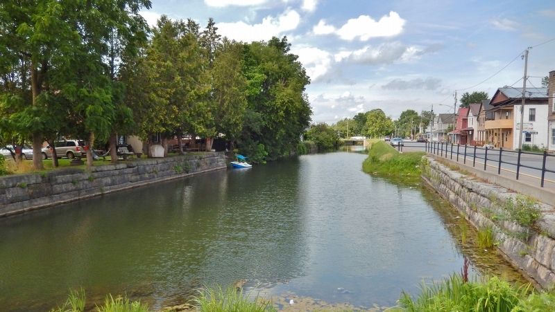
Canal Street
ca. 1900
Canastota Canal Town Museum
A Canastota Rotary Club Project
Erected by Canastota Rotary Club.
Topics and series. This historical marker is listed in these topic lists: Industry & Commerce • Waterways & Vessels. In addition, it is included in the Rotary International series list. A significant historical year for this entry is 1900.
Location. 43° 4.759′ N, 75° 45.1′ W. Marker is in Canastota, New York, in Madison County. Marker is on Canal Street (County Route 76) west of South Peterboro Street (New York State Route 13), on the left when traveling west. Marker is located in an interpretive plaza on the south side of the street. Touch for map. Marker is in this post office area: Canastota NY 13032, United States of America. Touch for directions.
Other nearby markers. At least 8 other markers are within walking distance of this marker. Canal Town (here, next to this marker); Canastota's Lift Bridge (here, next to this marker); Peterboro Street Lift Bridge (here, next to this marker); Reuben Perkins (a few steps from this marker); Canastota's Basin (within shouting distance of this marker); Enlarging the Erie Canal (within shouting distance of this marker); Industrial Growth / Canalway Trail (within shouting distance of this marker); Canastota's First Commercial Activity Occurred Along the Canal Basin of the Erie Canal (within shouting distance of this marker). Touch for a list and map of all markers in Canastota.
Also see . . . Canal Town Museum - National Archives. National Register of Historic Places documentation (Submitted on March 20, 2024, by Anton Schwarzmueller of Wilson, New York.)
Credits. This page was last revised on March 20, 2024. It was originally submitted on March 21, 2020, by Cosmos Mariner of Cape Canaveral, Florida. This page has been viewed 134 times since then and 18 times this year. Photos: 1, 2, 3, 4, 5, 6. submitted on March 23, 2020, by Cosmos Mariner of Cape Canaveral, Florida.
