Overland in St. Louis County, Missouri — The American Midwest (Upper Plains)
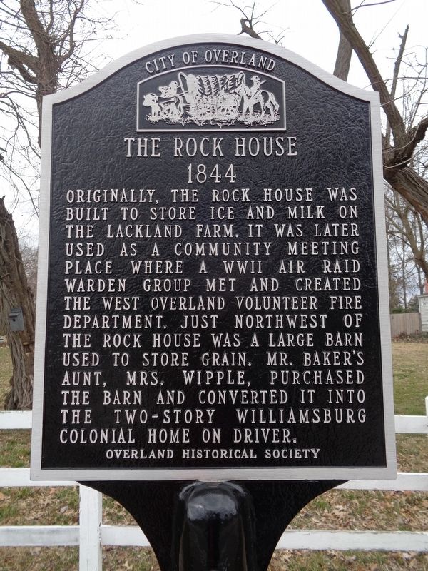
The Rock House
1844
— City of Overland —
Erected by Overland Historical Society.
Topics and series. This historical marker is listed in these topic lists: Agriculture • Charity & Public Work • War, World II • Women. In addition, it is included in the Missouri, Overland Historical Society series list. A significant historical year for this entry is 1844.
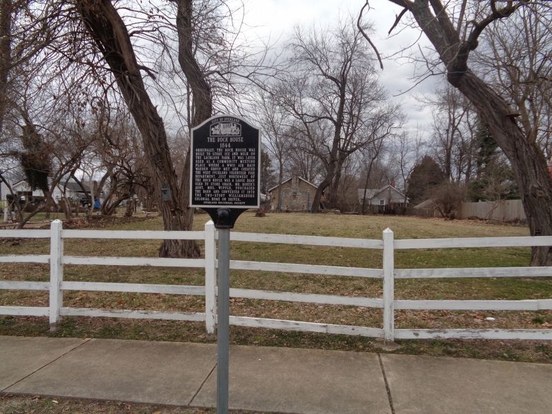
Location. 38° 41.804′ N, 90° 23.372′ W. Marker is in Overland, Missouri, in St. Louis County. Marker is at the intersection of Lackland Road and Lake Avenue, on the right when traveling west on Lackland Road. Touch for map. Marker is at or near this postal address: 10417 Lackland Rd, Saint Louis MO 63114, United States of America. Touch for directions.
Other nearby markers. At least 8 other markers are within walking distance of this marker. Lackland / Baker Mansion (within shouting distance of this marker); Halsey C. Ives Mansion (approx. ¼ mile away); Wildwood Estate (approx. 0.4 miles away); Creve Coeur Lake Streetcar (approx. half a mile away); Site of Appel House (approx. 0.6 miles away); Site of Lackland Avenue School (approx. 0.7 miles away); Gocke House (approx. ¾ mile away); William Campbell House (approx. 0.8 miles away). Touch for a list and map of all markers in Overland.
Credits. This page was last revised on November 7, 2020. It was originally submitted on March 23, 2020, by Jason Voigt of Glen Carbon, Illinois. This page has been viewed 562 times since then and 37 times this year. Photos: 1, 2. submitted on March 23, 2020, by Jason Voigt of Glen Carbon, Illinois. • Devry Becker Jones was the editor who published this page.

