Gateway Acres in Nashville in Davidson County, Tennessee — The American South (East South Central)
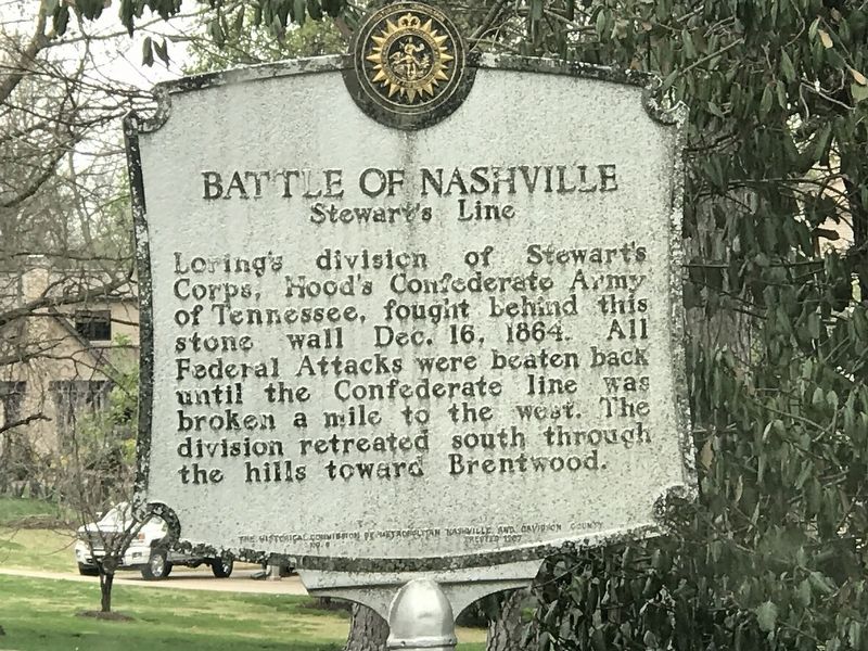
Battle of Nashville
Stewart's Line
Erected 1967 by The Historical Commission of Metropolitan Nashville and Davidson County. (Marker Number 9.)
Topics and series. This historical marker is listed in this topic list: War, US Civil. In addition, it is included in the Tennessee, The Historical Commission of Metropolitan Nashville and Davidson County series list. A significant historical date for this entry is December 16, 1864.
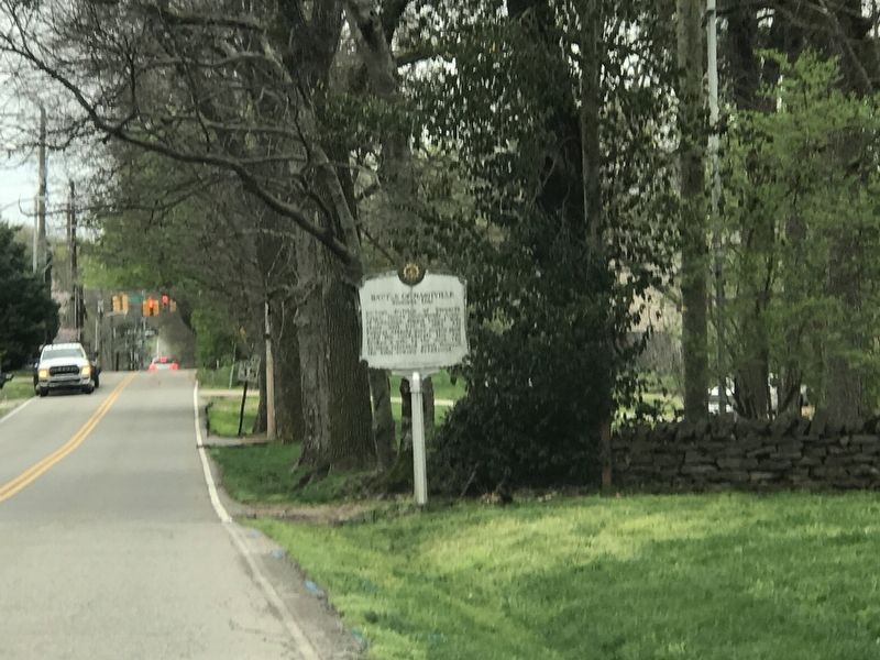
Location. Marker has been reported missing. It was located near 36° 5.178′ N, 86° 47.47′ W. Marker was in Nashville, Tennessee, in Davidson County. It was in Gateway Acres. Marker was on Lealand Lane north of Stonewall Drive, on the right when traveling north. Touch for map. Marker was at or near this postal address: 4613 Lealand Lane, Nashville TN 37220, United States of America. Touch for directions.
Other nearby markers. At least 8 other markers are within walking distance of this location. Monroe Harding (approx. 0.6 miles away); Josephine Groves Holloway / Girl Scouts of Middle Tennessee (approx. 0.7 miles away); a different marker also named Battle of Nashville (approx. 0.7 miles away); Glendale Park (approx. 0.7 miles away); a different marker also named Battle of Nashville (approx. 0.7 miles away); Dry-Stack Stone Walls (approx. ¾ mile away); John Trotwood Moore (approx. 0.8 miles away); Robertson Academy (approx. 0.9 miles away). Touch for a list and map of all markers in Nashville.
Credits. This page was last revised on December 1, 2023. It was originally submitted on March 23, 2020, by Duane and Tracy Marsteller of Murfreesboro, Tennessee. This page has been viewed 363 times since then and 23 times this year. Last updated on November 28, 2023, by Adam Thomas of Nashville, Tennessee. Photos: 1, 2. submitted on March 23, 2020, by Duane and Tracy Marsteller of Murfreesboro, Tennessee. • Bernard Fisher was the editor who published this page.

