Near Middleburg in Loudoun County, Virginia — The American South (Mid-Atlantic)
Battle of Middleburg
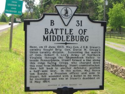
Photographed by Craig Swain, June 22, 2007
1. Battle of Middleburg Marker
Erected 1997 by Department of Historic Resources. (Marker Number B-31.)
Topics and series. This historical marker is listed in this topic list: War, US Civil. In addition, it is included in the Virginia Department of Historic Resources (DHR) series list. A significant historical date for this entry is May 12, 1864.
Location. 38° 58.098′ N, 77° 46.049′ W. Marker is near Middleburg, Virginia, in Loudoun County. It is on John S. Mosby Highway (U.S. 50), on the right when traveling east. As seen in the pictures, this marker is actually a few
this page online

Regionally, this marker is in the Washington Metropolitan Area and in Northern Virginia. It is also in the American South, specifically in the Upper South, and in the Mid-Atlantic. Globally, it is in North America, the Western Hemisphere, the Western World, and the Anglosphere. Historically, it finds itself in what was once the territory of the Mississippian Culture, one of the original Thirteen Colonies, one of the Confederate States of America, and the Antebellum South.
Other nearby markers. At least 8 other markers are within walking distance of this marker: The Battle Concludes: Buford's Flanking Movement & Stuart's Withdrawal (approx. 0.2 miles away); Mount Defiance (approx. ¼ mile away); 1st Maine Cavalry Monument (approx. ¼ mile away); The Prussian Warrior Heros Von Borcke Goes Down (approx. ¼ mile away); a different marker also named Mount Defiance (approx. ¼ mile away); Mt. Defiance, the Turnpike, and Middleburg
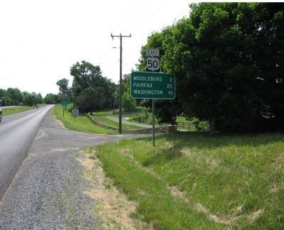
Photographed by Craig Swain, June 22, 2007
2. Battle of Middleburg Marker
Along the ridge in the background Stuarts first lines deployed at the start of the battle. The marker is in along the highway, just in front of the sign indicating the county line.
Regarding Battle of Middleburg. This marker replaces a previous B-31 titled "Stuart and Gregg" which read simply, "Near here the Union Cavalry General Gregg attacked Stuart and forced him to retire, June 19, 1863." The older B-31 stood near the intersection of the John S. Mosby Highway (US 50) and Willisville Road (County Rt. 623).
Related markers. Click here for a list of markers that are related to this marker. Battle of Middleburg
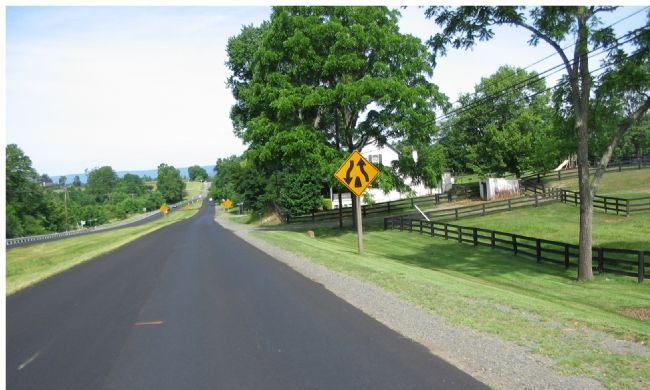
Photographed by Craig Swain, June 22, 2007
3. Stuart's Retreat
Looking to the West, Stuart fell back down Ashby's Gap Road, modern day John S. Mosby Highway (US 50) to positions on the ridge line in the distance.
Credits. This page was last revised on June 16, 2016. It was originally submitted on June 29, 2007, by Craig Swain of Leesburg, Virginia. This page has been viewed 4,711 times since then and 68 times this year. Photos: 1, 2, 3. submitted on June 29, 2007, by Craig Swain of Leesburg, Virginia. • J. J. Prats was the editor who published this page.
