Mount Tremper in Ulster County, New York — The American Northeast (Mid-Atlantic)
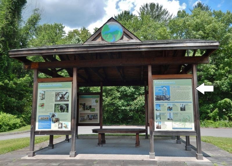
Firetowers
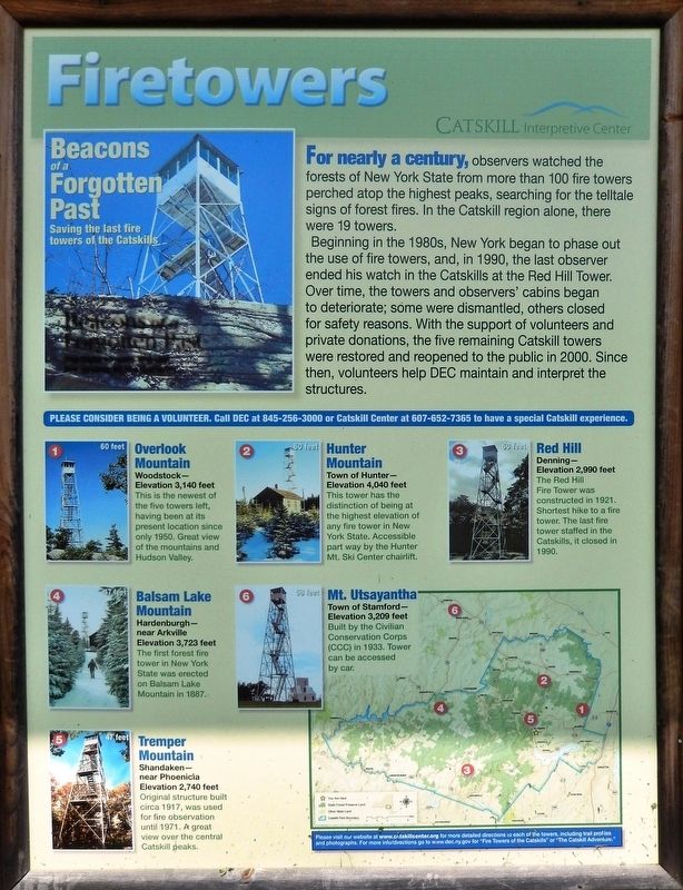
Beacons of a Forgotten Past
— Saving the last fire towers of the Catskills —
Beginning in the 1980s, New York began to phase out the use of fire towers, and, in 1990, the last observer ended his watch in the Catskills at the Red Hill Tower. Over time, the towers and observers' cabins began to deteriorate; some were dismantled, others closed for safety reasons. With the support of volunteers and private donations, the five remaining Catskill towers were restored and reopened to the public in 2000. Since then, volunteers help DEC maintain and interpret the structures.
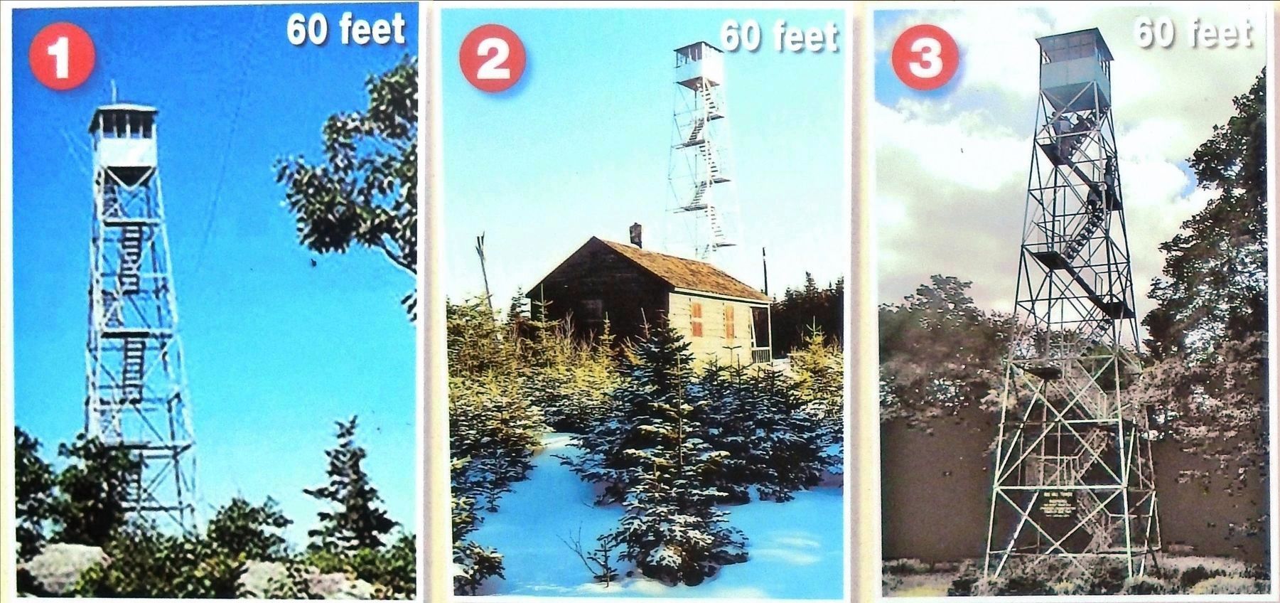
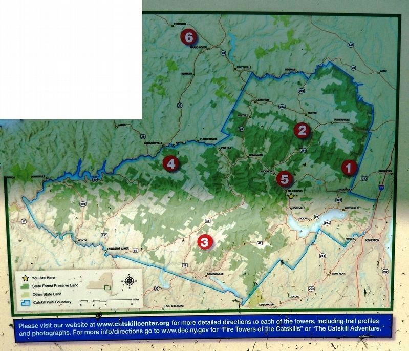
1 • Overlook Mountain (60 feet)
Woodstock —
Elevation 3,140 feet
This is the newest of the five towers left, having been at its present location since only 1950. Great view of the mountains and Hudson Valley.
2 • Hunter Mountain (60 feet)
Town of Hunter —
Elevation 4,040 feet
This tower has the distinction of being at the highest elevation of any fire tower in New York State. Accessible part way by the Hunter Mt. Ski Center chairlift.
3 • Red Hill (60 feet)
Denning —
Elevation 2,990 feet
The Red Hill Fire Tower was constructed in 1921. Shortest hike to a fire tower. The last fire tower staffed in the Catskills, it closed in 1990.
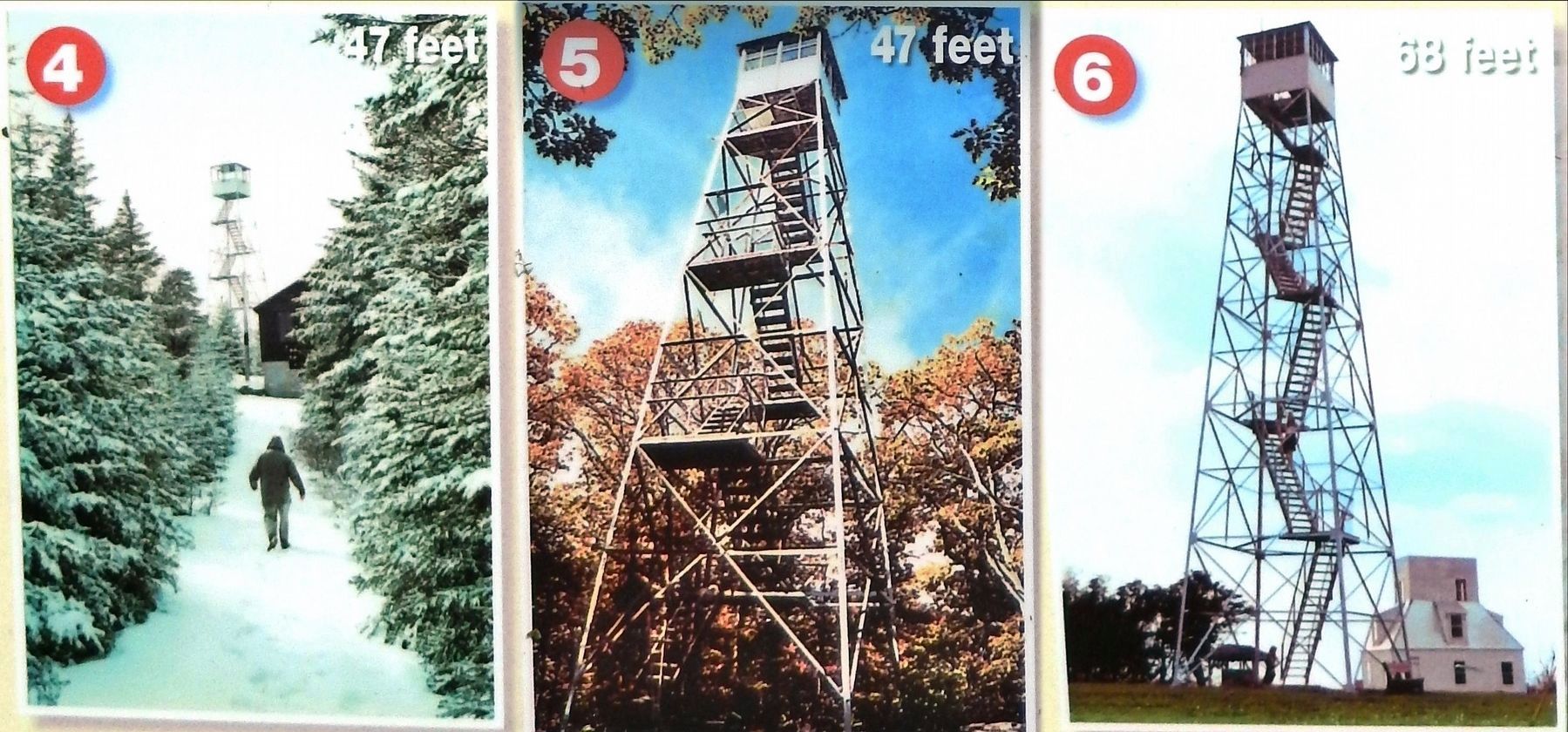
4 • Balsam Lake Mountain (47 feet)
Hardenburgh —
near Arkville
Elevation 3,723 feet
The first forest fire tower in New York State was erected on Balsam Lake Mountain in 1887.
5 • Tremper Mountain (47 feet)
Shandaken —
near Phoenicia
Elevation 2,740 feet
Original structure built circa 1917, was used for fire observation until 1971. A great view over the central Catskill peaks.
6 • Mt. Utsayantha (68 feet)
Town of Stamford —
Elevation 3,209 feet
Built by the Civilian Conservation Corps (CCC) in 1933. Tower can be accessed by car.
Please consider being a volunteer. Call DEC at 845-256-3000 or Catskill Center at 607-652-7365 to have a special Catskill experience.
Erected by Catskill Interpretive Center.
Topics. This historical marker is listed in these topic lists: Horticulture & Forestry • Parks & Recreational Areas.
Location. 42° 1.722′ N, 74° 16.351′ W. Marker is in Mount Tremper, New York, in Ulster County. Marker is on New York State Route 28, ¾ mile south of New York State Route 212, on the left when traveling south. Marker is located at the south corner of the Catskills Visitor Center interpretive kiosk. Touch for map. Marker is at or near this postal address: 5096 New York 28, Mount Tremper NY 12457, United States of America. Touch for directions.
Other nearby markers. At least 8 other markers are within 5 miles of this marker, measured as the crow flies. Inspiring the American Imagination (here, next to this marker); Catskill History (here, next to this marker); Catskill Communities (here, next to this marker); Fort Shandaken (approx. 0.3 miles away); Zen Mountain Monastery (approx. 1.3 miles away); Catskill Mountains - Shandaken Area (approx. 1.9 miles away); Phoenicia Station Centennial (approx. 4 miles away); Shandaken Eagle (approx. 4.3 miles away). Touch for a list and map of all markers in Mount Tremper.
Also see . . . Catskill Fire Towers. Historically more than a hundred towers, some built nearly a century ago, were used for early detection of forest fires throughout New York state because of their extensive views of the surrounding countryside. Today, just five towers remain in the Catskill Park and are maintained with assistance from a dedicated group of volunteers and the New York State Department of Environmental Conservation. (Submitted on March 25, 2020, by Cosmos Mariner of Cape Canaveral, Florida.)
Credits. This page was last revised on March 25, 2020. It was originally submitted on March 24, 2020, by Cosmos Mariner of Cape Canaveral, Florida. This page has been viewed 304 times since then and 37 times this year. Photos: 1, 2, 3, 4, 5. submitted on March 24, 2020, by Cosmos Mariner of Cape Canaveral, Florida.
