Near Hayward in Sawyer County, Wisconsin — The American Midwest (Great Lakes)
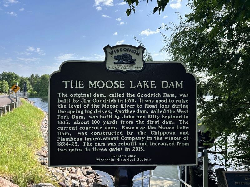
The Moose Lake Dam
Photographed by Devon Polzar, 2025
1. The Moose Lake Dam Marker
Erected 2017 by Wisconsin Historical Society. (Marker Number 567.)
Topics and series. This historical marker is listed in these topic lists: Industry & Commerce • Waterways & Vessels. In addition, it is included in the Wisconsin Historical Society series list. A significant historical year for this entry is 1878.
Location. 46° 2.005′ N, 91° 4.566′ W. Marker is near Hayward, Wisconsin, in Sawyer County. It is on North Louies Landing Road 0.2 miles south of West Pine Point Road, on the right when traveling south. Touch for map. Marker is at or near this postal address: 11095 N Louies Landing Rd, Hayward WI 54843,
this page online

Regionally, this marker is in Northern Wisconsin. It is also in the American Midwest and in the Corn Belt. Globally, it is in North America, the Great North Woods, the Western Hemisphere, the Western World, and the Anglosphere. Historically, it finds itself in what was once the territory of the Mississippian Culture and also the Northwest Territory.
Other nearby markers. At least one other marker is within 9 miles of this marker, measured as the crow flies: The Chippewa Flowage (approx. 8.8 miles away).
Photographed by Devon Polzar, 2025
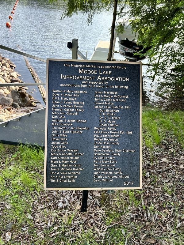
2. The Moose Lake Dam Marker Sponsors
Photographed by Fitzie Heimdahl
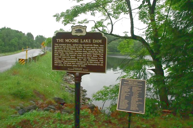
3. The Moose Lake Dam Marker
Photographed by Greta Schassler, July 2, 2024
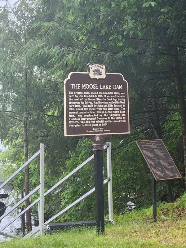
4. The Moose Lake Dam Marker
Credits. This page was last revised on July 3, 2025. It was originally submitted on March 27, 2020, by Fitzie Heimdahl of Eau Claire, Wisconsin. This page has been viewed 1,607 times since then and 113 times this year. Photos: 1, 2. submitted on July 2, 2025, by Devon Polzar of Port Washington, Wisconsin. 3. submitted on March 27, 2020, by Fitzie Heimdahl of Eau Claire, Wisconsin. 4. submitted on July 8, 2024, by Greta Mulder of Milwaukee, Wisconsin. • Mark Hilton was the editor who published this page.
Editor’s want-list for this marker. Closeup photo of marker. • Can you help?
