Superior in Douglas County, Wisconsin — The American Midwest (Great Lakes)
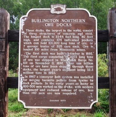
Burlington Northern Ore Docks
The first dock was built of timber in 1892. The first cargo consisting of 2073 long tons of ore was shipped in Whaleback Barge No. 102 on November 11, 1892. Over one billion tons of ore have been shipped through these docks, the largest year’s shipment being 32.3 million tons in 1953.
In 1967 a conveyor belt system was installed for moving taconite pellets from trains to dock pockets. In the early years as many as 400-500 men worked on the docks; with modern equipment and reduced volume of ore, less than 140 men are now required.
Erected 1973 by Wisconsin Historical Society. (Marker Number 192.)
Topics and series. This historical marker is listed in these topic lists: Industry & Commerce • Man-Made Features • Railroads & Streetcars • Waterways & Vessels. In addition, it is included in the Wisconsin Historical Society series list. A significant historical month for this entry is November 1917.
Location. 46° 41.649′ N, 92° 1.73′ W. Marker is in Superior, Wisconsin, in Douglas County. Marker is on East 1st Street, ¼ mile west of 37th Avenue East, on the right when traveling west. The marker is at the end of East 1st Street in cul-de-sac area. It is located north of Allouez Park. Touch for map. Marker is in this post office area: Superior WI 54880, United States of America. Touch for directions.
Other nearby markers. At least 8 other markers are within 3 miles of this marker, measured as the crow flies. The Superior Entry (approx. 1.1 miles away); Burial Ground of the Fond du Lac Band (approx. 1.1 miles away); Superior Entry South Breakwater Light (approx. 1.2 miles away); Old Stockade Site (approx. 1.7 miles away); Duluth-Superior Harbor (approx. 1.7 miles away); Lake Superior (approx. 2.1 miles away); Northwest Portal of Wisconsin (approx. 2½ miles away); S.S. Meteor (approx. 2½ miles away). Touch for a list and map of all markers in Superior.
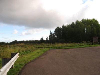
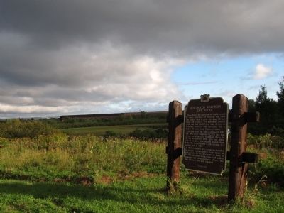
Regarding Burlington Northern Ore Docks. The trees have grown so high to the east as to obscure the view of the eastern ore docks. If you have a clear picture of these docks, please submit. For an aerial view, click on the link to the map above and then click on the satellite view.
Credits. This page was last revised on March 27, 2020. It was originally submitted on September 16, 2013, by Paul Fehrenbach of Germantown, Wisconsin. This page has been viewed 2,478 times since then and 270 times this year. Last updated on March 27, 2020, by Fitzie Heimdahl of Eau Claire, Wisconsin. Photos: 1, 2, 3. submitted on September 16, 2013, by Paul Fehrenbach of Germantown, Wisconsin. • Mark Hilton was the editor who published this page.


