San Pedro near Los Angeles in Los Angeles County, California — The American West (Pacific Coastal)
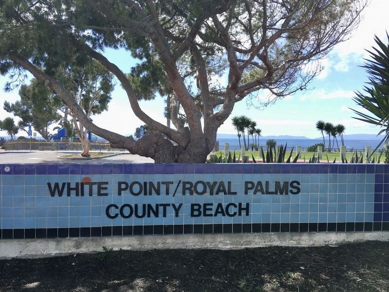
Royal Palms County Beach
White Point
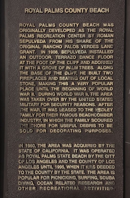
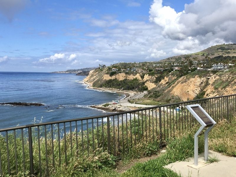
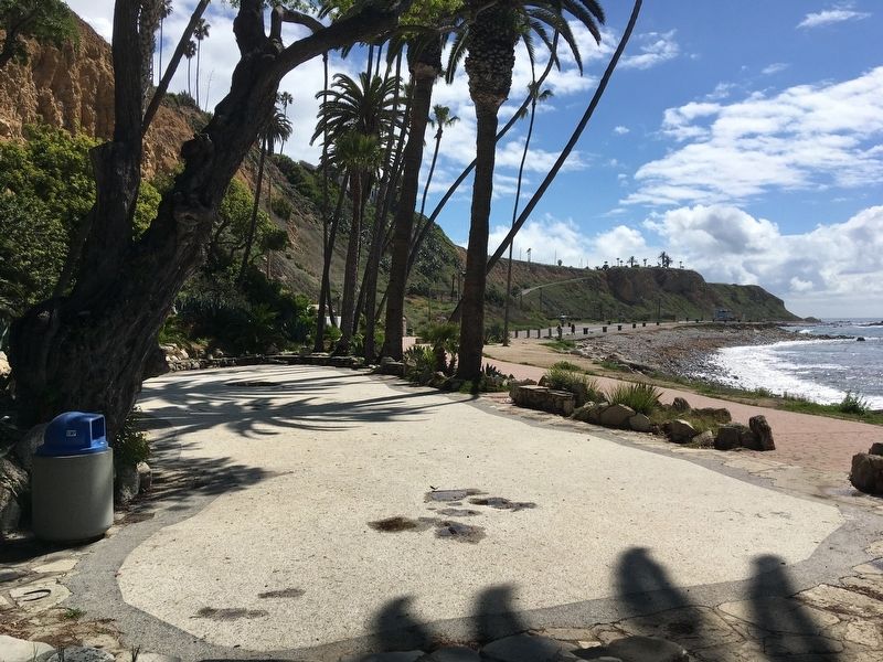
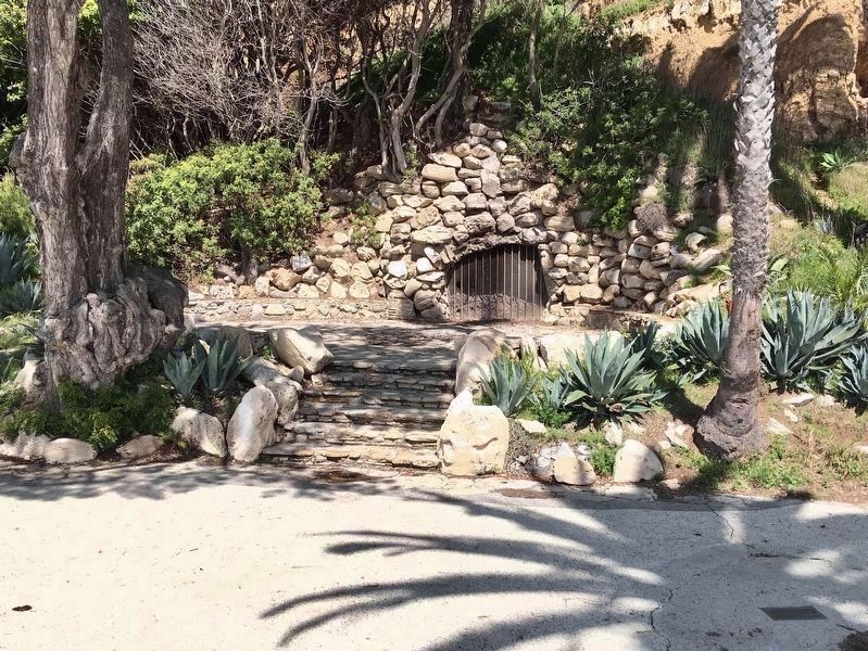
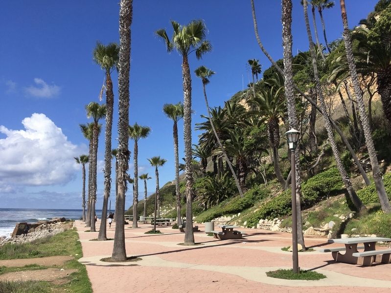
Royal Palms County Beach was originally developed as the Royal Palms Recreation Center by Roman Sepulveda from his share of the original Rancho Palos Verdes land grant. In 1908, Sepulveda installed an outdoor, terrazo dance floor at the foot of the cliff and adorned it with a grove of palm trees. Along the base of the cliff, he built two fireplaces and seating out of local stone, making this a very popular place until the beginning of World War II. During World War II, the area was taken over by the United States military for security reasons. After the war, it was leased to the Hedley family for their famous beachcomber industry, in which the family scoured the shore for useful debris to be sold for decorating purposes.
In 1960, the area was acquired by the State of California. It was operated as Royal Palms State Beach by the City of Los Angeles and the County of Los Angeles until 1995, when it was deeded to the county by the state. The area is popular for picnicking, surfing, scuba diving, ocean related research and other recreational activities.
Erected 1997 by County of Los Angeles.
Topics. This historical marker is listed in these topic lists: Notable Places • Parks & Recreational Areas • War, World II. A significant historical year for this entry is 1908.
Location. 33° 42.991′ N, 118° 19.138′ W. Marker is near Los Angeles, California, in Los Angeles County. It is in San Pedro. Marker is on West Paseo Del Mar, 0.2 miles east of Western Avenue, on the right when traveling east. Touch for map. Marker is at or near this postal address: 1599 W Paseo Del Mar, San Pedro CA 90732, United States of America. Touch for directions.
Other nearby markers. At least 8 other markers are within 2 miles of this marker, measured as the crow flies. White Point Nike Missile Site (a few steps from this marker); White Point Fountain (within shouting distance of this marker); Catalina Channel (about 400 feet away, measured in a direct line); Santa Catalina Island (about 500 feet away); White Point Nature Preserve (about 700 feet away); Japanese Americans at White Point (about 800 feet away); Battery Osgood-Farley Historic Site (approx. 1.3 miles away); Korean Friendship Bell (approx. 1˝ miles away). Touch for a list and map of all markers in Los Angeles.
Also see . . . County Beach History. (Submitted on March 28, 2020.)
Credits. This page was last revised on February 7, 2023. It was originally submitted on March 28, 2020, by Craig Baker of Sylmar, California. This page has been viewed 342 times since then and 75 times this year. Photos: 1, 2, 3, 4, 5, 6. submitted on March 28, 2020, by Craig Baker of Sylmar, California. • Syd Whittle was the editor who published this page.
