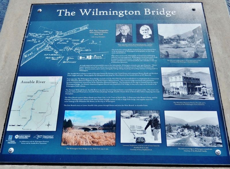
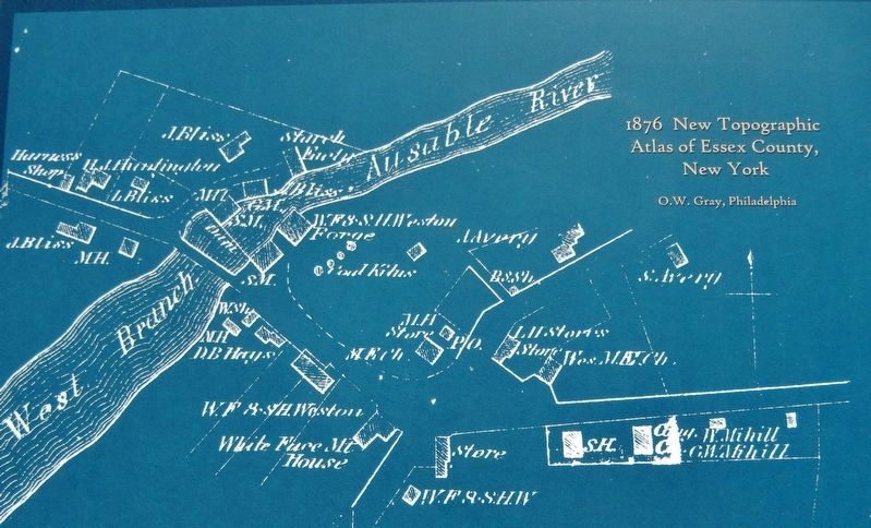
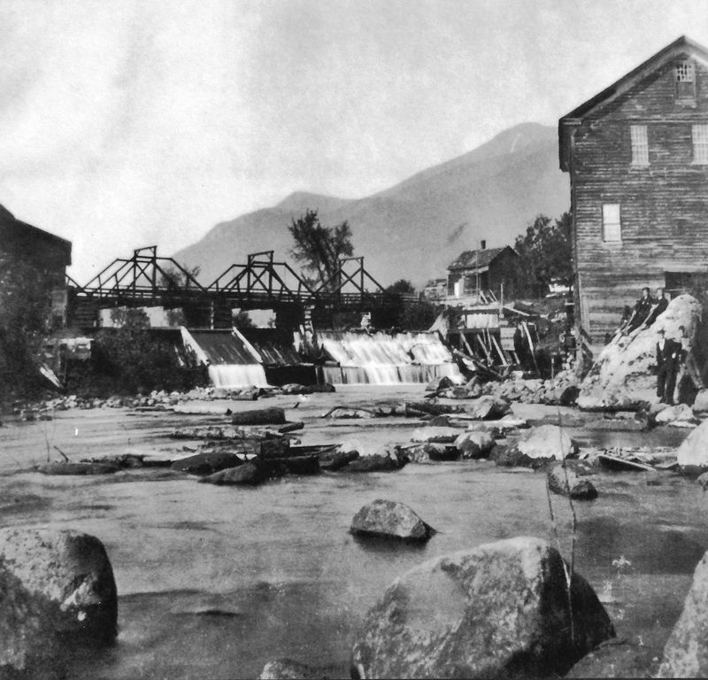
Wilmington in Essex County, New York — The American Northeast (Mid-Atlantic)
The Wilmington Bridge
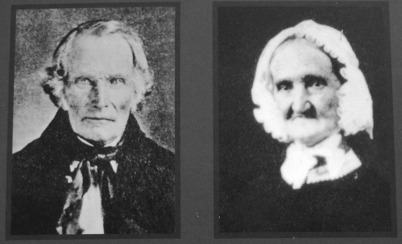
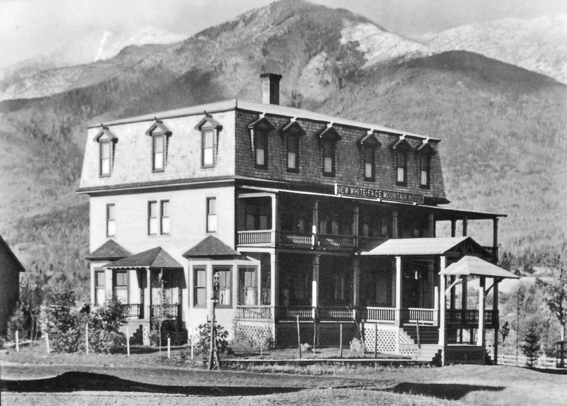
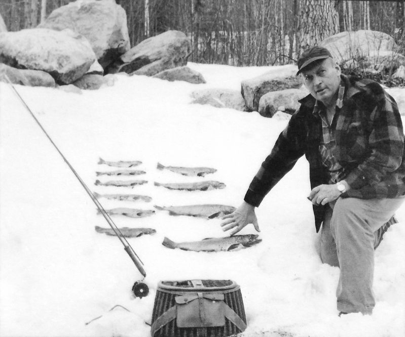
Even when travel to the Adirondacks involved many challenging miles by train and stagecoach, Wilmington's hotels and resorts made it a popular tourist destination. Local guides catered to visiting hunters and fisherman, and led horseback rides and hikes to the top of Whiteface Mountain.
As roads improved and automobiles came to the Adirondacks, Wilmington entered a new age of tourism. "Motor hotels" (motels) were built as well as new attractions like Santa's workshop and the Whiteface Mountain Ski Resort. In every season, sports such as skiing, fly fishing, hiking, kayaking and cycling continue to bring people to Wilmington.
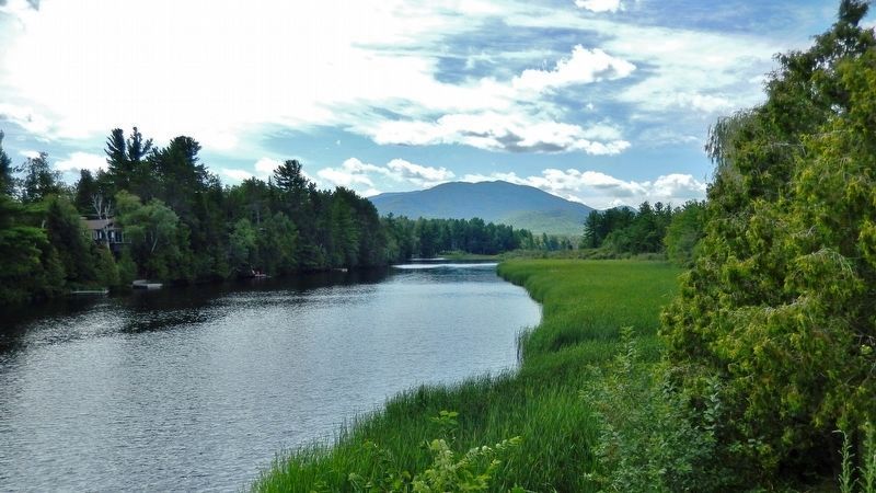
The Ausable River is home to some of the most famous fly fishing in the United States with numerous Brown, Brook and Rainbow Trout caught each year. Many popular fly fishing pools are along the West Branch of the Ausable River on NY Route 86.
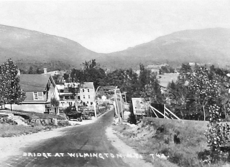
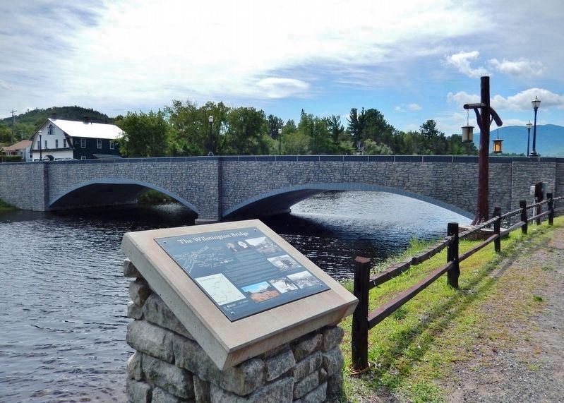
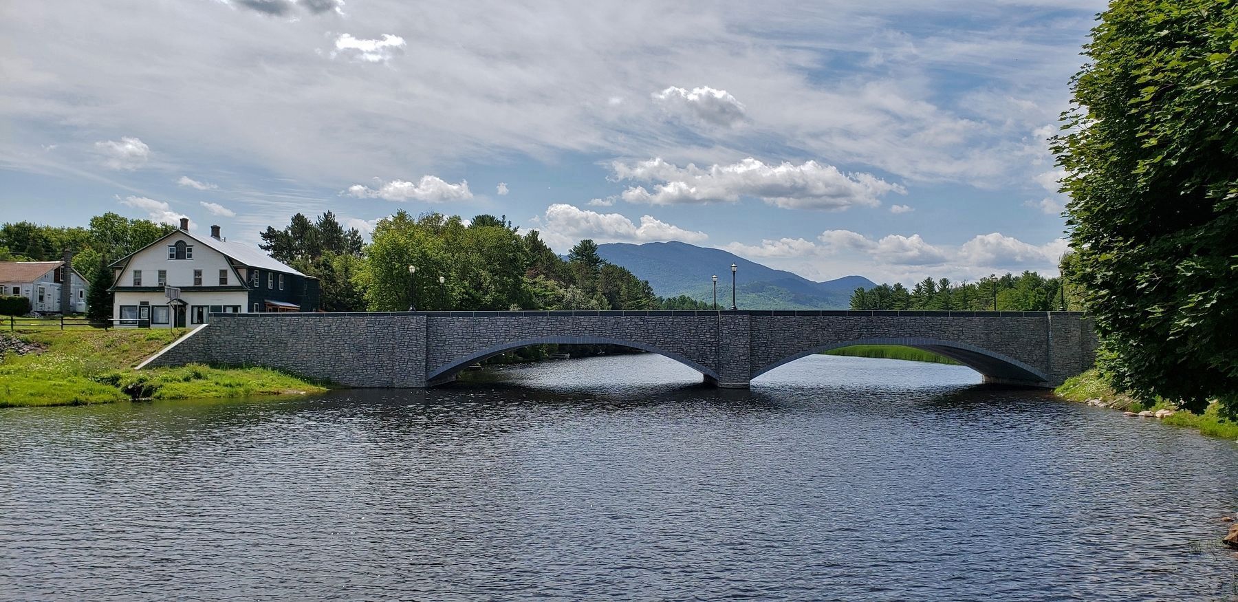
From 1934-1935, The Wilmington Stone Bridge was built over the West Branch of the Ausable River to complement the construction of the Whiteface Memorial Highway by the Work Projects Administration. This concrete bridge was faced with anorthosite (granite) claimed from construction of the Whiteface Memorial Highway. The foundation of this sign is claimed from the 1934-35 Wilmington Bridge. An Historic American Engineer Record was completed of the bridge in 2014, and a copy can be found at the Wilmington Public Library.
The National Wild and Scenic Ausable River is 94 miles (150 km) long and drains a watershed of 516 square miles. The river's two branches (East and West) join at Ausable Forks and plunge through Ausable Chasm (East of Keeseville), before emptying into Lake Champlain.
The West Branch starts at Marcy Brook near Heart Lake, in the Town of North Elba. It flows past John Brown's Farm, and the Olympic Training Center South of Lake Placid, drops through a series of falls at High Falls Gorge, and supplies water for snow-making at the Whiteface Ski Resort, on the way to Wilmington.
The East Branch starts at Lower Ausable Lake, passes through Keene and joins the West Branch in Ausable Forks.
Erected by Wilmington Historical Society, Ausable River Association, New York State Museum, Federal Highway Administration, and New York Department of Transportation.
Topics and series. This historical marker is listed in these topic lists: Bridges & Viaducts • Roads & Vehicles •
Settlements & Settlers • Waterways & Vessels. In addition, it is included in the Works Progress Administration (WPA) projects series list. A significant historical year for this entry is 2014.
Location. 44° 23.361′ N, 73° 49.063′ W. Marker is in Wilmington, New York, in Essex County. Marker can be reached from the intersection of New York State Route 86 and Lakeview Terrace Lane, on the right when traveling west. Marker is located within the Town of Wilmington Bridge Park, overlooking the bridge and the Ausable River. Touch for map. Marker is in this post office area: Wilmington NY 12997, United States of America. Touch for directions.
Other nearby markers. At least 8 other markers are within 12 miles of this marker, measured as the crow flies. Wilmington Community Dam (a few steps from this marker); Village Green (approx. 4.6 miles away); New York World War Veterans Memorial Highway (approx. 4.6 miles away); Jay Covered Bridge (approx. 4.7 miles away); New York State Forest Preserve (approx. 7.3 miles away); Henry J. Kaiser (approx. 10.7 miles away); Sonja Henie Ice Fountain (approx. 11 miles away); The XIII Winter Olympic Games (approx. 11.4 miles away). Touch for a list and map of all markers in Wilmington.
Regarding The Wilmington Bridge. National Register
of Historic Places #99001324.
Also see . . . Wilmington Bridge (Wikipedia). Wilmington Bridge is a historic concrete arch bridge over the Ausable River at Wilmington in Essex County, New York. It was built in 1934 and is an arch bridge faced with stone, 37 feet wide and spanning 160 feet (two 70 feet arch spans) at roughly 24 feet, 8 inches above water level. (Submitted on April 1, 2020, by Cosmos Mariner of Cape Canaveral, Florida.)
Credits. This page was last revised on April 1, 2020. It was originally submitted on April 1, 2020, by Cosmos Mariner of Cape Canaveral, Florida. This page has been viewed 243 times since then and 29 times this year. Photos: 1, 2, 3, 4, 5, 6, 7, 8, 9, 10. submitted on April 1, 2020, by Cosmos Mariner of Cape Canaveral, Florida.
