Sawyer in Choctaw County, Oklahoma — The American South (West South Central)
Spencer Academy
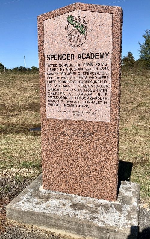
Photographed by Mark Hilton, October 21, 2019
1. Spencer Academy Marker
Erected 1995 by Oklahoma Historical Society. (Marker Number 188.)
Topics and series. This historical marker is listed in these topic lists: Education • Indigenous Peoples and Communities. In addition, it is included in the Oklahoma Historical Society series list. A significant historical year for this entry is 1841.
Location. 34° 1.147′ N, 95° 21.757′ W. Marker is in Sawyer, Oklahoma, in Choctaw County. It is on U.S. 70 east of N4310 Road (State Route 147), on the right when traveling west. Touch for map. Marker is in this post office area: Sawyer OK 74756, United States of America. Touch for directions.

Regionally, this marker is in the Choctaw Nation and in Southeast Oklahoma—Choctaw Country. It is also in the American South, specifically in the Piney Woods, on the prairies, and on the Southern Plains. Globally, it is in North America, the Western Hemisphere, the Western World, and the Anglosphere. Historically, it finds itself in what was once New Spain, the territory of the Mississippian Culture, and the Louisiana Purchase.
Other nearby markers. At least 8 other markers are within 6 miles of this marker, measured as the crow flies: Dedicated To Veterans Who Served (approx. 5.2 miles away); Doaksville Cemetery (approx. 5.2 miles away); Doaksville History Trail (approx. 5.2 miles away); Old Doaksville Cemetery (approx. 5.2 miles away); Roads and Rivers (approx. 5.3 miles away); …A Small But Pleasant Looking Village (approx. 5.3 miles away); The End of Doaksville (approx. 5.3
this page online
Also see . . . Spencer Academy. Exploring Oklahoma History website entry (Submitted on April 23, 2026, by Larry Gertner of New York, New York.)
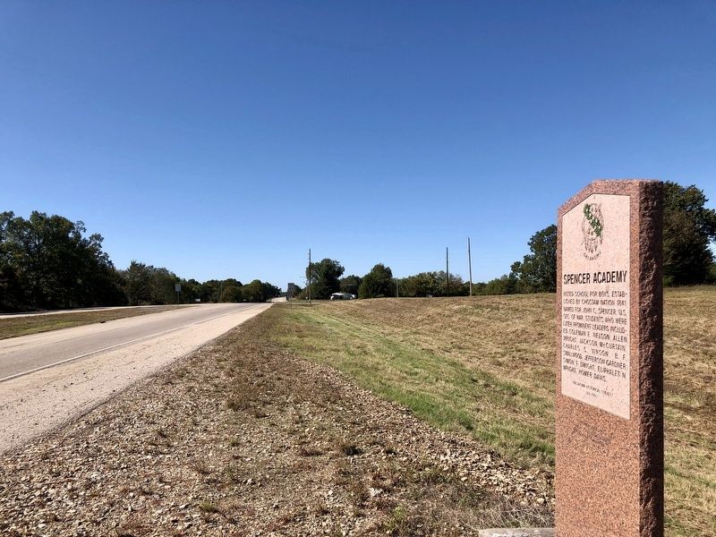
Photographed by Mark Hilton, October 21, 2019
2. View west along U.S. Highway 70.
Credits. This page was last revised on April 23, 2026. It was originally submitted on April 2, 2020, by Mark Hilton of Montgomery, Alabama. This page has been viewed 997 times since then and 91 times this year. Photos: 1, 2. submitted on April 2, 2020, by Mark Hilton of Montgomery, Alabama.
