Near Newell in Modoc County, California — The American West (Pacific Coastal)
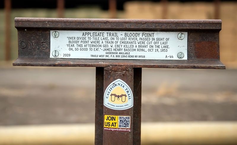
Applegate Trail - Bloody Point
— California Historical Landmark No. 8 —
Inscription.
"Over divide to Tule Lake, on Lost River, passed in sight of Bloody Point where a train of emigrants were cut off last year. This afternoon Geo. W. Ebey killed a brant on the lake. Oh, so good to eat." - James Henry Bascomb Royal, Oct 19, 1853.
Erected 2009 by Trails West, Inc. (Marker Number A-44.)
Topics and series. This historical marker is listed in these topic lists: Roads & Vehicles • Wars, US Indian. In addition, it is included in the Applegate Trail, the California Historical Landmarks, the California Trail, and the Trails West Inc. series lists. A significant historical date for this entry is October 19, 1853.
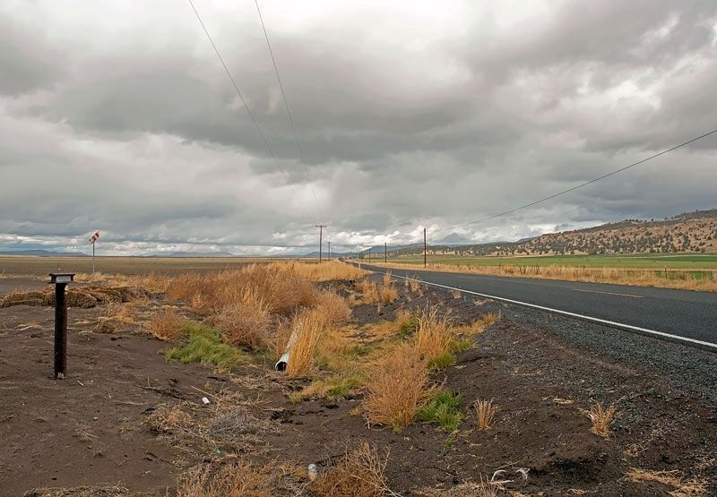
Location. 41° 56.228′ N, 121° 20.307′ W. Marker is near Newell, California, in Modoc County. Marker is on Old Alturas Highway (County Route 114) 1.1 miles north of County Route 101, on the left when traveling north. Touch for map. Marker is in this post office area: Tulelake CA 96134, United States of America. Touch for directions.
Other nearby markers. At least 8 other markers are within 7 miles of this marker, measured as the crow flies. Burnett Cutoff - At Klamath [Tule] Lake (here, next to this marker); Tule Lake Segregation Center (approx. 3.9 miles away); Tule Lake (approx. 4 miles away); Battle of Dry Lake Memorial (approx. 4.2 miles away); Canby’s Cross (approx. 4.2 miles away); Captain Jack’s Stronghold (approx. 4.2 miles away); Warm Springs Indians (approx. 4.2 miles away); Burnett Cutoff - Muddy Waters (approx. 6½ miles away). Touch for a list and map of all markers in Newell.
Regarding Applegate Trail - Bloody Point. In 1932, Bloody Point was designated California Historical Landmark No. 8 - “In 1850 one of the bloodiest massacres of emigrants ever known on the Oregon Trail occurred here when Modoc Indians killed over 90 men, women, and children in a surprise attack. The following year another large party narrowly escaped the same fate, and the Indians succeeded in killing several smaller parties here.”
Credits. This page was last revised on February 19, 2024. It was originally submitted on April 3, 2020, by Alvis Hendley of San Francisco, California. This page has been viewed 367 times since then and 35 times this year. Photos: 1, 2. submitted on April 3, 2020, by Alvis Hendley of San Francisco, California. • Syd Whittle was the editor who published this page.

