Hermitage in Donelson in Davidson County, Tennessee — The American South (East South Central)
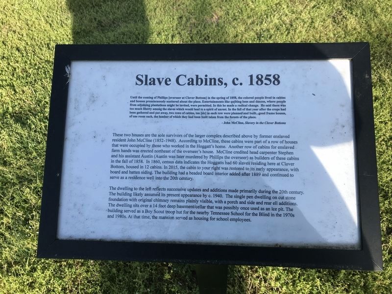
Slave Cabins, c. 1858
[Clover Bottom Farm]
Until the coming of Phillips [overseer at Clover Bottom] in the spring of 1858, the colored people lived in cabins and houses promiscuously scattered about the place. Entertainments like quilting bees and dances, where people from adjoining plantations might be invited, were permitted. In this he made a radical change. He said there was too much liberty among the slaves which would lead to a spirit of unrest. In the fall of that year after the crops had been gathered and put away, two rows of cabins, ten [sic] in each row were planned and built...good frame houses, of one room each, the lumber of which they had been built taken from the forests of the place.
- John McCline, Slavery in the Clover Bottoms
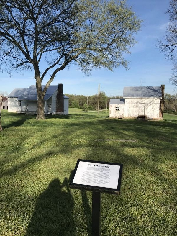
These two houses are the sole survivors of the larger complex described above by former enslaved resident John McCline (1852-1948). According to McCline, these cabins were part of a row of houses that were occupied by those who worked in the Hoggatt's home. Another row of cabins for enslaved farm hands was erected northeast of the overseer's house. McCline credited head carpenter Stephen and his assistant Austin (Austin was later murdered by Phillips the overseer) as builders of these cabins in the fall of 1858. In 1860, census data indicates the Hoggatts had 60 slaves residing here at Clover Bottom, housed in 12 cabins. In 2015, the cabin to your right was restored to its early appearance; with board and batten siding. The building had a beaded board interior added after 1889 and continued to serve as a residence well into the 20th century.
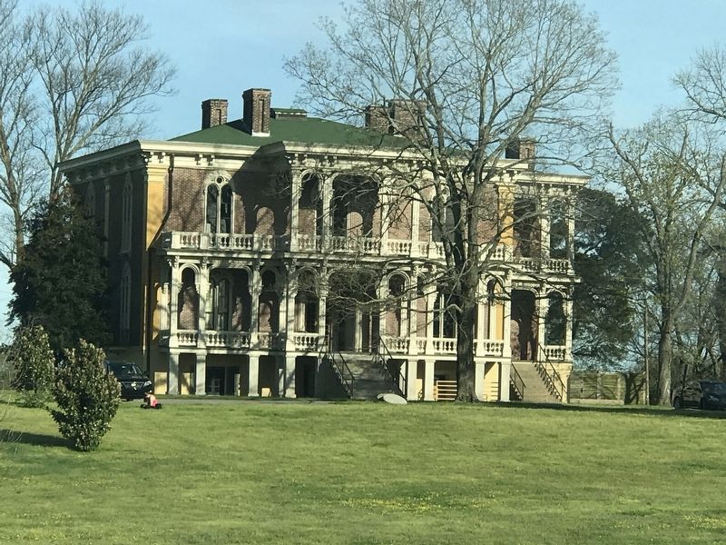
The dwelling to the left reflects successive updates and additions made primarily during the 20th century. The building likely assumed its present appearance by c. 1940. The single pen dwelling on cut stone foundation with original chimney remains plainly visible, with a porch and side and rear ell additions. The dwelling sits over a 14 foot deep basement/cellar that was possibly once used as an ice pit. The building served as a Boy Scout troop hut for the nearby Tennessee School for the Blind in the 1970s and 1980s. At that time, the mansion served as housing for school employees.
Topics. This historical marker is listed in these topic lists: African Americans • Agriculture • Notable Buildings. A significant historical year for this entry is 1858.
Location. 36° 10.154′ N, 86° 38.945′ W. Marker is in Donelson, Tennessee, in Davidson County. It is in Hermitage. Marker can be reached from the intersection of Lebanon Pike (U.S. 70) and Rivercrest Pass, on the right when traveling east. Marker can be reached from the intersection of Lebanon Pike and Rivercrest Pass. Marker located on Clover Bottom Mansion grounds to the southeast of the main house. Touch for map. Marker is at or near this postal address: 2941 Lebanon Pike, Nashville TN 37214, United States of America. Touch for directions.
Other nearby markers. At least 8 other markers are within 2 miles of this marker, measured as the crow flies. Chicken House, c. 1920s (here, next to this marker); Clover Bottom Farm (within shouting distance of this marker); Carriage House, c. 1850s (about 300 feet away, measured in a direct line); Horse Barn, c. 1890s (about 400 feet away); Clover Bottom Mansion (approx. 0.2 miles away); Stone Hall / Eversong (approx. 1.6 miles away); Buchanan Log House (approx. 1.8 miles away); Two Rivers Mansion (approx. 2 miles away). Touch for a list and map of all markers in Donelson.
Credits. This page was last revised on February 7, 2023. It was originally submitted on April 5, 2020, by Duane and Tracy Marsteller of Murfreesboro, Tennessee. This page has been viewed 337 times since then and 24 times this year. Photos: 1, 2, 3. submitted on April 5, 2020, by Duane and Tracy Marsteller of Murfreesboro, Tennessee. • Devry Becker Jones was the editor who published this page.


