Hermitage in Davidson County, Tennessee — The American South (East South Central)
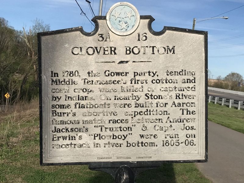
Clover Bottom
Erected by Tennessee Historical Commission. (Marker Number 3A 16.)
Topics and series. This historical marker is listed in these topic lists: Agriculture • Settlements & Settlers • Sports • Wars, US Indian. In addition, it is included in the Former U.S. Presidents: #07 Andrew Jackson, and the Tennessee Historical Commission series lists. A significant historical year for this entry is 1780.
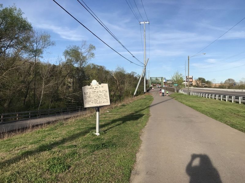
Location. Marker has been reported missing. It was located near 36° 11.151′ N, 86° 38.118′ W. Marker was in Hermitage, Tennessee, in Davidson County. Marker was on Lebanon Pike (U.S. 70) 0.1 miles west of Stones River, on the right when traveling west. Touch for map. Marker was in this post office area: Hermitage TN 37076, United States of America. Touch for directions.
Other nearby markers. At least 8 other markers are within 2 miles of this location, measured as the crow flies. Stone Hall / Eversong (approx. 0.2 miles away); Horse Barn, c. 1890s (approx. 1.3 miles away); Carriage House, c. 1850s (approx. 1.3 miles away); Clover Bottom Farm (approx. 1.4 miles away); Slave Cabins, c. 1858 (approx. 1.4 miles away); Chicken House, c. 1920s (approx. 1.4 miles away); Clover Bottom Mansion (approx. 1.4 miles away); Dodson School (approx. 1.8 miles away). Touch for a list and map of all markers in Hermitage.
Additional commentary.
1. Disappearing Historical Markers
Sadly this marker has disappeared. The pole is sawn off.
— Submitted September 24, 2021.
Credits. This page was last revised on February 7, 2023. It was originally submitted on April 5, 2020, by Duane and Tracy Marsteller of Murfreesboro, Tennessee. This page has been viewed 463 times since then and 47 times this year. Photos: 1, 2. submitted on April 5, 2020, by Duane and Tracy Marsteller of Murfreesboro, Tennessee. • Devry Becker Jones was the editor who published this page.

