East Bank in Nashville in Davidson County, Tennessee — The American South (East South Central)
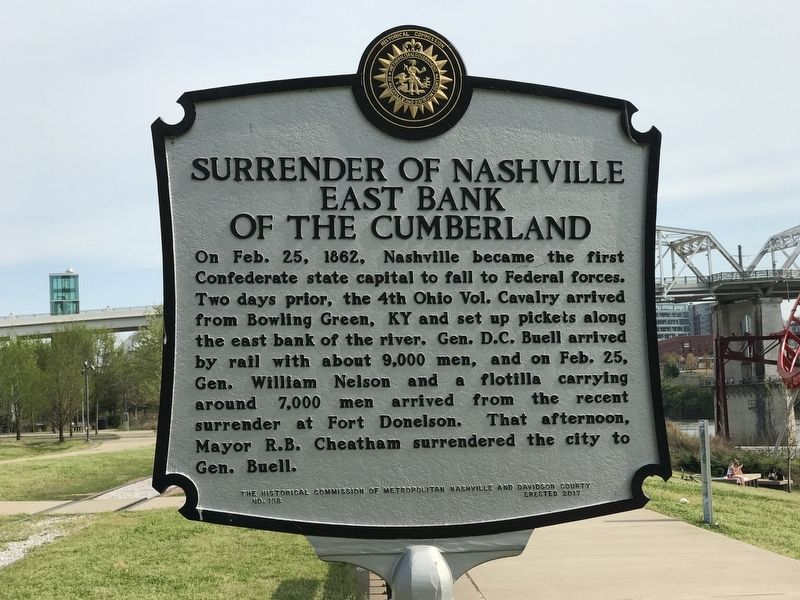
Surrender of Nashville East Bank of the Cumberland
Inscription.
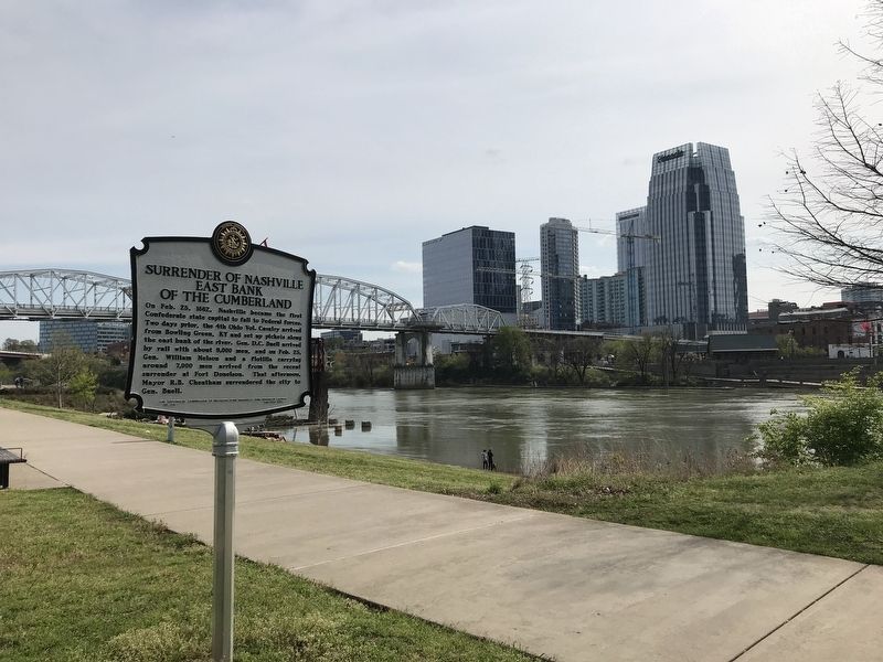
On Feb. 25, 1862, Nashville became the first Confederate state capital to fall to Federal forces. Two days prior, the 4th Ohio Vol. Cavalry arrived from Bowling Green, KY and set up pickets along the east bank of the river. Gen. D.C. Buell arrived by rail with about 9,000 men, and on Feb. 25, Gen. William Nelson and a flotilla carrying around 7,000 men arrived from the recent surrender at Fort Donelson. That afternoon, Mayor R.B. Cheatham surrendered the city to Gen. Buell.
Erected 2017 by The Historical Commission of Metropolitan Nashville and Davidson County. (Marker Number 158.)
Topics and series. This historical marker is listed in this topic list: War, US Civil. In addition, it is included in the Tennessee, The Historical Commission of Metropolitan Nashville and Davidson County series list. A significant historical date for this entry is February 25, 1862.
Location. 36° 9.852′ N, 86° 46.346′ W. Marker is in Nashville, Tennessee, in Davidson County. It is in East Bank. Marker is at the intersection of Titans Way and Victory Avenue, on the right when traveling south on Titans Way. Marker located along the East Bank Greenway alongside the Cumberland River. Touch for map. Marker is in this post office area: Nashville TN 37213, United States of America. Touch for directions.
Other nearby markers. At least 8 other markers are within walking distance of this marker. Shelby Street Bridge (about 600 feet away, measured in a direct line); Nashville Bridge Company (about 700 feet away); The First Peoples (approx. 0.2 miles away); Native American Plaza (approx. 0.2 miles away); The Bluff Station (approx. 0.2 miles away); Colonel John Donelson (approx. 0.2 miles away); Fort Nashborough (approx. 0.2 miles away); River Cane (approx. 0.2 miles away). Touch for a list and map of all markers in Nashville.
Credits. This page was last revised on February 7, 2023. It was originally submitted on April 6, 2020, by Duane and Tracy Marsteller of Murfreesboro, Tennessee. This page has been viewed 287 times since then and 21 times this year. Photos: 1, 2. submitted on April 6, 2020, by Duane and Tracy Marsteller of Murfreesboro, Tennessee. • Bernard Fisher was the editor who published this page.

