Indian Head in Charles County, Maryland — The American Northeast (Mid-Atlantic)
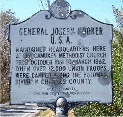
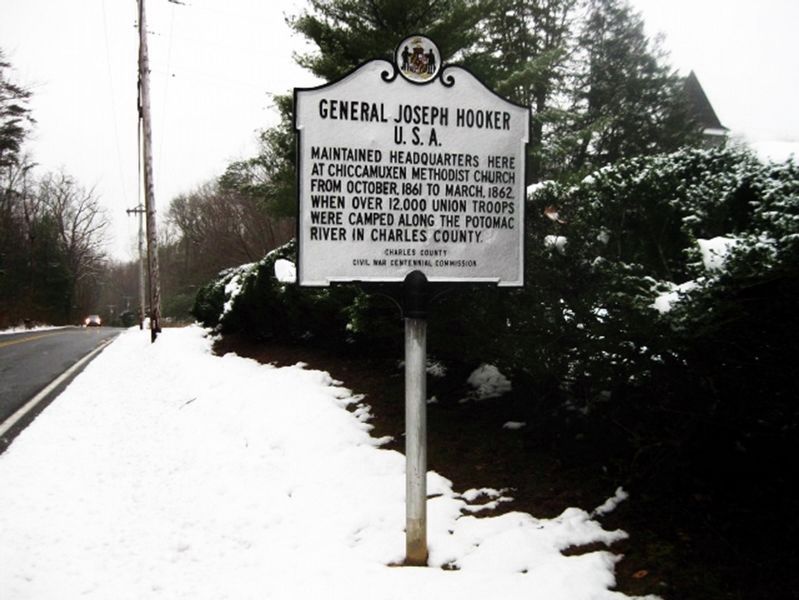
General Joseph Hooker U.S.A.
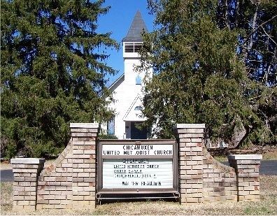
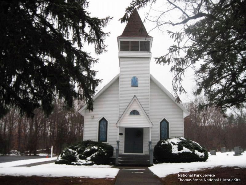
Maintained headquarters here at Chicamuxen Methodist Church from October, 1861, to March, 1862, when over 12,000 Union troops were camped along the Potomac River in Charles County.
Erected by Charles County Civil War Centennial Commission.
Topics. This historical marker is listed in these topic lists: Military • Notable Places • War, US Civil • Waterways & Vessels. A significant historical month for this entry is March 1862.
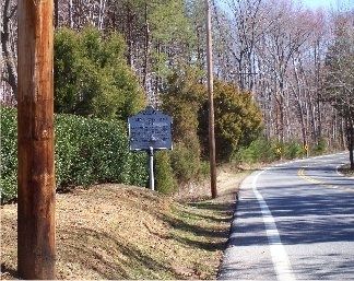
Location. 38° 32.065′ N, 77° 13.261′ W. Marker is in Indian Head, Maryland, in Charles County. Marker is on Chicamuxen Road (Maryland Route 224). Marker is adjacent to the church cemetery. Touch for map. Marker is at or near this postal address: 6255 Chicamuxen Road, Indian Head MD 20640, United States of America. Touch for directions.
Other nearby markers. At least 8 other markers are within 3 miles of this marker, measured as the crow flies. Rum Point (approx. 1.3 miles away); General Smallwood's Gravesite (approx. 2.1 miles away); Budds Ferry (approx. 2.2 miles away); Explore your Chesapeake (approx. 2.4 miles away); Rich Resources (approx. 2.6 miles away); John Smith Explores the Chesapeake (approx. 2.6 miles away); Join the Adventure (approx. 2.6 miles away); Christian Temple Manor (approx. 2.6 miles away).
Additional keywords. Army of the Potomac.
Credits. This page was last revised on January 8, 2024. It was originally submitted on March 9, 2008, by M. A. Pimentel of Waldorf, Maryland. This page has been viewed 2,564 times since then and 81 times this year. Last updated on December 28, 2008, by Richard E. Miller of Oxon Hill, Maryland. Photos: 1, 2, 3. submitted on March 9, 2008, by M. A. Pimentel of Waldorf, Maryland. 4. submitted on January 21, 2019. 5. submitted on August 5, 2019. • Craig Swain was the editor who published this page.
