North Capitol in Nashville in Davidson County, Tennessee — The American South (East South Central)
First Bridge Over the Cumberland
1823 Nashville Toll Bridge
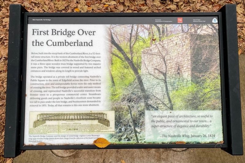
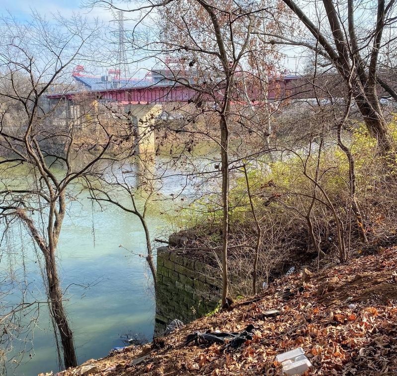
Below, built into the steep bank of the Cumberland River, is a 52-foot-tall stone structure. It is the western abutment of the first bridge over the Cumberland River. Built in 1823 by the Nashville Bridge Company, it was a three-span wooden truss bridge supported by two massive stone piers. The bridge was covered in wood and featured arched entrances and windows along its length to provide light.
The bridge operated as a private toll bridge connecting Nashville’s Public Square to the town of Edgefield across the river. Prior to its construction, slow and undependable ferries were the only method of crossing the river. The toll bridge provided a safer and easier means of crossing, and represented Nashville's successful transition from frontier town to a prosperous commercial center. Steamboats delivering goods and people to Nashville’s riverfront soon became too tall to pass under the low bridge, and businessmen demanded its removal in 1851. Today, all that remains is this one stone abutment.
[Captions:]
The Nashville Bridge Company used the design of noted bridge engineer Lewis Wernwag's long-span wooden bridge patent shown here. Image from the collections of the South Carolina Historical Society.
"an elegant piece of architecture, so useful to the public, and ornamental to our town... a super-structure of elegance and durability"
--The Nashville Whig, January 26, 1824
Erected by Tennessee Department of Transportation; Trail of Tears National Historic Trail, National Park Service, U.S. Department of the Interior.
Topics. This historical marker is listed in these topic lists: Bridges & Viaducts • Industry & Commerce • Waterways & Vessels. A significant historical year for this entry is 1823.
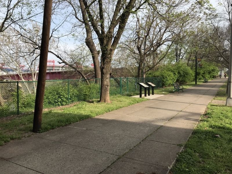
Location. 36° 10.081′ N, 86° 46.633′ W. Marker is in Nashville, Tennessee, in Davidson County. It is in North Capitol. Marker is on Gay Street Connector, 0.1 miles south of 1st Avenue North, on the left when traveling south. Marker is along a pedestrian path in Bicentennial Park, located on the west bank of Cumberland River near the James Robertson Parkway bridge. Touch for map. Marker is in this post office area: Nashville TN 37201, United States of America. Touch for directions.
Other nearby markers. At least 8 other markers are within walking distance of this marker. Journey West: Forced Removal of the Cherokee (here, next to this marker); Victory Memorial Bridge (within shouting distance of this marker); Woodland Street Bridge (about 300 feet away, measured in a direct line); Nashville Inn (about 300 feet away); John Donelson (about 400 feet away); James Robertson
(about 400 feet away); Thomas H. Shriver Towers (about 400 feet away); On This Site Stood the Nashville Inn (about 400 feet away). Touch for a list and map of all markers in Nashville.
Credits. This page was last revised on February 7, 2023. It was originally submitted on April 6, 2020, by Duane and Tracy Marsteller of Murfreesboro, Tennessee. This page has been viewed 391 times since then and 118 times this year. Photos: 1. submitted on December 26, 2021, by Shane Oliver of Richmond, Virginia. 2. submitted on April 6, 2020, by Duane and Tracy Marsteller of Murfreesboro, Tennessee. 3. submitted on December 26, 2021, by Shane Oliver of Richmond, Virginia. • Devry Becker Jones was the editor who published this page.


