High Falls in Ulster County, New York — The American Northeast (Mid-Atlantic)
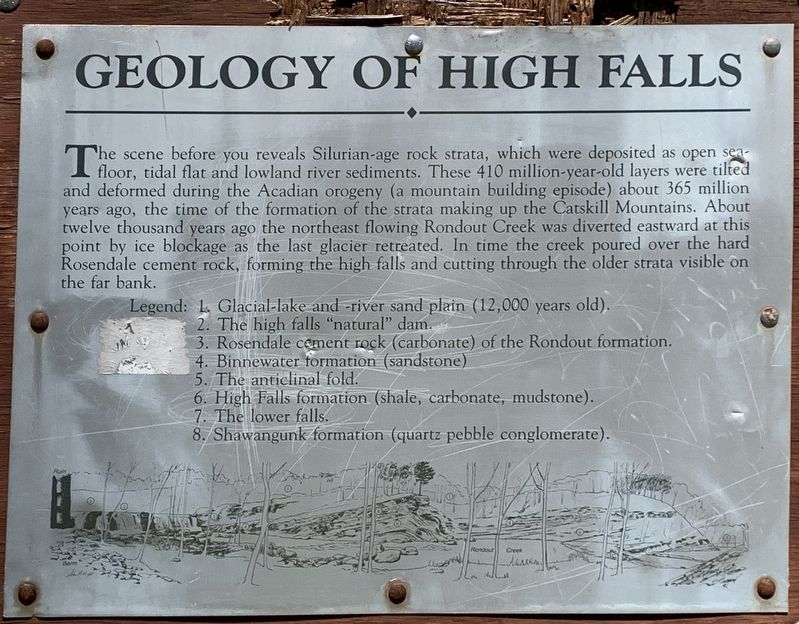
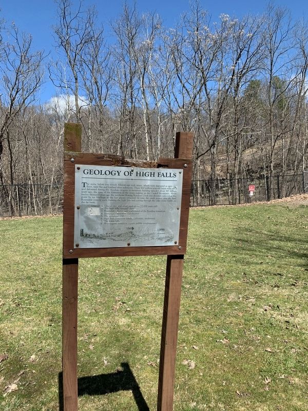
Geology of High Falls
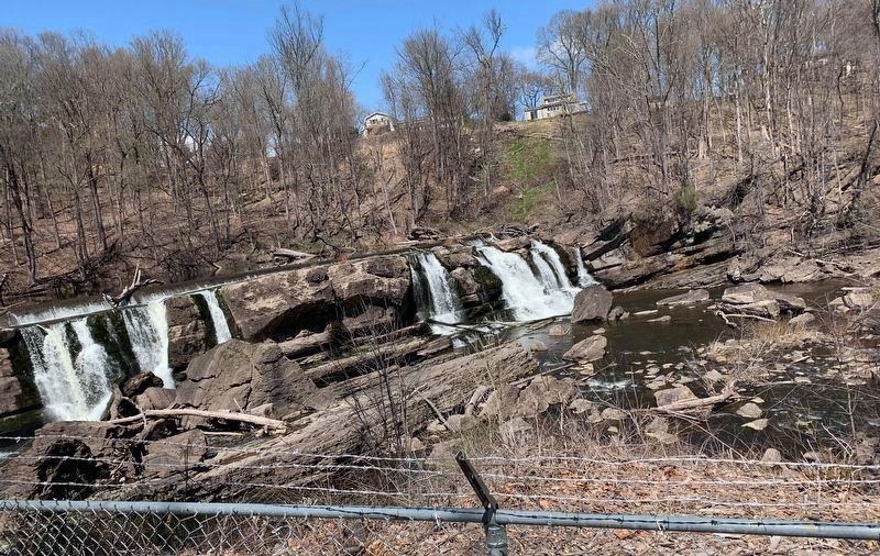
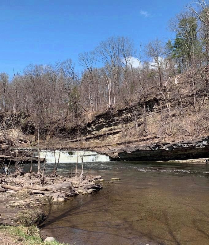
The scene before you reveals Silurian-age rock strata, which were deposited as open seafloor, tidal flat and lowland river sediments. These 410 million-year-old layers were tilted and deformed during the Acadian orogeny (a mountain building episode) about 365 million years ago, the time of the formation of the strata making up the Catskill Mountains. About twelve thousand years ago the northeast flowing Rondout Creek was diverted eastward at this point by ice blockage as the last glacier retreated. In time the creek poured over the hard Rosendale cement rock, forming the high falls and cutting through the older strata visible on the far bank.
Topics. This historical marker is listed in this topic list: Science & Medicine.
Location. 41° 49.746′ N, 74° 7.887′ W. Marker is in High Falls, New York, in Ulster County. Marker can be reached from the intersection of Main Street (New York State Route 213) and Berme Road, on the right when traveling north. Touch for map. Marker is in this post office area: High Falls NY 12440, United States of America. Touch for directions.
Other nearby markers. At least 8 other markers are within walking distance of this marker. Water-Powered Mills (within shouting distance of this marker); Hydroelectric Power (within shouting distance of this marker); The High Falls Historic Site (within shouting distance of this marker); The Delaware & Hudson Canal (within shouting distance of this marker); The Aqueducts (within shouting distance of this marker); Clove Reformed Church (about 600 feet away, measured in a direct line); Roebling Aqueduct Abutment Trail (approx. 0.2 miles away); Old Depuy House (approx. ¼ mile away). Touch for a list and map of all markers in High Falls.
More about this marker. Marker is on the trail along Rondout Creek behind the CH G&E substation.

Photographed By Steve Stoessel, April 4, 2020
2. Geology of High Falls Marker
Legend:
1. Glacial-lake and -river sand plain (12,000 years old).
2. The high falls "natural” dam.
3. Rosendale cement rock (carbonate) of the Rondout formation.
4. Binnewater formation (sandstone)
5. The anticlinal fold.
6. High Falls formation (shale, carbonate, mudstone).
7. The lower falls.
8. Shawangunk formation (quartz pebble conglomerate).
Credits. This page was last revised on April 9, 2020. It was originally submitted on April 7, 2020, by Steve Stoessel of Niskayuna, New York. This page has been viewed 396 times since then and 40 times this year. Photos: 1. submitted on April 7, 2020, by Steve Stoessel of Niskayuna, New York. 2, 3, 4, 5, 6. submitted on April 8, 2020, by Steve Stoessel of Niskayuna, New York. • Michael Herrick was the editor who published this page.
