Duxbury in Plymouth County, Massachusetts — The American Northeast (New England)
Welcome to the Old Burial Ground, c. 1632-1787
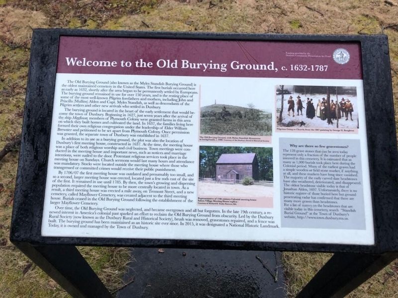
Welcome to the Old Burying Ground, c. 1632-1787
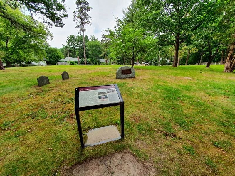
The Old Burying Ground (also known as the Myles Standish Burying Ground) is the oldest maintained cemetery in the United States. The first burials occurred here as early as 1632, shortly after the area began to be permanently settled by Europeans. The burying ground remained in use for over 150 years, and is the resting place of some of the most well-known Pilgrim forefathers and mothers, including John and Priscilla (Mullins) Alden and Capt. Myles Standish, as well as descendants of the Pilgrim settlers and other new arrivals who settled in Duxbury.
The burying ground is located in the heart of the early settlement that would become the town of Duxbury. Beginning in 1627, just seven years after the arrival of the ship Mayflower, members of Plymouth Colony were granted farms in this area on which they built homes and cultivated the land. In 1637, the families living here formed their own religious congregation under the leadership of Elder William Brewster and petitioned to be set apart from Plymouth Colony. Once permission was granted, the separate town of Duxbury was established in 1637.
In addition to its use as a burying ground, the plot was also the location of Duxbury's first meeting house, constructed in 1637. At the time, the meeting house was a place of both religious worship and civil business. Town meetings were conducted in the meeting house and important news, such as notices and marriage intentions were nailed to the door. Protestant religious services took place in the meeting house on Sundays. Church sermons would last many hours and attendance was mandatory. Stocks were located outside the meeting house where those who transgressed or committed crimes would receive their public punishment. By 1706/07 the first meeting house was outdated and presumably too small, and so a second, larger meeting house was erected, located just a few rods east of the site of the first. It remained in use until 1785. By then, the town's growing and dispersing population required the meeting house to be more centrally located in town. As a result, a third meeting house was erected a mile away, on Tremont Street, and a new cemetery, called Mayflower Cemetery, was created adjacent to the third meeting house. Burials ceased in the Old Burying Ground following the establishment of the larger Mayflower Cemetery.
Over time, the Old Burying Ground was neglected, and became overgrown and all but forgotten. In the late 19th century, a renewed interest in America's colonial past sparked an effort to reclaim the Old Burying Ground from obscurity. Led by the Duxbury Rural Society (now known as the Duxbury Rural and Historical
Society), brush was removed, gravestones repaired, and a fence was built. The burying ground has been maintained as an historic site ever since. In 2015, it was designated a National Historic Landmark. Today it is owned and managed by the Town of Duxbury.
Why are there so few gravestones?
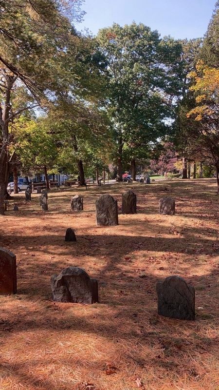
The 128 grave stones that can be seen today present only a fraction of the number of people interred in this cemetery. It is estimated that as many as 1000 burials took place here during the Colonial period. Many of the earliest graves had a simple wooden or field stone marker, it anything at all, and these markers have long since vanished. The majority of the early carved slate headstones have also weathered, degenerated and disappeared. The oldest headstone visible today is that of Jonathan Aden, 1697. Unfortunately, there is no historic register of those buried here but ground penetrating radar has confirmed that there are many more graves than headstones.
For a list of names on the headstones that are visble today in this cemetery, search "Standish Burial Ground” at the Town of Duxbury’s website, http://www.town.duxbury.ma.us.
Captions: The Old Burying Ground, with Myles Standish Monument in background, c. 1905…
Pilgrims Going to Church, from the 1867 painting by George H. Boughton.
Representation of 17th century Colonial meeting house, Saloon
Village Meeting House replica…
Erected by Duxbury Community Preservation Act Fund.
Topics. This historical marker is listed in these topic lists: Cemeteries & Burial Sites • Colonial Era • Settlements & Settlers. A significant historical year for this entry is 1632.
Location. 42° 1.493′ N, 70° 41.249′ W. Marker is in Duxbury, Massachusetts, in Plymouth County. Marker is on Chestnut Street, on the right when traveling west. Touch for map. Marker is at or near this postal address: 88 Chestnut Street, Duxbury MA 02332, United States of America. Touch for directions.
Other nearby markers. At least 8 other markers are within walking distance of this marker. America's Oldest Maintained Cemetery (a few steps from this marker); Site of First Church (a few steps from this marker); Memorial Stones of John and Priscilla Alden (within shouting distance of this marker); Captain Myles Standish (within shouting distance of this marker); Site of Second Meeting House (about 300 feet away, measured in a direct line); Welcome to the Old Burying Ground, c. 1632-1787 (about 300 feet away); Site of Nook Gate (approx. 0.4 miles away); The Beginning of the Bradford House (approx. 0.9 miles away). Touch for a list and map of all markers in Duxbury.
Also see . . . Pilgrims Going to Church. A portion of this painting is shown on the marker. (Submitted on April 7, 2020, by J. Makali Bruton of Accra, Ghana.)
Credits. This page was last revised on July 19, 2021. It was originally submitted on April 7, 2020, by J. Makali Bruton of Accra, Ghana. This page has been viewed 304 times since then and 34 times this year. Photos: 1. submitted on April 7, 2020, by J. Makali Bruton of Accra, Ghana. 2. submitted on July 19, 2021, by J. Makali Bruton of Accra, Ghana. 3. submitted on November 20, 2020, by J. Makali Bruton of Accra, Ghana.


