Malaga Cove in Palos Verdes Estates in Los Angeles County, California — The American West (Pacific Coastal)
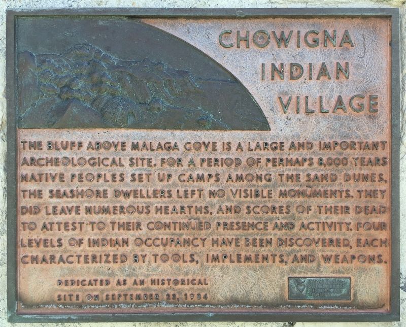
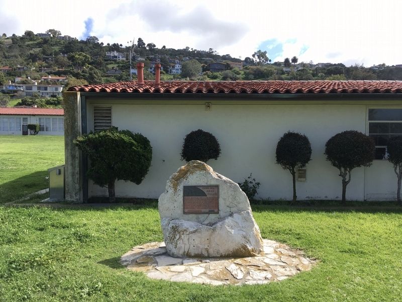
Chowigna Indian Village
Erected 1984 by Palos Verdes Historical Society.
Topics. This historical marker is listed in this topic list: Native Americans.
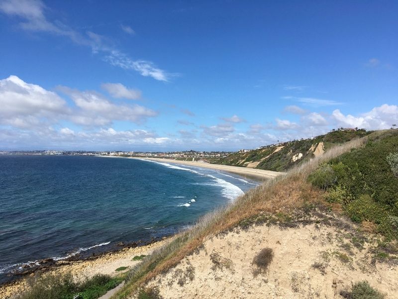
Location. 33° 48.109′ N, 118° 23.765′ W. Marker is in Palos Verdes Estates, California, in Los Angeles County. It is in Malaga Cove. Marker is on Paseo Del Mar east of Via Arroyo, on the right when traveling east. Touch for map. Marker is at or near this postal address: 300 Paseo Del Mar, Palos Verdes Peninsula CA 90274, United States of America. Touch for directions.
Other nearby markers. At least 8 other markers are within 3 miles of this marker, measured as the crow flies. Malaga Cove Library (approx. 0.4 miles away); Mirlo Gate Lodge Tower (approx. 2.4 miles away); Hotel Redondo (approx. 2˝ miles away); George Freeth (approx. 2.6 miles away); King Harbor and The Marinas (approx. 2.8 miles away); The Plunge and The Lightning Racer (approx. 3 miles away); Bill and Bob Meistrell (approx. 3 miles away); The Redondo Beach Plan (approx. 3 miles away). Touch for a list and map of all markers in Palos Verdes Estates.
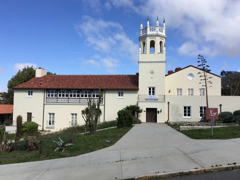
More about this marker. Located on the grounds of the former Malaga Cove School, now the Board of Education Administration Center.
Regarding Chowigna Indian Village. The Chowigna were relocated to the San Gabriel Mission around 1775. In the early 1900s, souvenir hunters collected arrowheads and other objects in the area. One man said he'd dug up a tule and reed boat, but threw it out because it seemed worthless to him. In 1936, USC and the Southwest Museum excavated the area and found thousands of artifacts, including arrowheads, mortars and pestles, spoons made from abalone, art objects, tools made from bones, remains of food animals and cooking fires, and gravesites. The most recent artifacts found were glass beads the Spanish brought.
Credits. This page was last revised on July 1, 2023. It was originally submitted on April 8, 2020, by Craig Baker of Sylmar, California. This page has been viewed 781 times since then and 93 times this year. Photos: 1, 2, 3, 4. submitted on April 8, 2020, by Craig Baker of Sylmar, California. • Syd Whittle was the editor who published this page.


