
Near Newell in Modoc County, California — The American West (Pacific Coastal)
Burnett Cutoff - Over a Prairie
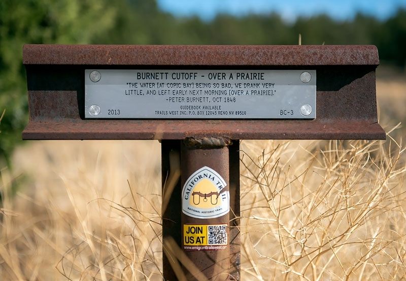
Photographed by Alvis Hendley, October 17, 2016
1. Burnett Cutoff - Over a Prairie Marker
Erected 2013 by Trails West. Inc. (Marker Number BC-3.)
Topics and series. This historical marker is listed in these topic lists: Exploration • Roads & Vehicles. In addition, it is included in the Lassen Trail and Burnett Cutoff, and the Trails West Inc. series lists. A significant historical month for this entry is October 1848.
Location. 41° 47.881′ N, 121° 18.178′ W. Marker is near Newell, California, in Modoc County. It is on Route 46N23 0.1 miles east of California Route 139, on the left when traveling east. The marker is on an unpaved Forest Service road about 140 yards from State Route 139. (Take State Route 139 about 6.9 miles north of Clear Lake Road and turn right on the Forest Service road. The Forest Service road is suitable for low clearance vehicles in dry weather.). Touch for map. Marker is in this post office area: Tulelake CA 96134, United States of America. Touch for directions.

Regionally, this marker is on California’s Modoc Plateau and in the Shasta Cascade.
this page online
Other nearby markers. At least 8 other markers are within 7 miles of this marker, measured as the crow flies: Burnett Cutoff (approx. 2.6 miles away); Battle of Land's Ranch (approx. 2.8 miles away); Burnett Cutoff - Muddy Waters (approx. 3.3 miles away); Raptors - Birds of Prey (approx. 5.6 miles away); Petroglyph Point (approx. 5.6 miles away); Warm Springs Indians (approx. 6.4 miles away); Captain Jack’s Stronghold (approx. 6½ miles away); Canby’s Cross (approx. 6½ miles away). Touch for a list and map of all markers in Newell.
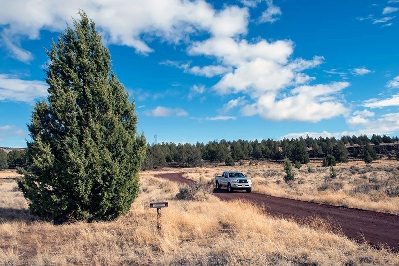
Photographed by Alvis Hendley, October 17, 2016
2. Burnett Cutoff - Over a Prairie Marker
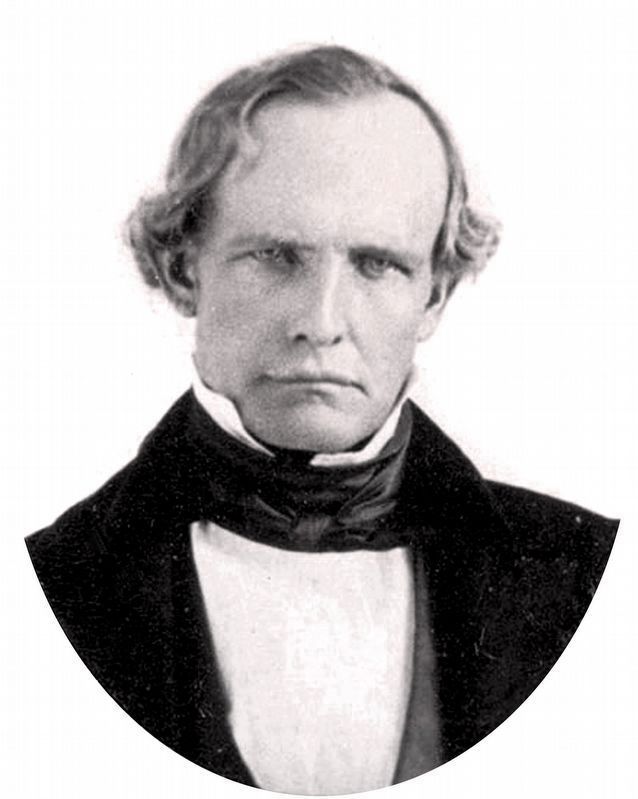
UC Berkeley, Bancroft Library
3. Peter Hardeman Burnett (1807-1895)
Credits. This page was last revised on October 13, 2020. It was originally submitted on April 8, 2020, by Alvis Hendley of San Francisco, California. This page has been viewed 301 times since then and 31 times this year. Photos: 1, 2. submitted on April 8, 2020, by Alvis Hendley of San Francisco, California. 3. submitted on October 13, 2020, by Allen C. Browne of Silver Spring, Maryland. • Syd Whittle was the editor who published this page.
