Near Canby in Modoc County, California — The American West (Pacific Coastal)
Lassen Trail - Rattlesnake Butte
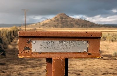
Photographed by Alvis Hendley, October 17, 2016
1. Lassen Trail - Rattlesnake Butte Marker
Erected 1997 by Trails West, Inc. (Marker Number L-8.)
Topics and series. This historical marker is listed in these topic lists: Exploration • Roads & Vehicles • Settlements & Settlers. In addition, it is included in the Lassen Trail and Burnett Cutoff, and the Trails West Inc. series lists. A significant historical date for this entry is October 6, 1849.
Location. 41° 25.304′ N, 120° 44.136′ W. Marker is near Canby, California, in Modoc County. It is at the intersection of County Route 54 and County Route 70, on the left when traveling east on County Route 54. Touch for map. Marker is in this post office area: Canby CA 96015, United States of America. Touch for directions.

Regionally, this marker is on the Modoc Plateau and in the Shasta Cascade. It is also in the American Mountain West. Globally, it is in North America, on the Ring of Fire, on the Pacific Rim, in the Western Hemisphere, in the Western World, and in the Anglosphere.
this page online
Other nearby markers. At least 6 other markers are within 12 miles of this marker, measured as the crow flies: Evans and Bailey Fight 1861 (approx. 3.4 miles away); Lassen Trail - Pit River (approx. 6.9 miles away); Lassen Trail - Foot Wear (approx. 10.4 miles away); Lassen Trail - Pit River Ford (approx. 10.8 miles away); Nevada-California-Oregon Railway Passenger Depot (approx. 11.1 miles away); Sacred Heart Catholic Church (approx. 11.2 miles away).
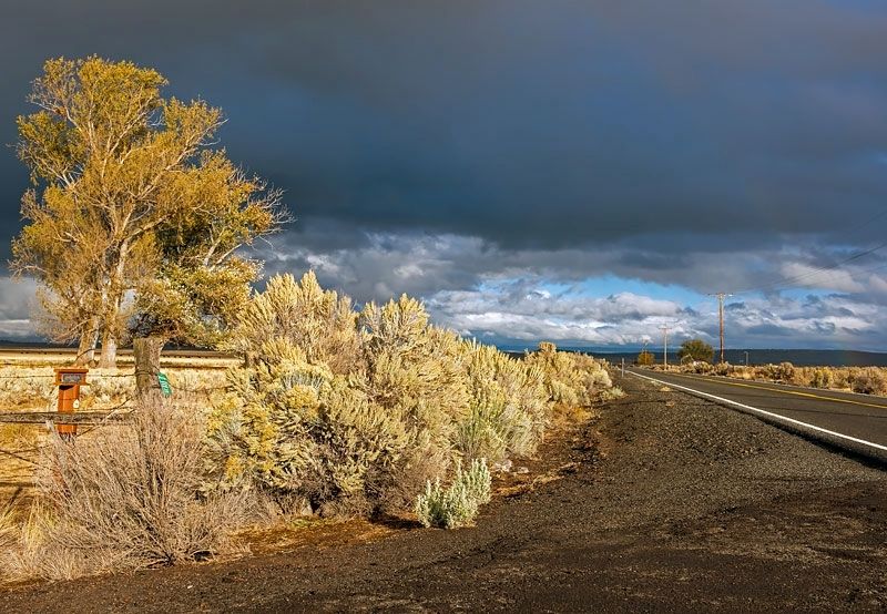
Photographed by Alvis Hendley, October 17, 2016
2. Lassen Trail - Rattlesnake Butte Marker
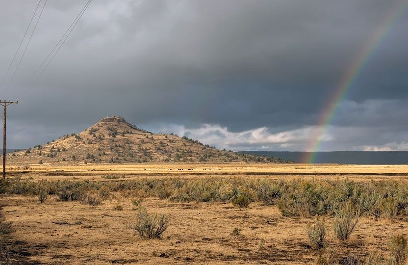
Photographed by Alvis Hendley, October 17, 2016
3. Rattlesnake Butte
Credits. This page was last revised on April 10, 2020. It was originally submitted on April 9, 2020, by Alvis Hendley of San Francisco, California. This page has been viewed 508 times since then and 38 times this year. Photos: 1, 2, 3. submitted on April 9, 2020, by Alvis Hendley of San Francisco, California. • Syd Whittle was the editor who published this page.
