Fredericksburg, Virginia — The American South (Mid-Atlantic)
Marye's Heights
Fredericksburg: Timeless.
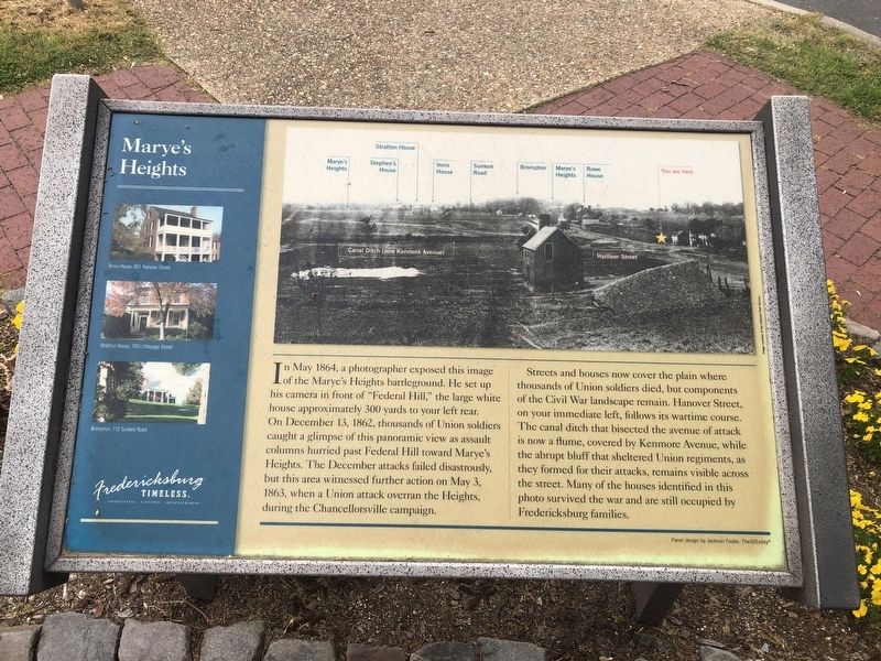
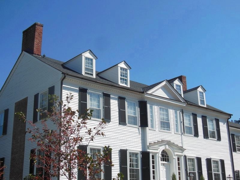
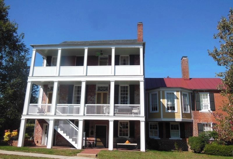
In May 1864, a photographer exposed this image of the Marye's Heights battleground. He set up his camera in front of "Federal Hill," the large white house approximately 300 yards to your left rear. On December 13, 1862, thousands of Union soldiers caught a glimpse of this panoramic view as assault columns hurried past Federal Hill toward Marye's Heights. The December attacks failed disastrously, but this area witnessed further action on May 3, 1863, when a Union attack overran the Heights, during the Chancellorsville campaign.
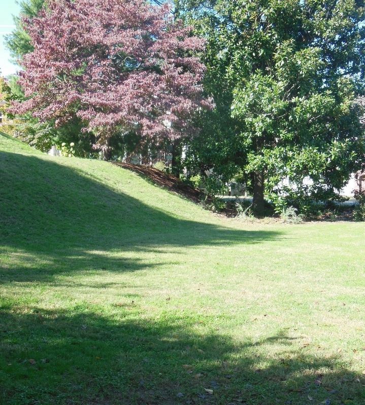
Streets and houses now cover the plain where thousands of Union soldiers died, but components of the Civil War landscape remain. Hanover Street, on your immediate left, follows its wartime course. The canal ditch that bisected the avenue of attack is now a flume, covered by Kenmore Avenue, while the abrupt bluff that sheltered Union regiments, as they formed for their attacks, remains visible across the street. Many of the houses identified in this photo survived the war and are still occupied by Fredericksburg families.
Erected by Fredericksburg Economic Development and Tourism Office.
Topics and series. This historical marker is listed in this topic list: War, US Civil. In addition, it is included in the Virginia, Fredericksburg: Timeless. series list. A significant historical month for this entry is May 1864.
Location. 38° 17.946′ N, 77° 27.906′ W. Marker is in Fredericksburg, Virginia. Marker is at the intersection of Hanover Street and Kenmore Avenue, on the right when traveling west on Hanover Street. Touch for map. Marker is at or near this postal address: 649 Hanover St, Fredericksburg VA 22401, United States of America. Touch for directions.
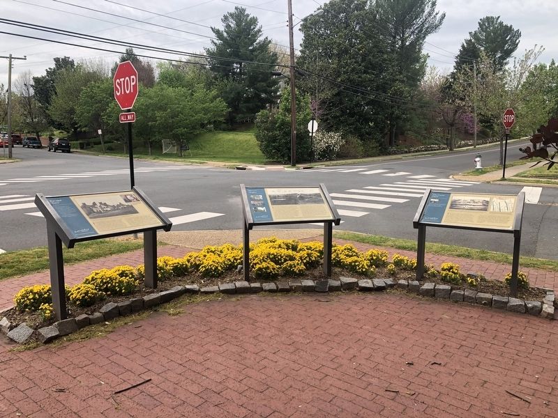
Other nearby markers. At least 8 other markers are within walking distance of this marker. The Canal Ditch (here, next to this marker); Ravaged Town (here, next to this marker); 1849 (about 300 feet away, measured in a direct line); The Rowe House (about 400 feet away); Barton Street Confederate Monument (about 500 feet away); The Barton Street Potter's Field (about 700 feet away); Liberty Town (about 700 feet away); A Memorial Landscape (about 700 feet away). Touch for a list and map of all markers in Fredericksburg.
Related marker. Click here for another marker that is related to this marker. This marker has replaced the linked marker.
Credits. This page was last revised on February 2, 2023. It was originally submitted on April 12, 2020, by Devry Becker Jones of Washington, District of Columbia. This page has been viewed 267 times since then and 34 times this year. Photos: 1, 2. submitted on April 12, 2020, by Devry Becker Jones of Washington, District of Columbia. 3. submitted on February 14, 2021, by Bradley Owen of Morgantown, West Virginia. 4, 5. submitted on February 16, 2021, by Bradley Owen of Morgantown, West Virginia.
