College Heights in Fredericksburg, Virginia — The American South (Mid-Atlantic)
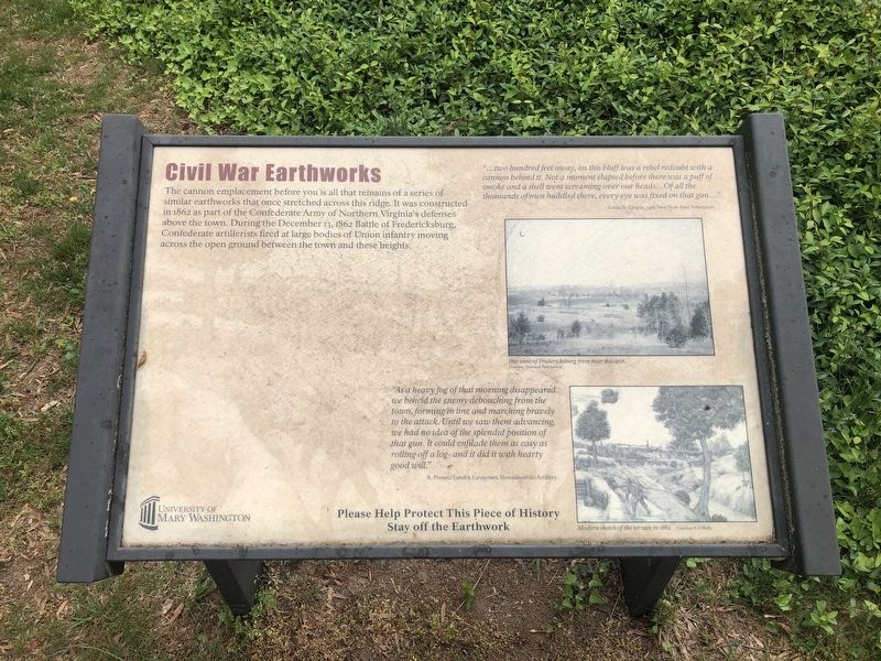
Civil War Earthworks
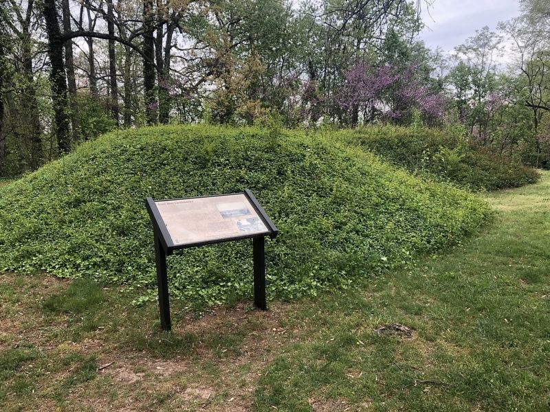
The cannon emplacement before you is all that remains of a series of similar earthworks that once stretched across this ridge. It was constructed in 1862 as part of the Confederate Army of Northern Virginia's defenses above the town. During the December 13, 1862 battle of Fredericksburg, Confederate artillerists fired at large bodies of Union infantry moving across the open ground between the town and these heights.
"…two hundred feet away, on this bluff was a rebel redoubt with a cannon behind it. Not a moment elapsed before there was a puff of smoke and a shell went screaming over our heads…Of all the thousands of men huddled there, every eye was fixed on that gun…"
Louis N. Chapin, 34th New York State Volunteers
"As a heavy fog of that morning disappeared we beheld the enemy debouching from the town, forming in line and marching bravely to the attack. Until we saw them advancing, we had no idea of the splendid position of that gun. It could enfilade them as easy as rolling off a log— and it did it with hearty good will."
R. Prosper Landry, Lieutenant, Donaldsonville Artillery
Erected by University of Mary Washington.
Topics. This historical marker is listed in these topic lists: Forts and Castles • War, US Civil. A significant historical date for this entry is December 13, 1862.
Location. 38° 17.928′ N, 77° 28.397′ W. Marker is in Fredericksburg, Virginia. It is in College Heights. Marker is at the intersection of William Street and College Avenue, on the right when traveling west on William Street. Touch for map. Marker is in this post office area: Fredericksburg VA 22401, United States of America. Touch for directions.
Other nearby markers. At least 8 other markers are within walking distance of this marker. Phi Beta Kappa (approx. 0.2 miles away); In Honor of Jean Donovan (approx. 0.2 miles away); James Leonard Farmer, Jr. (approx. 0.2 miles away); 1822 (approx. ¼ mile away); Battle of Fredericksburg (approx. ¼ mile away); c. 1840 (approx. ¼ mile away); The Ebert House and Store (approx. 0.3 miles away); Brompton (approx. 0.3 miles away). Touch for a list and map of all markers in Fredericksburg.
Credits. This page was last revised on February 2, 2023. It was originally submitted on April 12, 2020, by Devry Becker Jones of Washington, District of Columbia. This page has been viewed 208 times since then and 25 times this year. Photos: 1, 2. submitted on April 12, 2020, by Devry Becker Jones of Washington, District of Columbia.

