Fredericksburg, Virginia — The American South (Mid-Atlantic)
Fredericksburg Granite
Fredericksburg: Timeless.
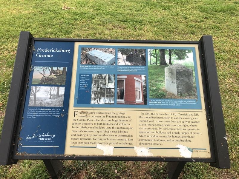
Fredericksburg is situated on the geologic boundary between the Piedmont region and the Coastal Plain. Here there are huge deposits of granite, attractive to both builders and architects. In the 1840s, canal builders used this metamorphic material extensively, quarrying it near job sites and floating it by boat to other sites as construction moved upstream. Getting such heavy material into town over poor roads, however, proved a challenge.
In 1901, the partnership of E.J. Cartright and J.H. Davis obtained permission to use the existing canal (behind you) to float stone from the upriver quarries to their stonecutting facility (to your right, where the houses are). By 1906, there were six quarries in operation and builders had a ready supply of granite, which is evident on nearby houses, prominent commercial buildings, and as curbing along downtown streets.
[Captions:]
These postcards of the Meditation Rock, which is on the hill in front of you, shows the granite works shed in the background (which would have been in this area). These postcards provided courtesy of the Central Rappahannock Heritage Center.
Granite blocks were cut loose by drilling holes into the bedrock and wedging or blasting the desired piece free.
This granite canal lock was constructed in conjunction with a dam, to feed water into a section of the Rappahannock Navigation System.
Dressed stone provided a durable material for entire buildings as well as elegant architectural features.
In 1903, this stone, and nine others like it, were placed on local battlefields by James Power Smith, former aide-de-camp to Stonewall Jackson. These materials were cut in the nearby work sheds of Cartright & Davis.
Erected by Fredericksburg
this page online
Topics and series. This historical marker is listed in these topic lists: Industry & Commerce • Natural Resources • Waterways & Vessels. In addition, it is included in the Virginia, Fredericksburg: Timeless. series list. A significant historical year for this entry is 1901.
Location. 38° 18.447′ N, 77° 28.165′ W. Marker is in Fredericksburg, Virginia. It is at the intersection of Rappahannock Canal Path and Washington Avenue, on the right when traveling east on Rappahannock Canal Path. Touch for map. Marker is at or near this postal address: 634 Maury St, Fredericksburg VA 22401, United States of America. Touch for directions.

Regionally, this marker is in the Washington Metropolitan Area and in Northern Virginia. It is also in the American South and specifically in the Upper South. Globally, it is in North America, the Western Hemisphere, the Western World, and the Anglosphere. Historically, it finds itself in what was once the territory of the Mississippian Culture, one of the original Thirteen Colonies, one of the Confederate States of America, and the Antebellum South.
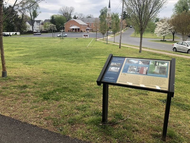
Other nearby markers. At least 8 other markers are within walking distance of this marker: The Canal Ditch: Battlefield Obstacle (about 400 feet away); Col. George Eskridge Memorial Tree (about 600 feet away); Meditation Rock (about 600 feet away); The Mary Washington Monument (about 600 feet away); Mary Washington Burial Site (about 600 feet away); Religious Liberty (about 600 feet away); Welcome (about 600 feet away); A Canal Defines Its Neighborhood (approx. 0.2 miles away). Touch for a list and map of all markers in Fredericksburg.
Another marker is no longer nearby. The Canal Ditch (was about 300 feet away, measured in a direct line but has been replaced with another marker now near it).
Credits. This page was last revised on February 2, 2023. It was originally submitted on April 12, 2020, by Devry Becker Jones of Washington, District of Columbia. This page has been viewed 656 times since then and 47 times this year. Photos: 1, 2. submitted on April 12, 2020, by Devry Becker Jones of Washington, District of Columbia.
