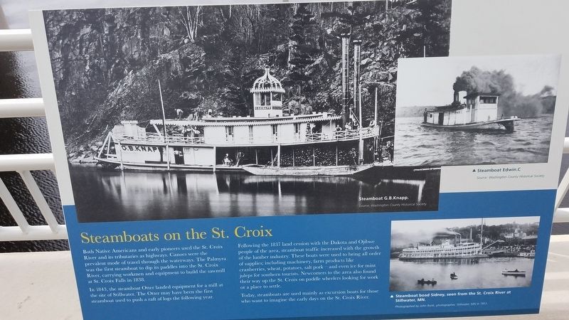
Steamboats on the St. Croix
In 1843, the steamboat Otter landed equipment for a mill at the site of Stillwater. The Otter may have been the first steamboat used to push a raft of logs the following year.
Following the 1837 land cession with the Dakota and Ojibwe people of the area, steamboat traffic increased with the growth of the lumber industry. These boats were used to bring all order of supplies, including; machinery, farm products like cranberries, wheat, potatoes, salt pork- and even ice for mint juleps for southern tourists. Newcomers to the area also found their way up the St. Croix on paddle wheelers looking for work or a place to settle.
Today, steamboats are used mainly as excursion boats for those who want to imagine the early days on the St. Croix River.
Photo captions:
{Left} Steamboat G.B Knapp
Source: Washington County Historical Society
{Top Right} Steamboat Edwin. C
Source: Washington County Historical Society
{Bottom right} Steamboat boat Sidney, seen
Photographed by John Runk, photographer, Stillwater, MN in 1913.
Erected 2017.
Topics. This historical marker is listed in these topic lists: Industry & Commerce • Native Americans • Waterways & Vessels.
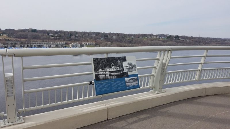
Location. 45° 2.536′ N, 92° 47.106′ W. Marker is near Oak Park Heights, Minnesota, in Washington County. Marker is on Highway 36. Marker is on Minnesota Highway 36, on the right when traveling west. It is located along the St. Croix Trail Crossing Loop path. Touch for map. Marker is in this post office area: Stillwater MN 55082, United States of America. Touch for directions.
Other nearby markers. At least 8 other markers are within walking distance of this marker. White Pine Treaty (a few steps from this marker in Wisconsin); Where's the State Boundary? (a few steps from this marker); St. Croix Crossing (approx. ¼ mile away); Migration (approx. ¼ mile away in Wisconsin); Protecting the Watershed (approx. ¼ mile away in Wisconsin); Home to Bald Eagles (approx. ¼ mile away in Wisconsin); Building a Bridge (approx. ¼ mile away); Brule-St. Croix Waterway (approx. 0.4 miles away in Wisconsin). Touch for a list and map of all markers in Oak Park Heights.
Credits. This page was last revised on April 13, 2020. It was originally submitted on April 13, 2020, by Fitzie Heimdahl of Eau Claire, Wisconsin. This page has been viewed 221 times since then and 30 times this year. Photos: 1, 2. submitted on April 13, 2020, by Fitzie Heimdahl of Eau Claire, Wisconsin. • Mark Hilton was the editor who published this page.

