Henderson in Chester County, Tennessee — The American South (East South Central)
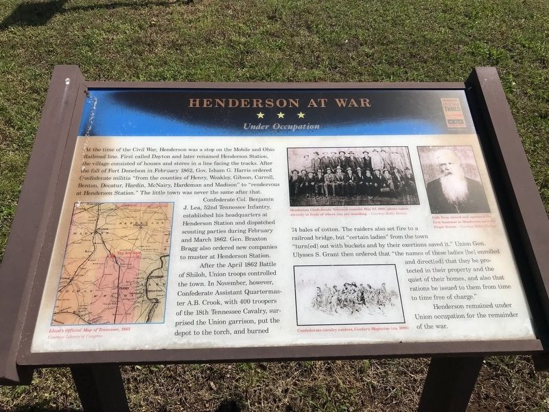
Henderson at War
Under Occupation
Photographed by Duane and Tracy Marsteller, April 18, 2020
1. Henderson at War Marker
Confederate Col. Benjamin J. Lea, 52nd Tennessee Infantry, established his headquarters at Henderson Station and dispatched scouting parties during February and March 1862. Gen. Braxton Bragg also ordered new companies to muster at Henderson Station.
After the April 1862 Battle of Shiloh, Union troops controlled the town. In November, however, Confederate Assistant Quartermaster A.B. Crook, with 400 troopers of the 18th Tennessee Cavalry, surprised the Union garrison, put the depot to the torch, and burned 74 bales of cotton. The raiders also set fire to a railroad bridge, but “certain ladies” from the town "turn[ed]
this page online
Henderson remained under Union occupation for the remainder of the war.
(captions)
(left) Lloyd's Official Map of Tennessee, 1863 Courtesy Library of Congress
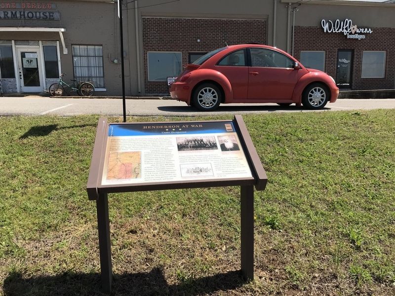
(top center) Henderson Confederate Veterans reunion May 27, 1901; photo taken directly in front of where you are standing. - Courtesy Bobby Barnes
(bottom center) Confederate cavalry raiders, Century Magazine (ca. 1880)
(top right) Polk Bray owned and operated the first business in Henderson here on Front Street. -Courtesy Bobby Barnes
Erected by Tennessee Civil War Trails.
Topics and series. This historical marker is listed in this topic list: War, US Civil. In addition, it is included in the Tennessee Civil War Trails series list. A significant historical month for this entry is February 1862.
Location. 35° 26.292′ N, 88° 38.516′ W. Marker is in Henderson, Tennessee, in Chester
Photographed by Duane and Tracy Marsteller, April 18, 2020
2. Henderson at War Marker

Regionally, this marker is in West Tennessee. It is also in the American South and specifically in the Upper South. Globally, it is in North America, the Western Hemisphere, the Western World, and the Anglosphere. Historically, it finds itself in what was once the territory of the Mississippian Culture, one of the Confederate States of America, and the Antebellum South.
Other nearby markers. At least 8 other markers are within walking distance of this marker: Historic Front Street (within shouting distance of this marker); Eddy Arnold (about 400 feet away, measured in a direct line); Tornado of 1952 (about 800 feet away); Chester County War Memorial (approx. 0.2 miles away); Fighting For Control (approx. 0.2 miles away); Chester County Courthouse (approx. 0.2 miles away); Old Main Administration Building (approx. 0.2 miles away); Freed-Hardeman College (approx. 0.2 miles away). Touch for a list and map of all markers in Henderson.
Credits. This page was last revised on November 10, 2024. It was originally submitted on April 19, 2020, by Duane and Tracy Marsteller of Murfreesboro, Tennessee. This page has been viewed 661 times since then and 56 times this year. Photos: 1, 2. submitted on April 19, 2020, by Duane and Tracy Marsteller of Murfreesboro, Tennessee. • Bernard Fisher was the editor who published this page.
